 Conservation Envt
- img: https://pics.landcover100.com/pics/image/CON1.png
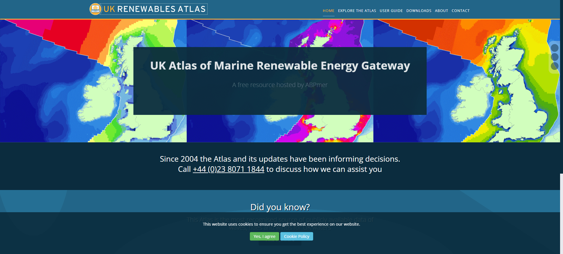
  link: http://www.renewables-atlas.info/
  name: Atlas of UK Marine Renewable Energy Resources
  desc: Renewable Energy Technologies (Wind, Wave, and Tidal)
  author: Login Required?Yes, for downloadble layers
- img: https://pics.landcover100.com/pics/image/CON2.png
  link: http://www.npi.gov.au/index.html
  name: Australian National Pollutant Inventory
  desc: Australia Pollution Data, non-spatial
  author: Login Required?No
- img: https://pics.landcover100.com/pics/image/CON4.png
  link: http://www.biodiversity.bz/
  name: Belize Biodiversity Clearing House Mechanism
  desc: Biodiversity
  author: Login Required?No
- img: https://pics.landcover100.com/pics/image/CON11.png
  link: http://www.portalu.de/
  name: German Environmental Information Portal
  desc: Searches within other data sources
  author: Login Required?No
- img: https://pics.landcover100.com/pics/image/CON15.png
  link: http://www.wri.org/publication/pilot-analysis-global-ecosystems-grassland-ecosystems#data
  name: Grassland ecosystems
  desc:  Food, forage and livestock, biodiversity, carbon storage, and tourism and recreation
  author: Login Required?No
- img: https://pics.landcover100.com/pics/image/CON17.png
  link: http://mw1.google.com/mw-earth-vectordb/outreach/mapa/nl_mapa.kml
  name: MAPA Project (Conservation lands and projects in Africa)
  desc: KMZ
  author: Login Required?No
- img: https://pics.landcover100.com/pics/image/CON18.png
  link: http://www.coast.ph/coastdb/
  name: Marine Protected Areas
  desc: Includes listing of marine protected area, no spatial data
  author: Login Required?No
- img: https://pics.landcover100.com/pics/image/CON20.png
  link: http://www.gis.ucar.edu/atmo_data.jsp
  name: National Center for Atmospheric Research Climate Change Datasets
  desc: Shape, txt, KML, JPEG - live services listed on Live Services tab.
  author: Login Required?No
- img: https://pics.landcover100.com/pics/image/CON21.png
  link: http://www.gis.ucar.edu/vformCchange.jsp
  name: National Center for Atmospheric Research Community Climate System Model
  desc: KML
  author: Login Required?Yes
- img: https://pics.landcover100.com/pics/image/CON26.png
  link: http://www.sage.wisc.edu/mapsdatamodels.html
  name: The Center for Sustainability and the Global Environment (SAGE) land use / land cover datasets
  desc: Crops, soil carbon and nitrogen, river discharge, MODIS Urban Extent
  author: Login Required?No
- img: https://pics.landcover100.com/pics/image/CON27.png
  link: http://geodata.grid.unep.ch/
  name: UNEP - GEO Data Portal
  desc: Emissions, climate, disasters AND other global environment (forests, freshwater, etc.)
  author: Login Required?No
- img: https://pics.landcover100.com/pics/image/CON33.png
  link: http://worldwildlife.org/pages/conservation-science-data-and-tools
  name: World Wildlife Fund Conservation Science Data Sets
  desc: Marine and Terrestrial Ecoregions, hydrosheds, and global lakes and wetlands
  author: Login Required?Yes
- img: https://pics.landcover100.com/pics/image/CON36.png
  link: http://www.africasoils.net/data/data-portal-home1
  name: African Soil Information Service
  desc: Databases, field collection points (kml), MODIS derived products including landcover; map client
  author: Login Required?No
导航表格 有一些网站是没有加载出来的,就没有做成贴片。更详细的信息见下表:
| Name | Web Address | Notes |
|---|---|---|
| Atlas of UK Marine Renewable Energy Resources | http://www.renewables-atlas.info/ | Renewable Energy Technologies (Wind, Wave, and Tidal) |
| Australian National Pollutant Inventory | http://www.npi.gov.au/index.html | Australia Pollution Data, non-spatial |
| Australian National Pollutant Inventory | http://www.npi.gov.au/index.html | Pollution |
| Belize Biodiversity Clearing House Mechanism | http://www.biodiversity.bz/ | Biodiversity |
| Conservation GeoPortal | http://www.conservationmaps.org/ | GIS data and map service catalog for the conservation community - not yet functioning (July 2012)? |
| ENVIROCAT | http://www.envirocat.ch/ | Swiss Catalogue of Environmental Data Sources |
| Environmental Data Compendium | http://www.mnp.nl/mnc/index-en.html | Environmental |
| Ethiopia: Establishment of Environmental Geoportal (metadata and catalog services) with Open source Solutions | http://memberservices.gsdi.org/files/?artifact_id=1080 | Environmental Concerns in the Horn of Africa; Portal is Under Construction |
| Europoean Environment Agency Data Service | http://www.eea.europa.eu/data-and-maps/data#c5=all&c11=&c17=&c0=5&b_start=0 | |
| Forest ecosystems | http://www.wri.org/publication/pilot-analysis-global-ecosystems-forest-ecosystems#data | |
| German Environmental Information Portal | http://www.portalu.de/ | Searches within other data sources |
| Global Change Master Directory | http://gcmd.gsfc.nasa.gov/ | Agriculture, Atmoshphere, biology, etc. |
| Global Environment Monitoring System | http://www.gemstat.org/ | |
| Global Forest Watch | http://ims.missouri.edu/gfwmetadataexplorer/ | |
| Grassland ecosystems | http://www.wri.org/publication/pilot-analysis-global-ecosystems-grassland-ecosystems#data | Food, forage and livestock, biodiversity, carbon storage, and tourism and recreation |
| Inland fisheries by country | http://docs.wri.org/page_freshwater_frefish.zip | |
| MAPA Project (Conservation lands and projects in Africa) | http://mw1.google.com/mw-earth-vectordb/outreach/mapa/nl_mapa.kml | KMZ |
| Marine Protected Areas | http://www.coast.ph/coastdb/ | Includes listing of marine protected area, no spatial data |
| Marine Protected Areas Atlas | http://www.mpatlas.org/explore/ | not downloadable |
| National Center for Atmospheric Research Climate Change Datasets | http://www.gis.ucar.edu/atmo_data.jsp | Shape, txt, KML, JPEG - live services listed on Live Services tab. |
| National Center for Atmospheric Research Community Climate System Model | http://www.gis.ucar.edu/vformCchange.jsp | KML |
| Netherlands Environmental Data Compendium | http://www.mnp.nl/mnc/index-en.html | Nethlerlands Environmental Data, non-spatial |
| Ocean Health Index | http://www.oceanhealthindex.org/Countries/ | Web app ocean health index |
| Ramsar Sites Information Service | http://ramsar.wetlands.org/GISMaps/DownloadGISdatasets/tabid/769/language/en-US/Default.aspx | wetlands downloadable data; webapp, google earth and pdf versions also available; |
| Reefbase (Global Coral Reef database from UNEP-WCMC Biodiversity Map Library) | http://reefgis.reefbase.org/mapper.asp | Dowload link doesn't appear to work |
| The Center for Sustainability and the Global Environment (SAGE) land use / land cover datasets | http://www.sage.wisc.edu/mapsdatamodels.html | Crops, soil carbon and nitrogen, river discharge, MODIS Urban Extent |
| UNEP - GEO Data Portal | http://geodata.grid.unep.ch/ | Emissions, climate, disasters AND other global environment (forests, freshwater, etc.) |
| UNEP Asia and the Pacific GEO Data Portal | http://geodata.rrcap.unep.org/ | Emissions, climate, disasters AND other global environment (forests, freshwater, etc.) |
| UNEP Live (Prototype) | http://www.uneplive.org/ (opens new window) | Doesn't look like data is downloadable but you can download map - I think the plan later on is to support live services in conjunction with GEOSS but I may be wrong |
| UNEP-WCMC Centre's Interactive Map Service | http://imaps.unep-wcmc.org/imaps_index.htm | |
| World Climate Data | http://www.worldclim.org/ | |
| World Meteorological Station Location Information at the National Weather Service | http://www.nws.noaa.gov/oso/site.shtml | download as ascii w/lat,long |
| World Wildlife Fund Conservation Science Data Sets | http://worldwildlife.org/pages/conservation-science-data-and-tools | Marine and Terrestrial Ecoregions, hydrosheds, and global lakes and wetlands |
| Moabi | http://drc.moabi.org/ | geodata sharing platform to track deforestation in the DRC |
| Marine Map Data | http://marinemap.org/mlpa_data/ | Montly snapshots. KML service: http://northcoast.marinemap.org/layers/public |
| African Soil Information Service | http://www.africasoils.net/data/data-portal-home1 | Databases, field collection points (kml), MODIS derived products including landcover; map client has download access: http://www.ciesin.columbia.edu/afsis/mapclient/; soil profiles as KML here: http://www.isric.org/sites/default/files/private/datasets/AfSP01Qry_ISRIC.zip |
| Land Matrix | http://www.landmatrix.org/en/get-the-detail/ | Online Public Database on Land Deals, including global map of investments |
| WorldClim | http://www.worldclim.org/ | Current and past climates |
| CRU global climatic data | ||
| Weather Forecasts APIs | http://free-web-services.com/web-services/geo/weather/ | |
| Climate.gov (opens new window) | http://www.climate.gov/maps-data | Climate data service; static maps, map app; look partners page for more information on data accessiblilty: http://www.climate.gov/decision-support/department/data-products |
| UNEP Hotspot live servcies | http://www.na.unep.net/atlas/webServices.php | rest service, json endpoint, xy or country avaible in the response |
| WWF Terrestrial Ecosystems of the World | http://www.worldwildlife.org/publications/terrestrial-ecoregions-of-the-world | 867 terrestrial ecoregions, classified into 14 different biomes; available as a shapefile with two .lyr layer files |
| United Nations Environmental Data Explorer's Online Database | http://geodata.grid.unep.ch/ | Spatial and Non-spatial data covering themes like Freshwater, population, forests, emissions, climate, disasters, health and GDP spatial and non-spatial data |
有问题,我来改改 (opens new window)
上次更新: 2022/10/17, 19:07:36

