 Global
Global
- img: https://pics.landcover100.com/pics/image/GLOBAL3.png
  link: http://aws.amazon.com/datasets/Geographic?browse=1
  name: Amazon Web Services Public Geographic Data Sets
  desc: Open Street Map, US Streets and Addresses
  author: Login Required?No
- img: https://pics.landcover100.com/pics/image/GLOBAL4.png
  link: http://maps.redcross.org/website/Services/ARC_Services.html
  name: American Red Cross Map Services and Data Catalog
  desc: Mostly US but also links to some international data and services; see also their
- img: https://pics.landcover100.com/pics/image/GLOBAL1.png
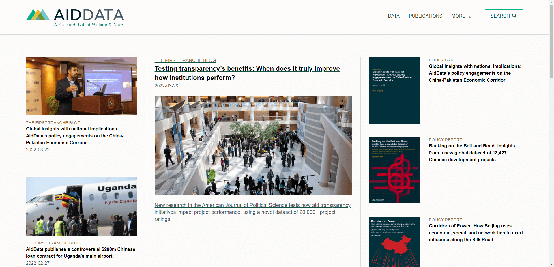
  link: http://aiddata.org/
  name: AIDDATA from William and Mary
  desc: Mostly aid data including location of development and research projects; GeoQuer morta
- img: https://pics.landcover100.com/pics/image/GLOBAL6.png
  link: http://www.agc.army.mil/Home/LearnAboutAGC.aspx
  name: Army Geospatial Center, US Army Corps of Engineers
  desc: I should parse these for downloadable data
- img: https://pics.landcover100.com/pics/image/GLOBAL7.png
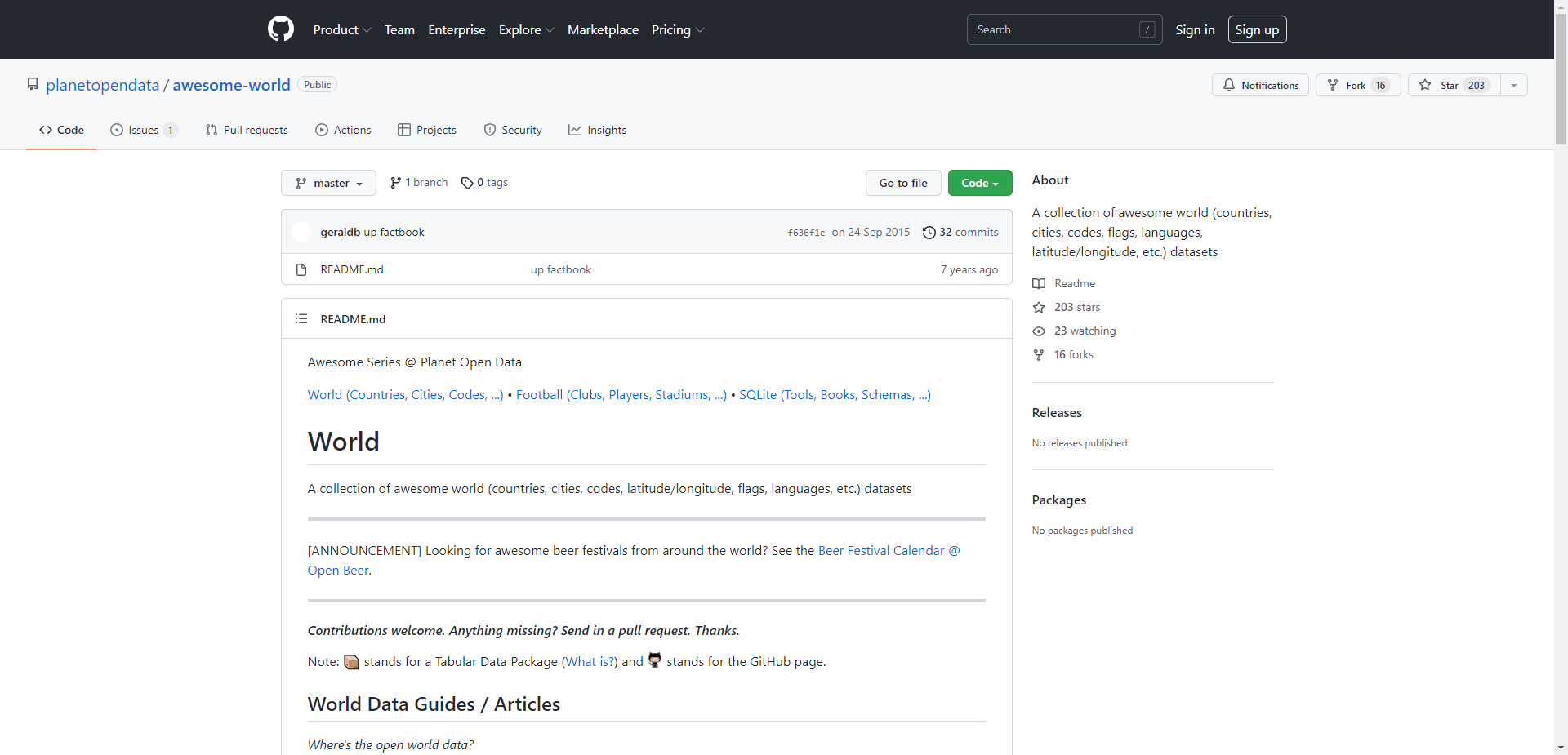
  link: https://github.com/planetopendata/awesome-world
  name: Awesome World
  desc: A collection of awesome world (countries, cities, codes, latitude/longitude, fla
  author: Github account
- img: https://pics.landcover100.com/pics/image/GLOBAL11.png
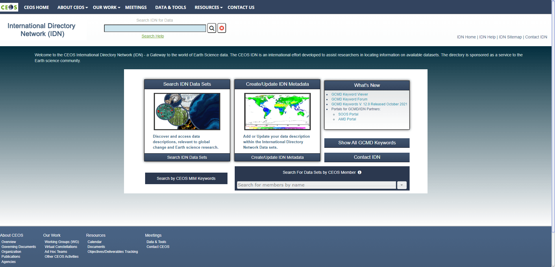
  link: http://idn.ceos.org/
  name: CEOS International Directory Network
  desc: Mostly earth sicience data but has list of portals classified by host agency typetadat
- img: https://pics.landcover100.com/pics/image/GLOBAL14.png
  link: http://www.evl.uic.edu/pape/data/WDB/
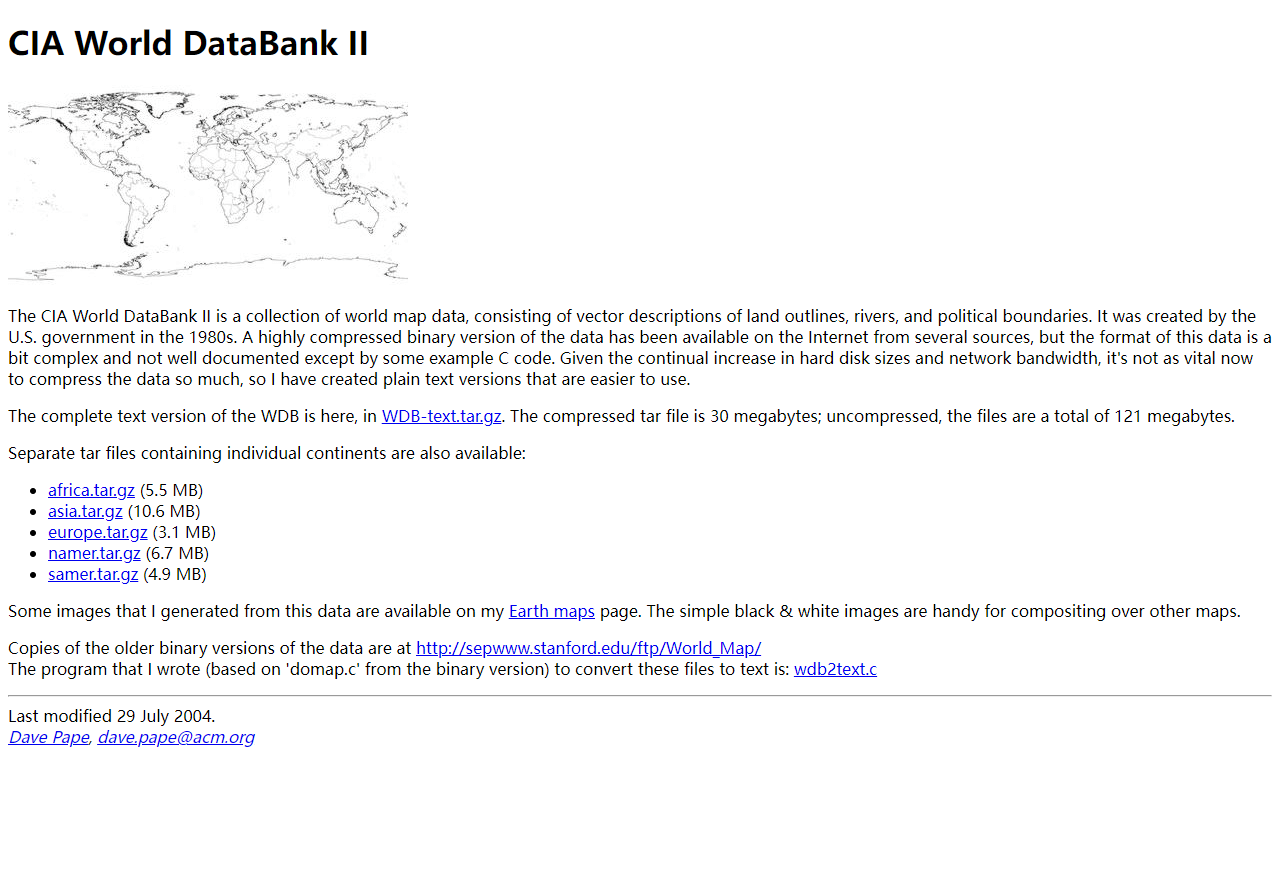
  name: CIA World DataBank II
  desc: collection of world map data, consisting of vector descriptions of land outlines
- img: https://pics.landcover100.com/pics/image/GLOBAL18.png
  link: https://docs.google.com/spreadsheet/ccc?authkey=CMTsxqsP&key=0Am3aiDauTC9ndHFOdG
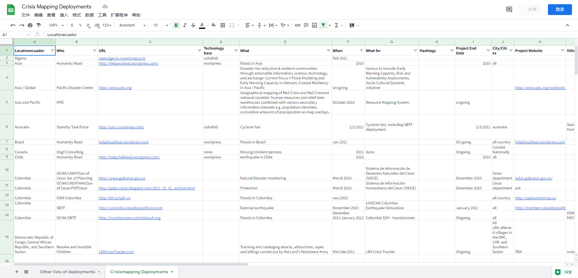
  name: Crisis Mapping Deployments
  desc: Compilation of Crisis Mappers deployments; has link to Stand By Task Force deplo
- img: https://pics.landcover100.com/pics/image/GLOBAL19.png
  link: https://datahub.io
  name: Data Hub``
  desc: Range of spatial and non-spatial open data (has option for private data)
- img: https://pics.landcover100.com/pics/image/GLOBAL20.png
  link: http://dataportals.org/
  name: Data Portals
  desc: Previously datacatalogs.org; Catalog of catalogues - all open data but not neces
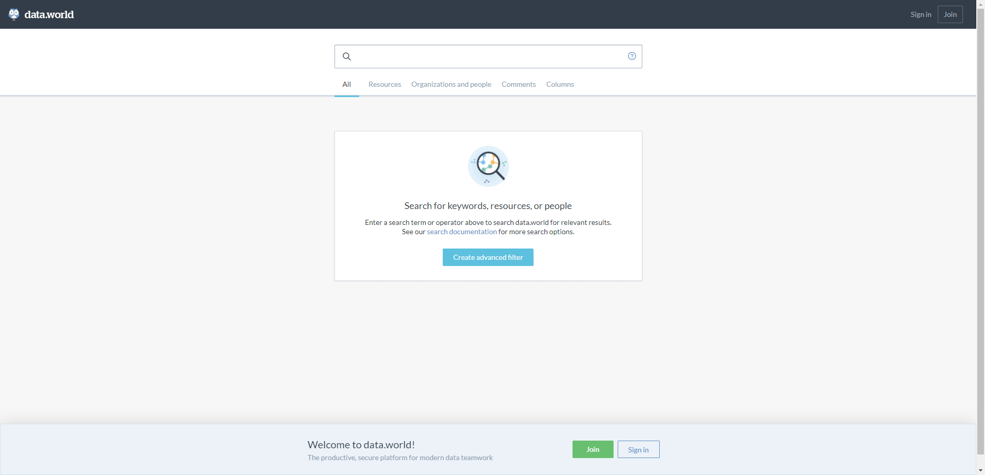
- img: https://pics.landcover100.com/pics/image/GLOBAL24.png
  link: https://data.world/search?q=
  name: data.world
  desc: sample admin boundary search https://data.world/search?q=administrative+boundar
  author: Login Required?No, if you go directly to search, Login Required?Yes from splas
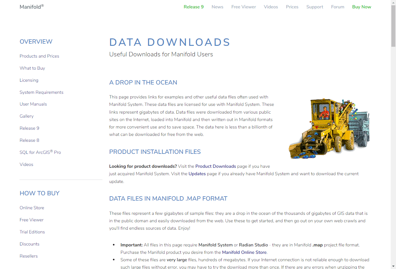
- img: https://pics.landcover100.com/pics/image/GLOBAL25.png
  link: http://www.manifold.net/updates/data_downloads.shtml
  name: DCW (Digital Chart of the World) and VMAP0
  desc: Manifold format
- img: https://pics.landcover100.com/pics/image/GLOBAL32.png
  link: http://fieldpapers.org/
  name: FieldPapers (From Stamen Design)
  desc: Use to print an atlas of rendered maps of OSM data, mark up, take a picture and
- img: https://pics.landcover100.com/pics/image/GLOBAL33.png
  link: http://freegisdata.rtwilson.com/
  name: Free GIS Datasets
  desc: List of RS/GIS data sources compiled by Robin Wilson 每 a PhD student at the Uni
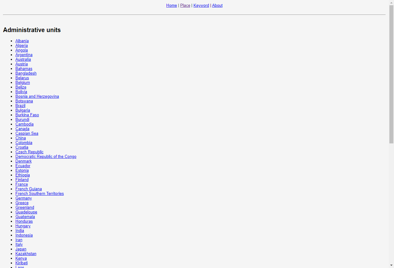
- img: https://pics.landcover100.com/pics/image/GLOBAL34.png
  link: http://freegisdata.org/place/
  name: Freegisdata.org
  desc: looks like links to web services, searchable by administrative unit name
- img: https://pics.landcover100.com/pics/image/GLOBAL36.png
  link: http://www.geobis.com/mdi_eng_opt.htm
  name: Geobis
  desc: Maps and Socio  Geo Demographics
- img: https://pics.landcover100.com/pics/image/GLOBAL37.png
  link: http://geocommons.com/
  name: Geocommons
  desc: Open data federation via OpenSearch and Atom. Download in KML, CSV, Atom, SQLite
- img: https://pics.landcover100.com/pics/image/GLOBAL39.png
  link: http://gis.lib.berkeley.edu:8080/openGeoPortalHome.jsp
  name: GeoData@Berkeley
  desc:
  author: Login Required?Yes for some data
- img: https://pics.landcover100.com/pics/image/GLOBAL41.png
  link: http://geolode.org/preview/
  name: Geolode
  desc: Includes documents, tooos
- img: https://pics.landcover100.com/pics/image/GLOBAL42.png
  link: http://www.geopostcodes.com
  name: GeoPostcodes
  desc: Zip codes and Postal codes of the World, database with region, city, zip code, l
- img: https://pics.landcover100.com/pics/image/GLOBAL44.png
  link: http://tinyurl.com/ksnep8e (or http://csmgis.maps.arcgis.com/apps/OnePane/basicv
  name: GIS-based Index to World Topo Maps (Colorado School of Mines)
  desc: Index (footprints) of scanned copies of paper, toposheets from different institus; als
- img: https://pics.landcover100.com/pics/image/GLOBAL46.png
  link: http://sedac.ciesin.columbia.edu/povmap/ds_info.jsp
  name: Global Distribution of Poverty
  desc: Poverty and food security
- img: https://pics.landcover100.com/pics/image/GLOBAL47.png
  link: http://www.gemstat.org/
  name: Global Environment Monitoring System
  desc: Water Science Data
- img: https://pics.landcover100.com/pics/image/GLOBAL48.png
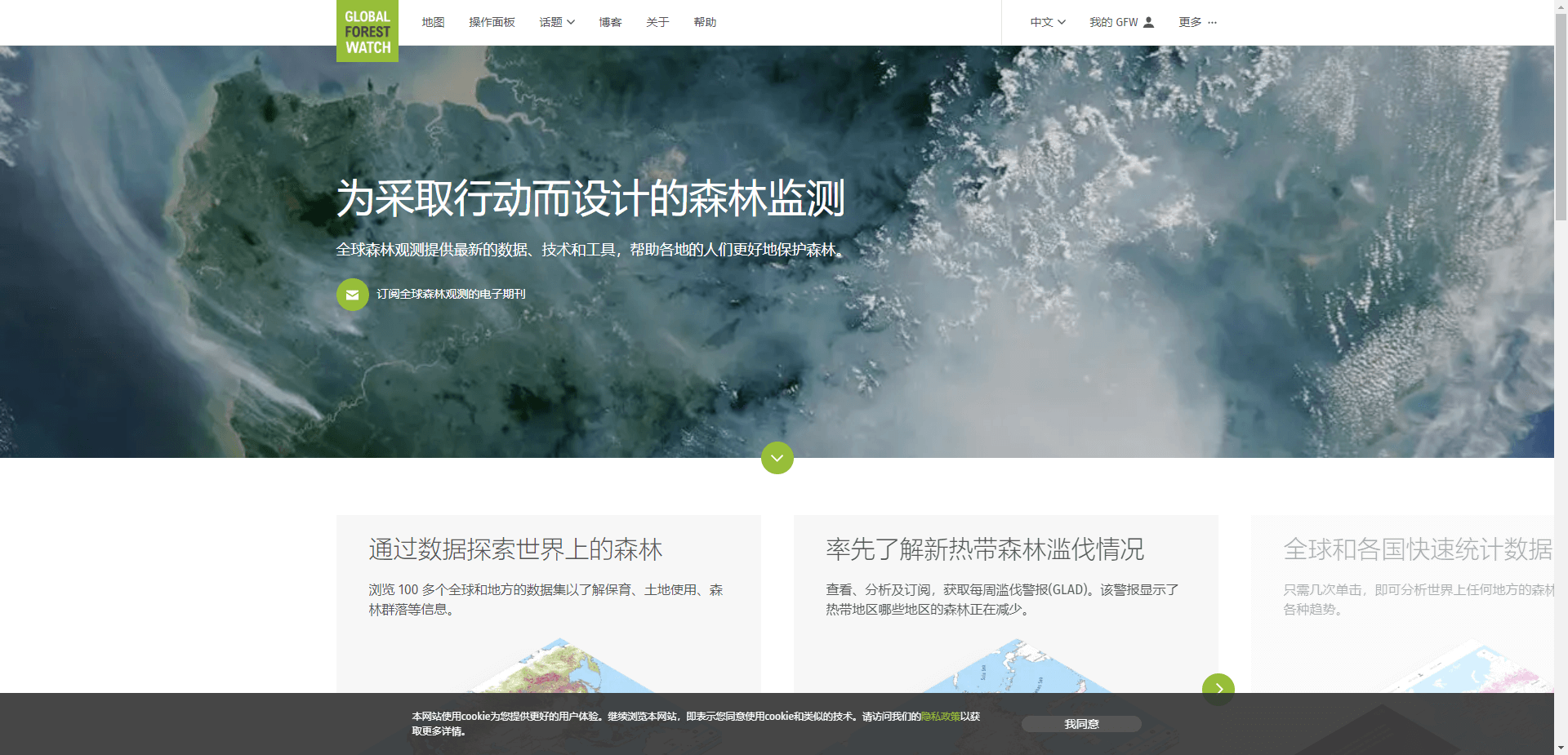
  link: http://www.globalforestwatch.org/
  name: Global Forest Watch
  desc: nodata
- img: https://pics.landcover100.com/pics/image/GLOBAL49.png
  link: https://lpdaac.usgs.gov/get_data
  name: Global Land Cover Characteristics (GLCC) database
  desc: Landcover
- img: https://pics.landcover100.com/pics/image/GLOBAL54.png
  link: http://www.gripweb.org/gripweb/?q=global-datasets-catalogue
  name: GRIP Global Datasets Catalogue
  desc: Regional and global demographics, geophysical and economic information, and deve
- img: https://pics.landcover100.com/pics/image/GLOBAL59.png
  link: http://www.icsu-wds.org/services/data-portal
  name: ICSU World Data System
  desc: Portal is in beta release
- img: https://pics.landcover100.com/pics/image/GLOBAL60.png
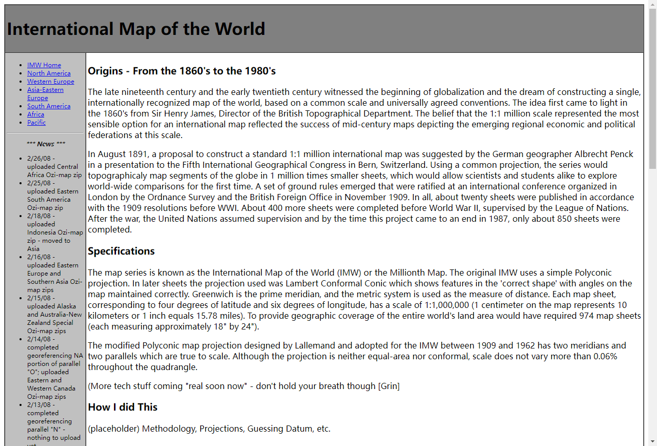
  link: http://petercon.freeshell.org/imw/
  name: International Map of the World/Millionth Map
  desc: Scanned sheets, downloadable as Ozi Explorer MAP files 1:1,000,000
- img: https://pics.landcover100.com/pics/image/GLOBAL65.png
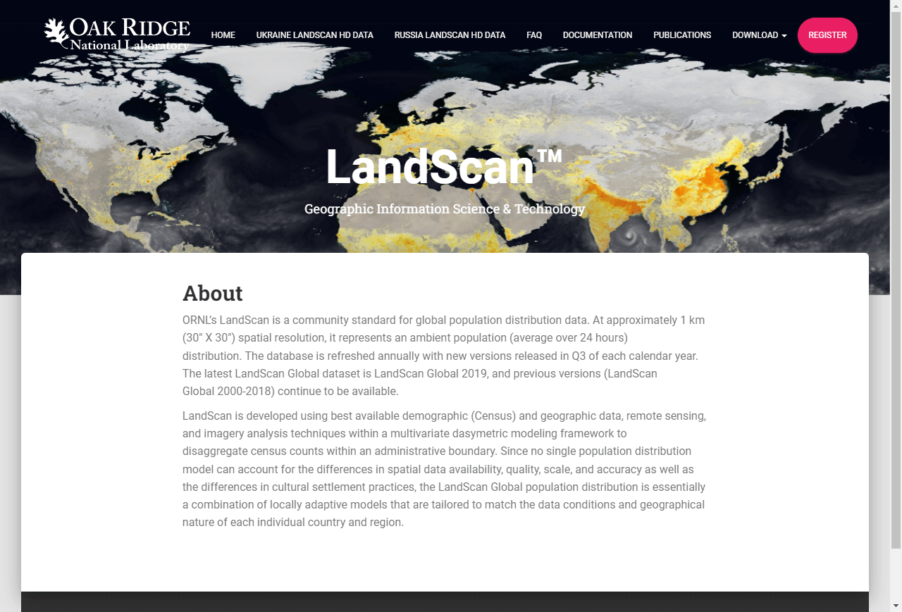
  link: http://www.ornl.gov/sci/landscan/landscan_data_avail.shtml
  name: LandScan Global Population 2000 Database
  desc: Population
  author: Samples without registering; Login Required?Yes otherwise
- img: https://pics.landcover100.com/pics/image/GLOBAL72.png
  link: http://www.wri.org/publication/mining-and-critical-ecosystems/data-sets
  name: Mining and Critical Ecosystems Downloadable GIS datasets (World Resources Instit
  desc: Includes ag and urban areas, evaporation, precipitation, mining
- img: https://pics.landcover100.com/pics/image/GLOBAL73.png
  link: http://earthdata.nasa.gov/data/nrt-data/datacasting
  name: NASA Datacasting
  desc: RSS/GeoRSS update feed for Earth Science Data
- img: https://pics.landcover100.com/pics/image/GLOBAL75.png
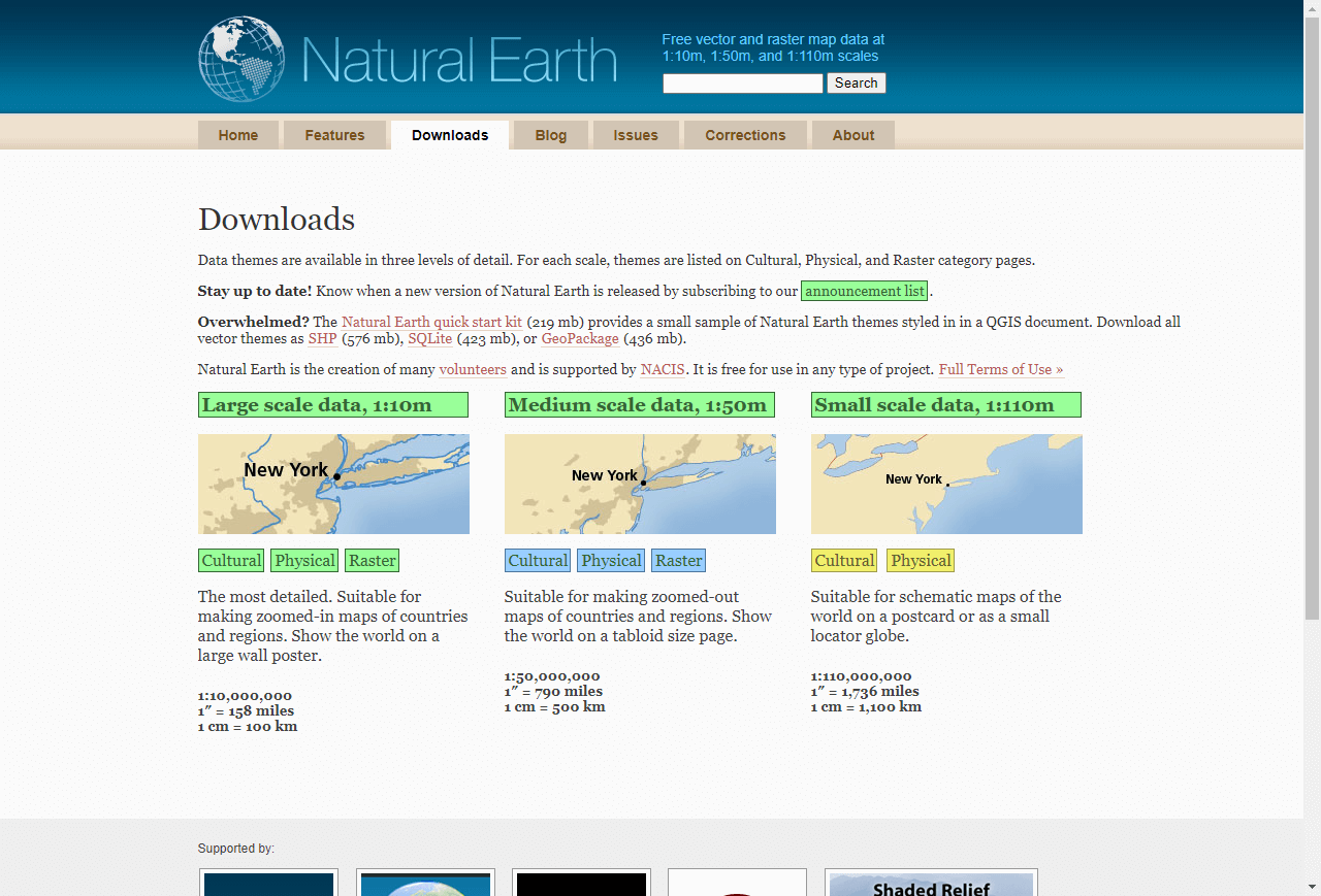
  link: http://www.naturalearthdata.com/downloads/
  name: Natural Earth
  desc: Raster and vector data for cultural and physical factors; alternate site for RC2
- img: https://pics.landcover100.com/pics/image/GLOBAL76.png
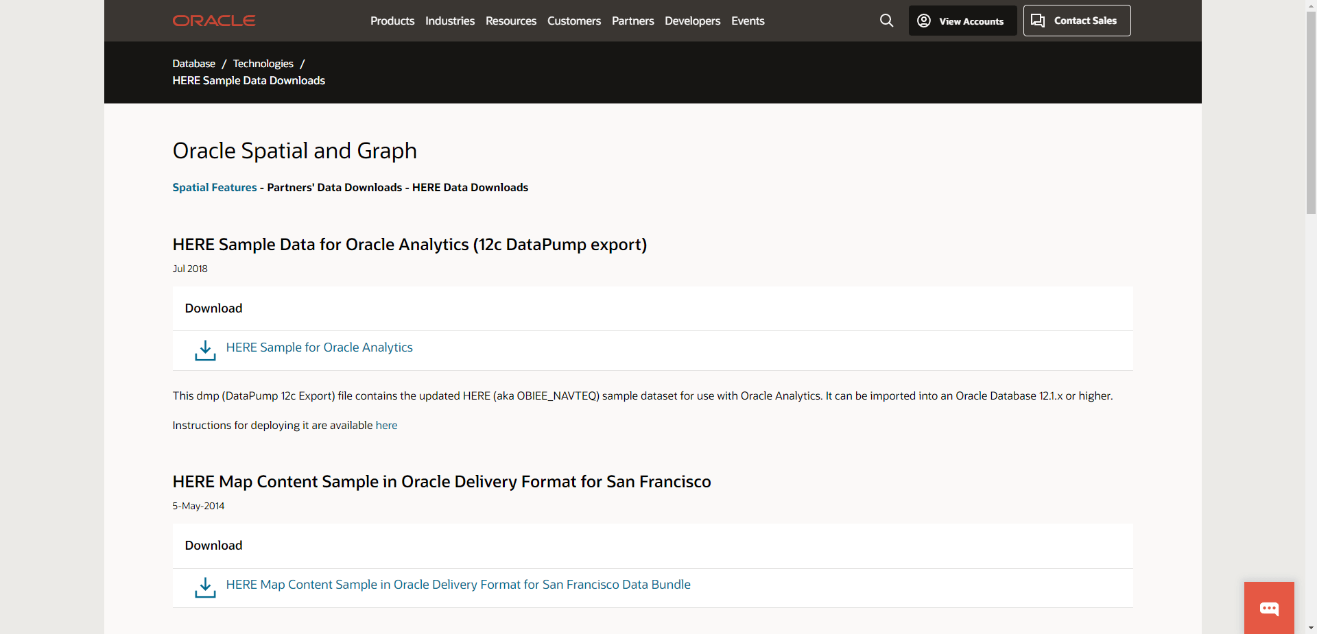
  link: http://www.oracle.com/technetwork/middleware/mapviewer/downloads/navteq-lic-1683
  name: Navteq Data (free sample) September 2010
  desc: National boundaries, administrative boundaries and major highways for 49 countri
  author: Login Required?Yes
- img: https://pics.landcover100.com/pics/image/GLOBAL81.png
  link: http://home.wtal.de/noegs/freemaps.htm
  name: Noch eine GPS-seite
  desc: Garmin GPS maps (in German)
- img: https://pics.landcover100.com/pics/image/GLOBAL83.png
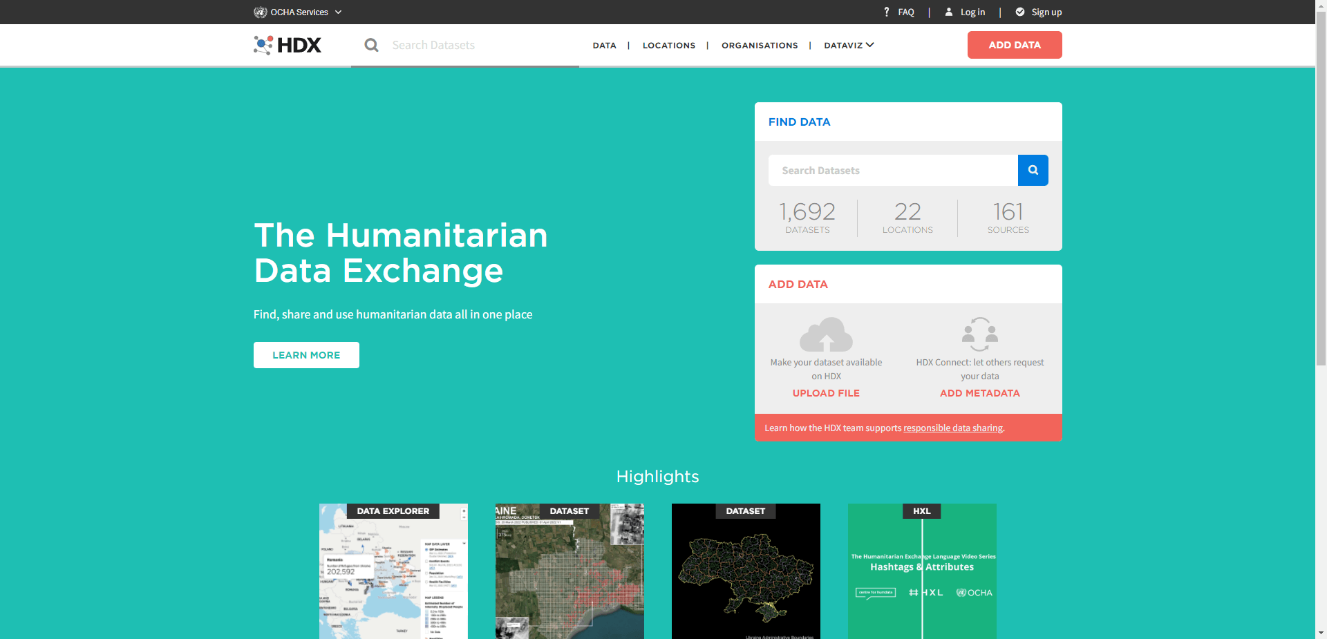
  link: http://cod.humanitarianresponse.info/
  name: OCHA COD
  desc: Mixture of data registry and holdings
- img: https://pics.landcover100.com/pics/image/GLOBAL85.png
  link: http://openstreetmapdata.com/data
  name: OpenStreetMap Data
  desc: OpenStreetMap Data for Land Polygons, Water Polygons, Coastline
- img: https://pics.landcover100.com/pics/image/GLOBAL89.png
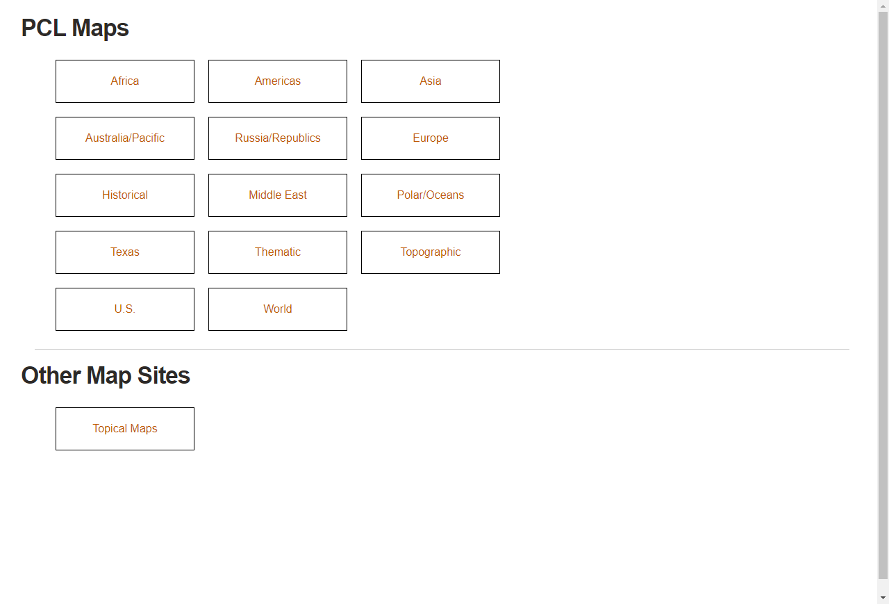
  link: http://www.lib.utexas.edu/maps/
  name: Perry-Casta
- img: https://pics.landcover100.com/pics/image/GLOBAL90.png
  link: http://planet.openstreetmap.org/
  name: Planet OSM
  desc: regularly-updated, complete copies of the OpenStreetMap.org database; see also h
- img: https://pics.landcover100.com/pics/image/GLOBAL92.png
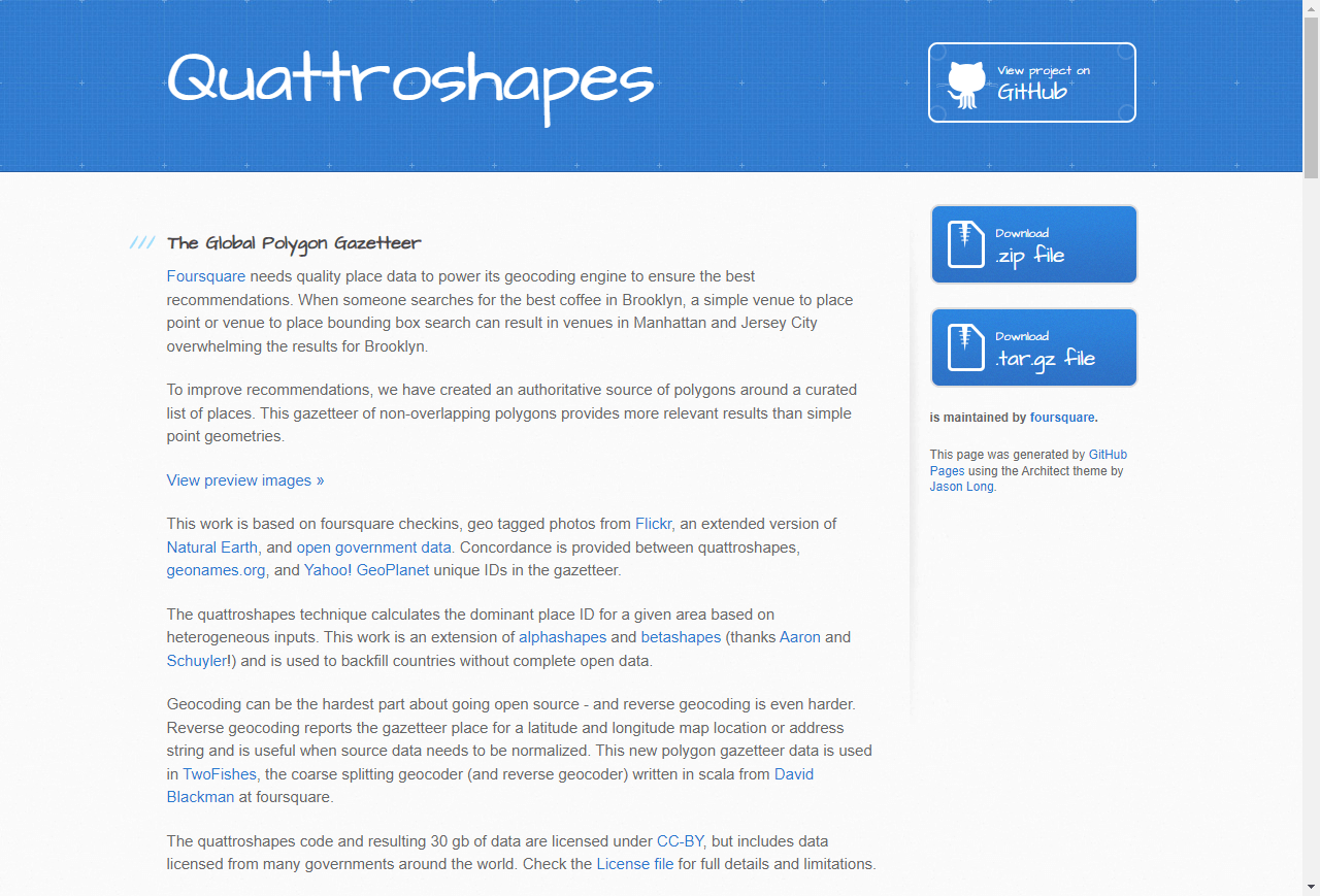
  link: http://quattroshapes.com/
  name: Quattroshapes
  desc: Shapefiles/gazetteer Admin, neighborhood and localites. Mix of sources and cove
- img: https://pics.landcover100.com/pics/image/GLOBAL93.png
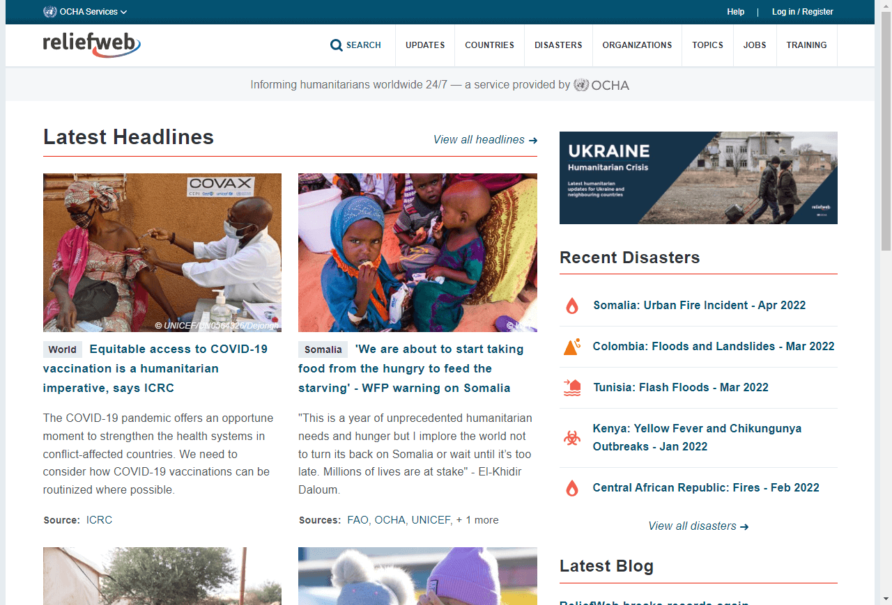
  link: http://reliefweb.int/
  name: ReliefWeb
  desc: Crisis Maps
- img: https://pics.landcover100.com/pics/image/GLOBAL94.png
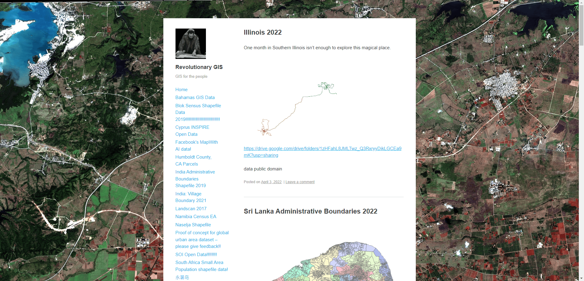
  link: https://revolutionarygis.wordpress.com
  name: Revolutionary GIS
  desc: More of a registry,
- img: https://pics.landcover100.com/pics/image/GLOBAL95.png
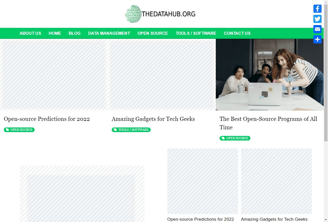
  link: http://thedatahub.org
  name: The Data Hub
  desc: Built on and sponsored by CKAN; includes linked data
  author: Login Required?Yes, for some datasets
- img: https://pics.landcover100.com/pics/image/GLOBAL97.png
  link: http://www.unearthedoutdoors.net/global_data/true_marble/download
  name: True Marble global dataset
  desc: 250m; requires copyright and link display with image
- img: https://pics.landcover100.com/pics/image/GLOBAL98.png
  link: http://www.un.org/depts/dhl/maplib/maplib.htm
  name: UN Dag Hammarskjold Library Map Library
  desc: UN-DPKO Maps
- img: https://pics.landcover100.com/pics/image/GLOBAL99.png
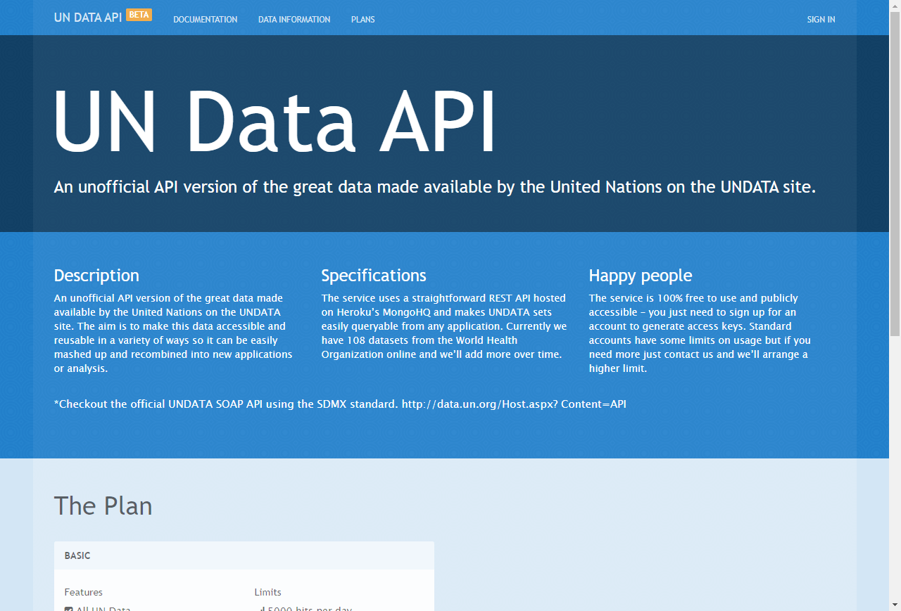
  link: http://www.undata-api.org/
  name: UN Data API Project
  desc: REST API of data from UNDATA site (http://data.un.org/)
- img: https://pics.landcover100.com/pics/image/GLOBAL103.png
  link: http://geodata.grid.unep.ch/
  name: UNEP Global Environment Outlook Data Portal
  desc: covers themes such as Freshwater, Population, Forests, Emissions, Climate, Disas
- img: https://pics.landcover100.com/pics/image/GLOBAL104.png
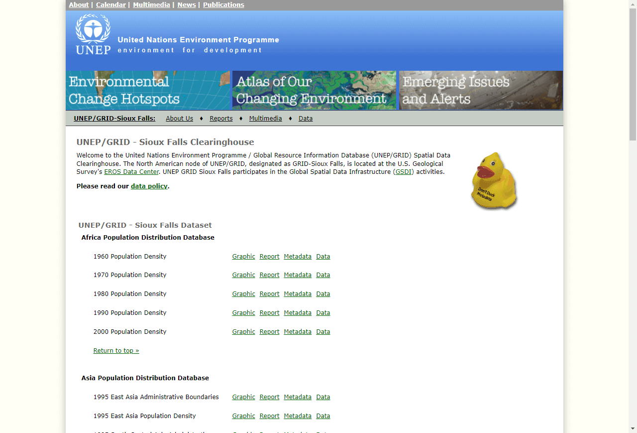
  link: http://na.unep.net/siouxfalls/datasets/datalist.php
  name: UNEP-GRID Global Data
  desc: Population, admin boundaries, soil, vegetation
- img: https://pics.landcover100.com/pics/image/GLOBAL105.png
  link: http://preview.grid.unep.ch/index.php?preview=home&lang=eng
  name: UNEP-GRID Global Risk Data Platform
  desc: Includes OGC services, downloadable data and custom extract function
- img: https://pics.landcover100.com/pics/image/GLOBAL106.png
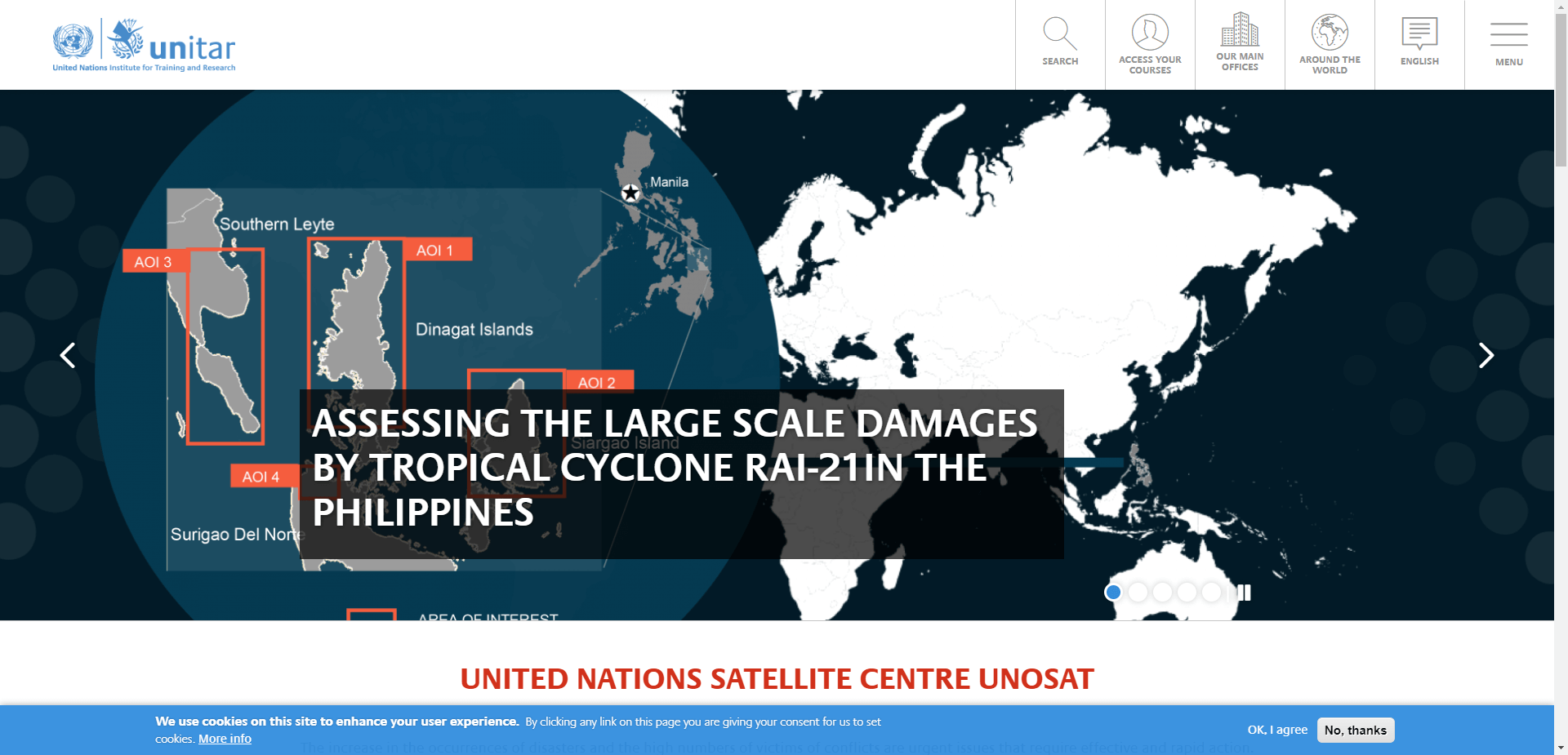
  link: http://www.unitar.org/unosat
  name: UNITAR/UNOSAT
  desc: Geodatabases, maps, web-services on natural disasters, conflicts, baseline data
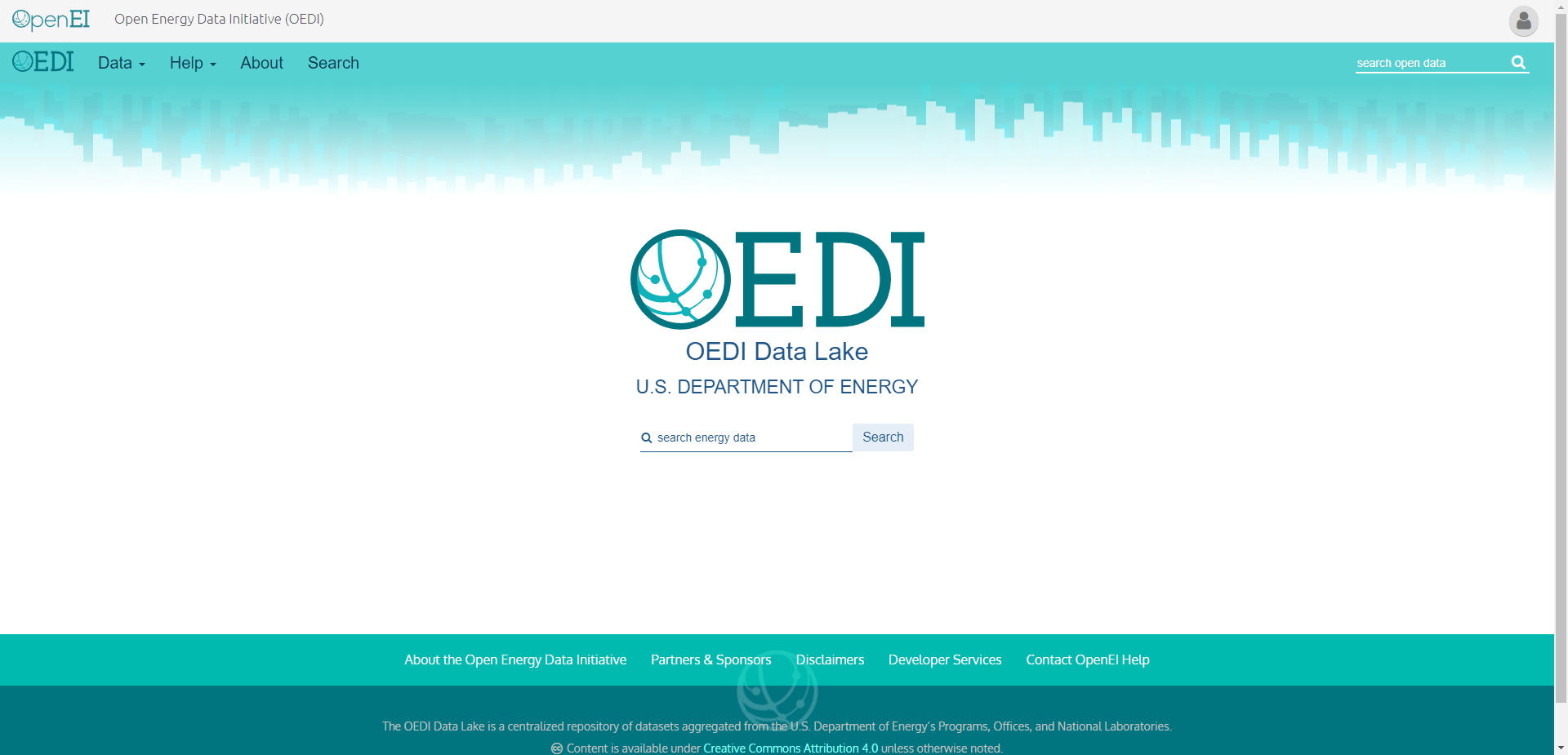
- img: https://pics.landcover100.com/pics/image/GLOBAL110.png
  link: http://en.openei.org/datasets/node/309
  name: USGS Energy Resources Program World Petroleum Assessment (2000)
  desc:  see also http://en.openei.org/datasets/node/306 and http://energy.usgs.gov/OilG
- img: https://pics.landcover100.com/pics/image/GLOBAL111.png
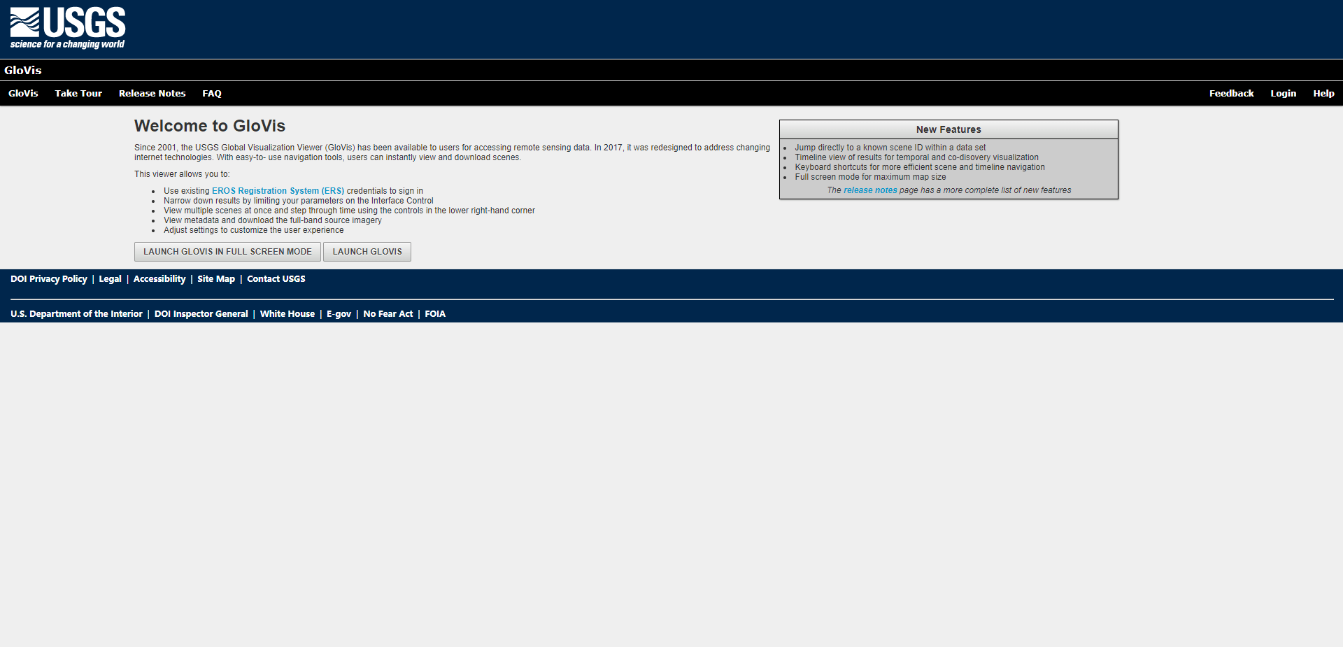
  link: http://glovis.usgs.gov/
  name: USGS Global Visualization Viewer
  desc: Download various formats of imagery for selected areas of the globe.
- img: https://pics.landcover100.com/pics/image/GLOBAL112.png
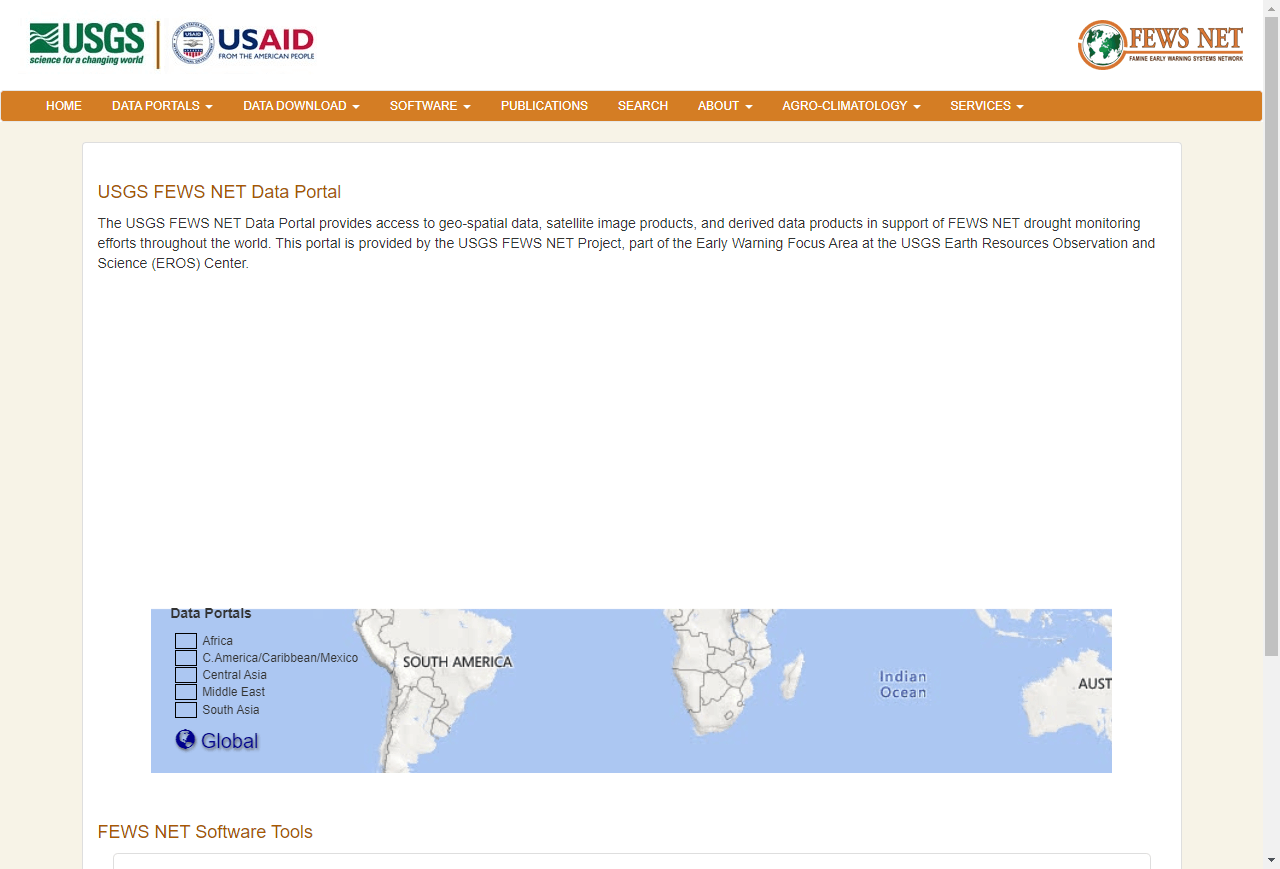
  link: http://earlywarning.usgs.gov/fews/
  name: USGS/USAID FEWS NET Data Portal
  desc: See also http://www.fews.net/Pages/default.aspx
- img: https://pics.landcover100.com/pics/image/GLOBAL114.png
  link: http://www.vdstech.com/map_data_world.htm
  name: VMAP-0 via VDS Technologies
  desc: NODATA
- img: https://pics.landcover100.com/pics/image/GLOBAL115.png
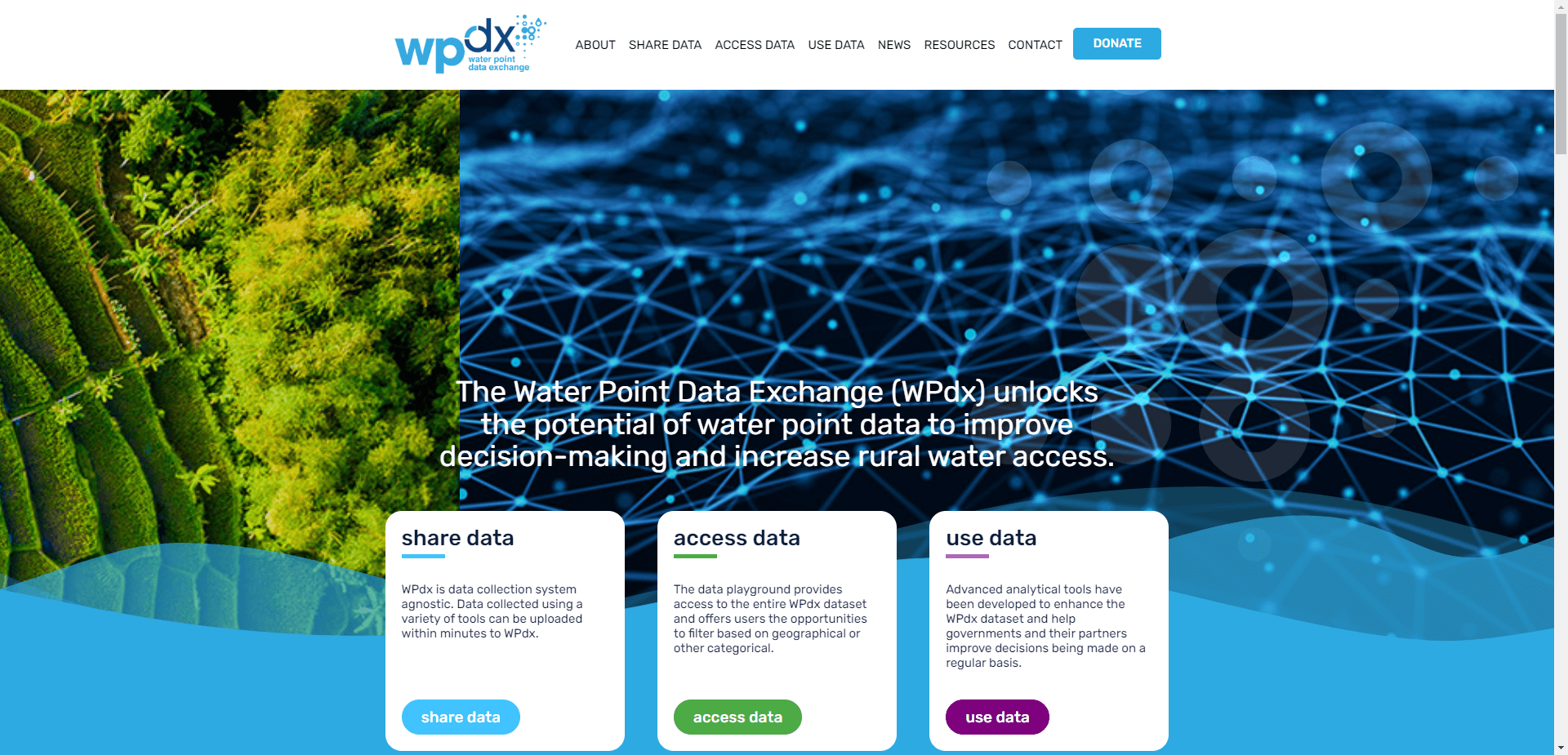
  link: https://www.waterpointdata.org
  name: Water Point Data Exchange
  desc: Downloadable water point data by country as CSV
- img: https://pics.landcover100.com/pics/image/GLOBAL116.png
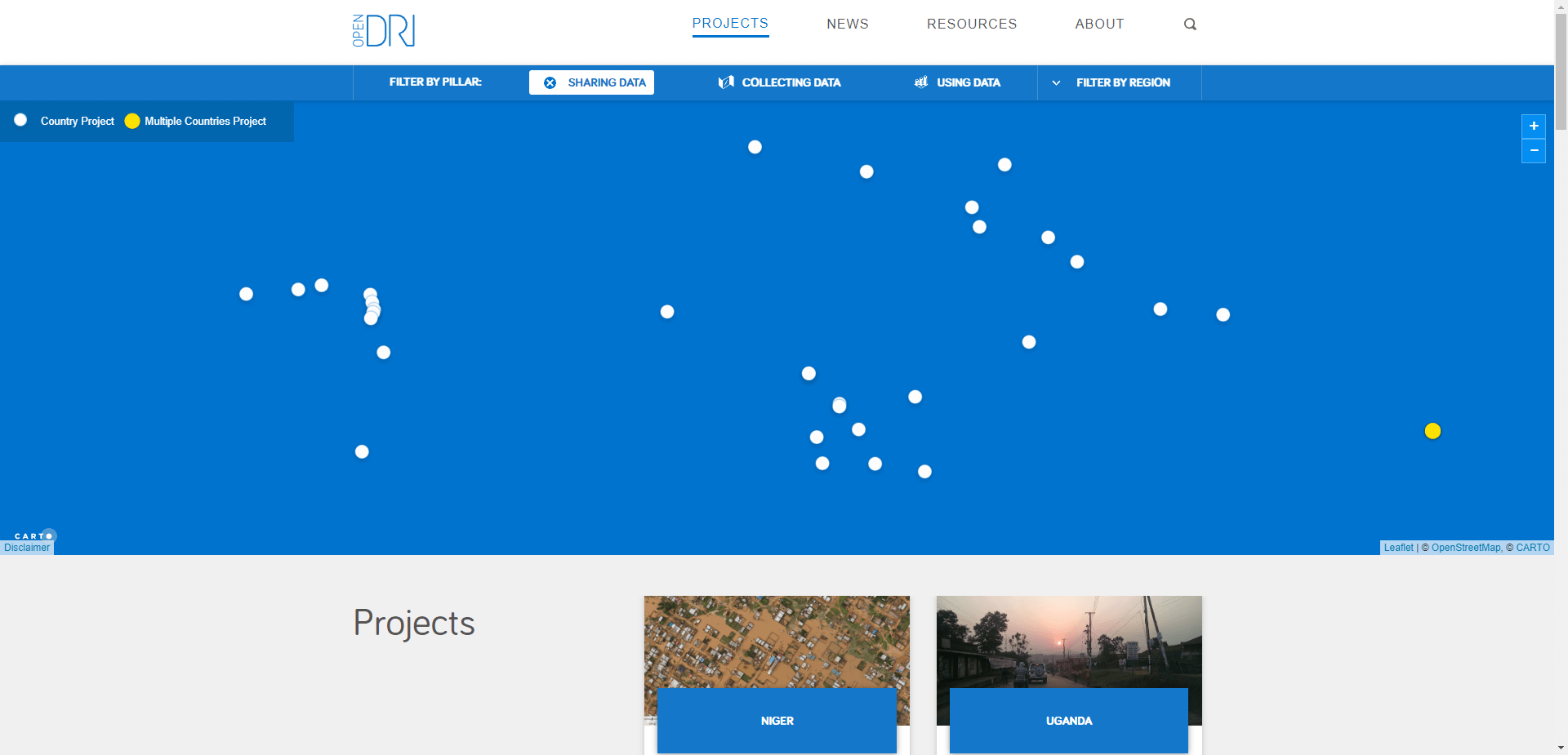
  link: https://opendri.org/project/?mapregion=&mappilar=open
  name: WB funded OpenDRI portals
  desc: Geonode instances
- img: https://pics.landcover100.com/pics/image/GLOBAL121.png
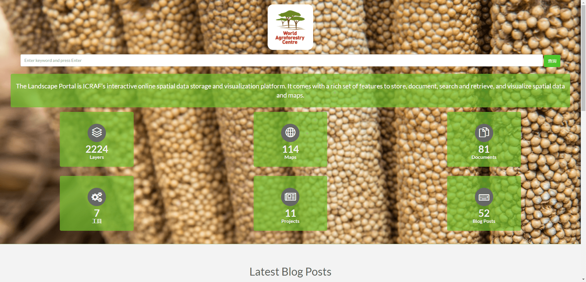
  link: http://landscapeportal.org/
  name: World Agroforestry Centre (ICRAF) Landscape Portal
  desc: Mostly environmental focused but also transport, boundary and other humanitarian
- img: https://pics.landcover100.com/pics/image/GLOBAL123.png
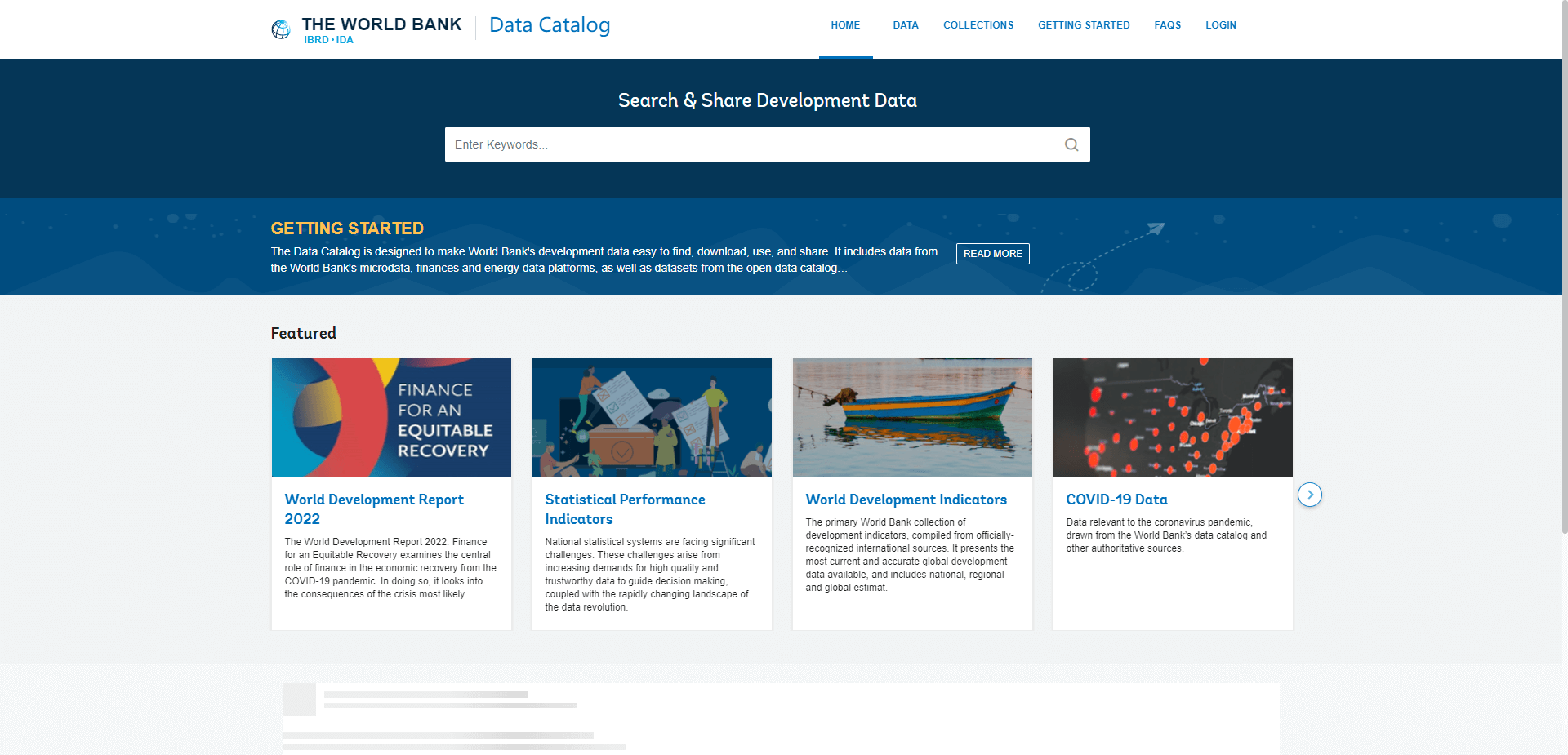
  link: http://data.worldbank.org/data-catalog
  name: World Bank Data Catalog
  desc: Primarily development indicators and statistics, Non-Spatial Data
- img: https://pics.landcover100.com/pics/image/GLOBAL124.png
  link: https://wagda.lib.washington.edu/Layers/World/wagda.WORLD_cities.lyr
  name: World Cities - Points
  desc: University of Washington Libraries World Vector Data; Base datasets for the Worl
- img: https://pics.landcover100.com/pics/image/GLOBAL125.png
  link: https://wagda.lib.washington.edu/Layers/World/wagda.WORLD_cntry06.lyr
  name: World Countries
- img: https://pics.landcover100.com/pics/image/GLOBAL126.png
  link: https://wagda.lib.washington.edu/Layers/World/wagda.WORLD_admin.lyr
  name: World Countries Administrative Divisions
- img: https://pics.landcover100.com/pics/image/GLOBAL127.png
  link: http://www.worldriskreport.org/
  name: World Risk Report
  desc: 2012 Not online as of 25 June 2012; 2011 report available here http://www.weltri
- img: https://pics.landcover100.com/pics/image/GLOBAL128.png
  link: https://wagda.lib.washington.edu/Layers/World/wagda.WORLD_rivers.lyr
  name: World Rivers
- img: https://pics.landcover100.com/pics/image/GLOBAL129.png
  link: https://wagda.lib.washington.edu/Layers/World/wagda.WORLD_timezone.lyr
  name: World Time Zones
- img: http://pics.landcover100.com/pics///62569c9c85410.jpg
  link: https://wagda.lib.washington.edu/Layers/World/wagda.WORLD_utmzone.lyr
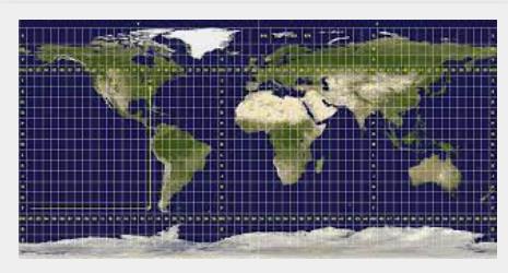
  name: World UTM Zones
- img: http://pics.landcover100.com/pics///62569c0c91815.jpg
  link: http://worldmap.harvard.edu
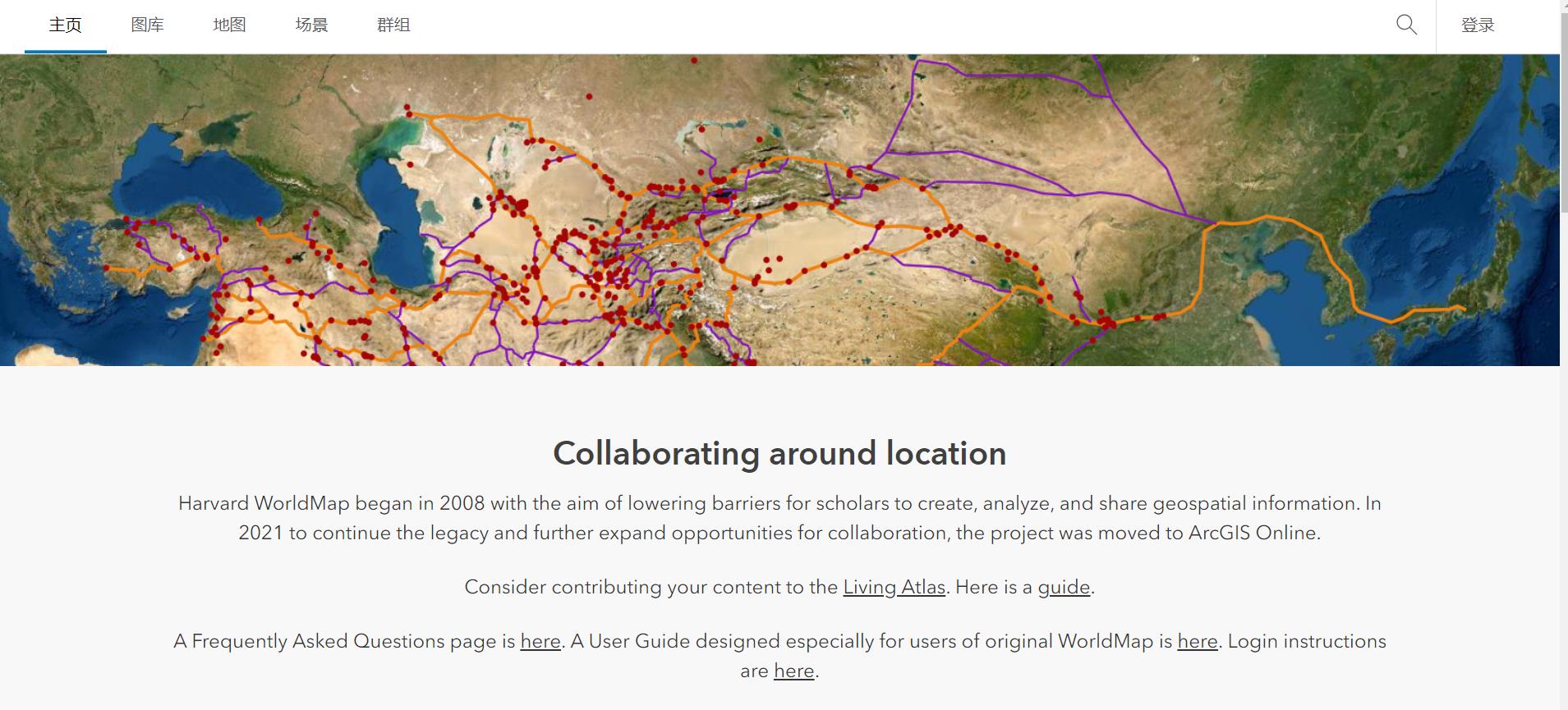
  name: WorldMap at Harvard
  desc: Collaborative mapping platform with a growing collection of maps of all kinds fo
- img: https://pics.landcover100.com/pics/image/GLOBAL133.png
  link: http://www.worldmapper.org/index.html
  name: Worldmapper
  desc: Data available as tables; range of map themes transport, services, resources, h
- img: https://pics.landcover100.com/pics/image/GLOBAL134.png
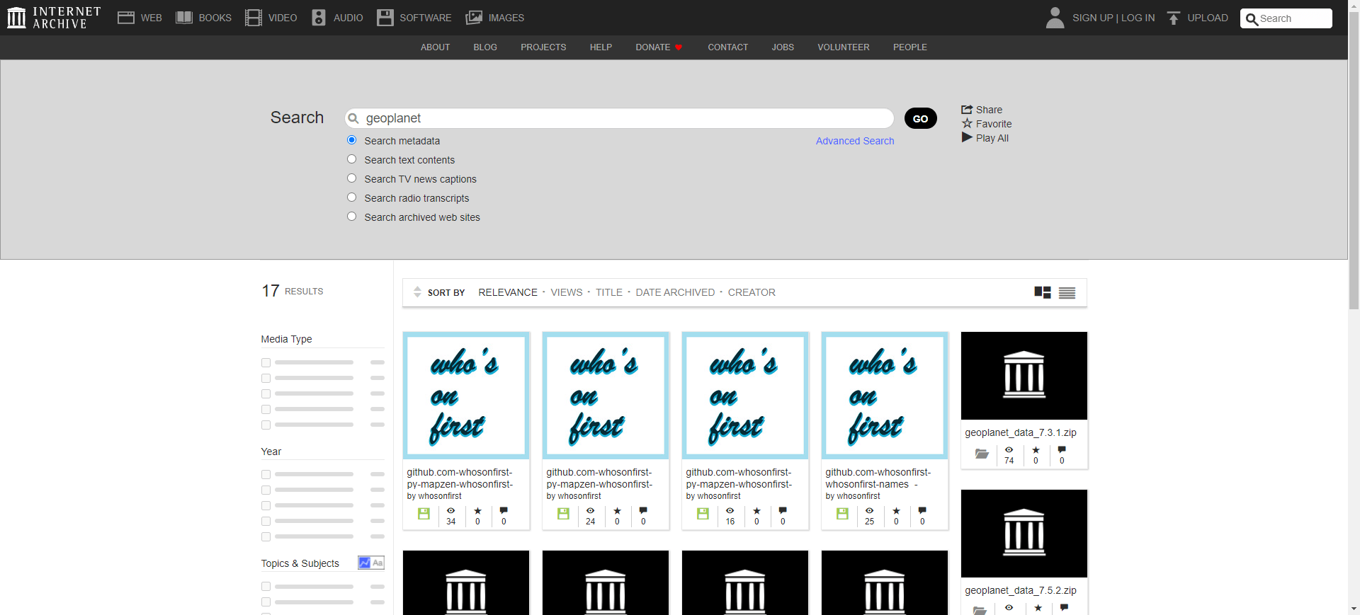
  link: http://archive.org/search.php?query=geoplanet
  name: Yahoo GeoPlanet Data
  desc: CC BY 3.0; Used to be part of the Where on Earth Identifier (WOEID)
导航表格 有一些网站是没有加载出来的,就没有做成贴片。更详细的信息见下表:
| Name | Web Address | Notes |
|---|---|---|
| AIDDATA from William and Mary | http://aiddata.org/ | Mostly aid data including location of development and research projects; GeoQuery tool (http://geo.aiddata.org) has clip and ship function for wide range of datasets (imagery, conflict, population, mortality, natural resources and environmental data, Afrobarometer) |
| Alexandria Global Digital LIbrary at UC Santa Barbara | http://www.alexandria.ucsb.edu/ (opens new window) | |
| Amazon Web Services Public Geographic Data Sets | http://aws.amazon.com/datasets/Geographic?browse=1 | Open Street Map, US Streets and Addresses |
| American Red Cross Map Services and Data Catalog | http://maps.redcross.org/website/Services/ARC_Services.html | Mostly US but also links to some international data and services; see also their Tropical Hazard Center http://maps.redcross.org/website/Tropical/ARC_Tropical_Links.html |
| ArcGIS Online | http://www.arcgis.com/home/ | Get a local copy of data through Data Appliance, DataDoors, or Map Packages |
| Army Geospatial Center, US Army Corps of Engineers | http://www.agc.army.mil/Home/LearnAboutAGC.aspx | I should parse these for downloadable data |
| Awesome World | https://github.com/planetopendata/awesome-world | A collection of awesome world (countries, cities, codes, latitude/longitude, flags, languages, etc.) datasets; tabular data package |
| Baruch Geoportal (CUNY) | http://www.baruch.cuny.edu/geoportal/data/ | Mostly US but also UofMichigans China data and ESRI International Data including WWF Maritime areas and Territories, generalized admin0 boundaries, regions, and more. |
| BIOPAMA Geonode Repository (part of BIOPAMA Reference Information System) | http://geonode-rris.jrc.ec.europa.eu/layers/?limit=100&offset=0 | Collection of data from regional observatories: West and Central Africa (no website) Eastern and Southern Africa (http://eac-rris.biopama.org/) Caribbean (http://caribbean-rris.biopama.org/) Pacific Islands (https://www.sprep.org/) |
| Branner Earth Sciences Library/Stanford Geospatial Center | https://library.stanford.edu/research/stanford-geospatial-center/data | Human and physical geography data |
| CEOS International Directory Network | http://idn.ceos.org/ | Mostly earth sicience data but has list of portals classified by host agency type with links to other datasets (see http://idn.ceos.org/portals/Keywords.do?Portal=idn_ceos&KeywordPath=DataCenters&MetadataType=0&lbnode=mdlb1) |
| CGIAR Global Data | http://www.cgiar-csi.org/data | Climate, aridity, elevation, soil moisture |
| CGIAR-CSI GeoNetwork | http://geonetwork.csi.cgiar.org/geonetwork/srv/en/main.home | |
| CIA World DataBank II | http://www.evl.uic.edu/pape/data/WDB/ | collection of world map data, consisting of vector descriptions of land outlines, rivers, and political boundaries. Created by the U.S. government in 1986. GPX version: http://www.ces.clemson.edu/~sadam/gpx |
| CIAT GeoNetwork | http://gisweb.ciat.cgiar.org:8080/geonetwork/srv/en/main.home | Primarly environmental focus but some cross over to humanitarian |
| CloudMade | http://downloads.cloudmade.com/ | Downloadable Open Street Map data; As of May 2014 the Cloudmade API (Tiles, Geocoding and Routing services) is only available enterprise users (10,000,000 or more transactions per month) and I don't see any download mechanisms |
| Copernicus Emergency Management Service (previously GMES) | http://emergency.copernicus.eu/mapping/copernicus-emergency-management-service#zoom=2&lat=37.17407&lon=69.65&layers=T00000B0 | Mix of mapping app, some downloadable data (vector and image), GE Service and GeoRSS feeds |
| Crisis Mapping Deployments | https://docs.google.com/spreadsheet/ccc?authkey=CMTsxqsP&key=0Am3aiDauTC9ndHFOdGxsM2lnTUJXUDR3LVVIZjJnUGc&authkey=CMTsxqsP#gid=0 | Compilation of Crisis Mappers deployments; has link to Stand By Task Force deployments list only be visible to SBTF team members |
| Data Hub`` | https://datahub.io (opens new window) | Range of spatial and non-spatial open data (has option for private data) |
| Data Portals | http://dataportals.org/ | Previously datacatalogs.org; Catalog of catalogues - all open data but not necessarily geospatial. A CKAN initiative. Look under "groups" for user specified tags for country or regions (eg. Africa), themes (eg. Finance). |
| Data Portals (as Google spreadsheet) | https://docs.google.com/spreadsheets/d/16fM8o7CpgEDmz-QrS6wriU7_EXV-A4DfBqo1P_XWvVM/edit#gid=171542048 | |
| Data Portals (as json dump) | http://dataportals.org/api/data.json | |
| data.NASA at open.NASA | http://data.nasa.gov/ | Includes links to SRTM, Landsat 7, Landsat 2000 terrain, hydrology and many, many more |
| data.world | https://data.world/search?q= | sample admin boundary search: https://data.world/search?q=administrative+boundary; can also use predefined tags like: https://data.world/datasets/populated-places |
| DCW (Digital Chart of the World) and VMAP0 | http://www.manifold.net/updates/data_downloads.shtml | Manifold format |
| DIVA-GIS | http://www.diva-gis.org/gdata | |
| ENC Charts | http://www.primar.no/PRIMAR+CD+Service+Base.d25-SwtzW4T.ips | covers Iceland, Norway, Denmark, Estonia, Finland, Germany, Latvia, Poland, Sweden, Bahrain, Belgium, Croatia, France, Greece, Italy, Netherlands, Portugal, Russia, Spain, South Africa, Turkey, Ukraine, Argentina, Brazil, Chile, Colombia, Mexico, Peru, Suriname, Uruguay, Australia, India, Japan, Korea, MSS, New Zealand, Pakistan, Sngapore, South China Sea, Canada, UK, USA |
| ESRI Disaster Response Global Incident Viewer | http://www.esri.com/services/disaster-response/index.html | Also has GIS Aids Disaster Relief |
| ESRI Living Atlas of the World | http://doc.arcgis.com/en/living-atlas/about/ | Online services |
| EuroGeoss | http://www.eurogeoss-broker.eu/ | Federated search engine |
| FAO GeoNetwork | http://www.fao.org/geonetwork | |
| FieldPapers (From Stamen Design) | http://fieldpapers.org/ | Use to print an atlas of rendered maps of OSM data, mark up, take a picture and upload back to field papers. Uploads are automatically georeferenced (using QR code of original print) and you can use as basemap to update OSM |
| Free GIS Datasets | http://freegisdata.rtwilson.com/ | List of RS/GIS data sources compiled by Robin Wilson – a PhD student at the University of Southampton |
| Freegisdata.org (opens new window) | http://freegisdata.org/place/ | looks like links to web services, searchable by administrative unit name |
| Gaihōzu: Japanese Military and Imperial Maps (Stanford University) aka "maps of outer lands" | http://stanford.maps.arcgis.com/apps/PublicGallery/index.html?appid=1ed3022fc7884690a2f137bce9dfe4fe | Maps (toposheets) produced starting 1868 and the end of World War II by the former Japanese Army (various scales); see also https://earthworks.stanford.edu/catalog/stanford-vj008bs4183 to download shapefile of index |
| Geobis | http://www.geobis.com/mdi_eng_opt.htm | Maps and Socio Geo Demographics |
| Geocommons | http://geocommons.com/ | Open data federation via OpenSearch and Atom. Download in KML, CSV, Atom, SQLite, Shapefile, PNG, PDF. GeoIQ Appliance and VM for local or offline support. |
| GeoCommunity/GIS Data Depot | http://data.geocomm.com/ | |
| GeoData@Berkeley | http://gis.lib.berkeley.edu:8080/openGeoPortalHome.jsp | |
| GeoData@Tufts | http://geodata.tufts.edu/ | |
| Geolode | http://geolode.org/preview/ | Includes documents, tooos and services in addition to data links - choose type to sort by resource type. Queries like "http://geolode.org/preview/?q=elevation" will return multiple resource types associated with elevation. |
| GeoPostcodes | http://www.geopostcodes.com (opens new window) | Zip codes and Postal codes of the World, database with region, city, zip code, latitude & longitude information; database availble for purchase; zipscodes, locality, lat/lon viewable in website |
| Gfk GeoMarketing Digital maps | http://www.gfk-geomarketing.de/en/digital_maps/softwarespecific_maps/maps_for_oracle_spatial.html | Digital maps for more than 240 countries, including postcodes, administrative maps and topographic features such as streets and bodies of water. Seemless across country boundaries. |
| GIS-based Index to World Topo Maps (Colorado School of Mines) | http://tinyurl.com/ksnep8e (or http://csmgis.maps.arcgis.com/apps/OnePane/basicviewer/index.html?appid=a78c3bcfabe1497dba55185fb517f5ca) | Index (footprints) of scanned copies of paper, toposheets from different institutions at scales from 1:50,000 to 1:125,000, with links to the sheets housed at home institutions; link is web services; also available through clearinghouse here: http://csmgis.maps.arcgis.com/apps/PublicGallery/index.html?appid=044815b03f4c4e86bfb9f0d7ca0de44a&group=427f021a56f9449dbba24fbb4b915f55 |
| Global Change Master Directory | http://gcmd.gsfc.nasa.gov/ | Agriculture, Atmoshphere, biology, etc. |
| Global Distribution of Poverty | http://sedac.ciesin.columbia.edu/povmap/ds_info.jsp | Poverty and food security |
| Global Environment Monitoring System | http://www.gemstat.org/ | Water Science Data |
| Global Forest Watch | http://www.globalforestwatch.org/ (opens new window) | |
| Global Land Cover Characteristics (GLCC) database | https://lpdaac.usgs.gov/get_data | Landcover |
| Global Mapping of Emergency Stockpiles | http://humanitarianinfo.org/Stockmap/Client/ItemsSearch/Search.aspx?t=97b3BJPhyITFISFdPeA5YVEmztvIc/yTfQPh75PdHWw= | |
| GoGeo | http://www.gogeo.ac.uk/geonetwork/srv/en/main.home | Click on "international" to get data list - few download links. Pretty random collection |
| Google Public Data Directory | https://www.google.com/publicdata/directory | |
| GPS Map Resources List | http://www.gpspassion.com/upload/world_gps_map_database.xls | |
| GRIP Global Datasets Catalogue | http://www.gripweb.org/gripweb/?q=global-datasets-catalogue | Regional and global demographics, geophysical and economic information, and development indicators; this looks more like a registry (a list of locations of datasets) rather than a repository (it doesn't look like GRIPWEB hosts the data they describe) |
| Group on Earh Observations (GEO) Portal | http://www.geoportal.org/web/guest/geo_home | |
| Harvard Geospatial Library | http://calvert.hul.harvard.edu:8080/opengeoportal/ | |
| HOT Export Task Manager | http://export.hotosm.org/ | |
| Humanitarian Information Unit | https://hiu.state.gov/Pages/Home.aspx | PDF Maps; see https://hiu.state.gov/data/data.aspx for downloadable data. Their TileStream account has downloadable data as well. |
| ICSU World Data System | http://www.icsu-wds.org/services/data-portal | Portal is in beta release |
| International Map of the World/Millionth Map | http://petercon.freeshell.org/imw/ | Scanned sheets, downloadable as Ozi Explorer MAP files 1:1,000,000 |
| International Open Government Dataset Catalog (IOGDS) | https://logd.tw.rpi.edu/demo/international_dataset_catalog_search | LOD - if the interface doesnt work try the archive: http://web.archive.org/web/20140815054106/http://logd.tw.rpi.edu/node/9903 |
| International Steering Comittee for Global Mapping | http://www.iscgm.org/cgi-bin/fswiki/wiki.cgi | |
| IPUMS Terra | https://data.terrapop.org/ | integrates world population and environmental data: Population censuses and surveys; Land cover data, Temperature, precipitation, and related climate data, Land use data derived from censuses and surveys in combination with remotely sensed data |
| Koordinates | https://koordinates.com/ | upload and download in multiple GIS, CAD data formats including Google Earth KML and XML; mostly New Zealand, Canada and USA |
| LandScan Global Population 2000 Database | http://www.ornl.gov/sci/landscan/landscan_data_avail.shtml | Population |
| Library of Congress Contemporary Maps | http://lcweb2.loc.gov/ammem/gmdhtml/mapsSince1960.html | A lot of CIA Mapbook scans |
| Madmappers | http://madmappers.com/ | |
| Map Story | http://mapstory.org/maps/218 | |
| MapCenter1 | http://mapcenter.cgpsmapper.com/catalogue.php | Find and share maps for Garmin GPS receivers; MapCenter2 link appears broken |
| MapCruzin | http://www.mapcruzin.com/ | |
| Mingle.io (opens new window) | https://mingle.io/ | |
| Mining and Critical Ecosystems Downloadable GIS datasets (World Resources Institute) | http://www.wri.org/publication/mining-and-critical-ecosystems/data-sets | Includes ag and urban areas, evaporation, precipitation, mining |
| NASA Datacasting | http://earthdata.nasa.gov/data/nrt-data/datacasting | RSS/GeoRSS update feed for Earth Science Data |
| National Renewable Energy Laboratory (NREL) GeoServer | http://mapservices.nrel.gov/web/ | WFS, WMS, TMS, WMS-C and WMTS enpoints. See http://mapservices.nrel.gov/web/;jsessionid=0A4659F977571648F91CC575E376D0E4?x=dEbe7y-o1QNcnFuL*0MHNTnSzwlnwD-AivOJqAMNDiNt9SbcYJOykjodmzbRCgQH8ZV7SuY4XMs for layer list |
| Natural Earth | http://www.naturalearthdata.com/downloads/ | Raster and vector data for cultural and physical factors; alternate site for RC2 download: http://kelsocartography.com/blog/?p=4246 |
| Navteq Data (free sample) September 2010 | http://www.oracle.com/technetwork/middleware/mapviewer/downloads/navteq-lic-168395.html | National boundaries, administrative boundaries and major highways for 49 countries (mostly European) in Oracle Spatial 10g Release 2 format. Must agree to NAVTEQ Sample Data END-USER TERMS |
| NGA GEOnet Names Server (GNS) | http://earth-info.nga.mil/gns/html/ | See also http://164.214.2.50/ |
| NGA Raster Roam | http://geoengine.nga.mil/geospatial/SW_TOOLS/NIMAMUSE/webinter/rast_roam.html | Access to VMAP, ONC, TPC, DTED and DOI data |
| NGA Web Services (REST catalogue) | http://ngamaps.geointapps.org/arcgis/rest/services | Largely looks like ESRI Map and WMS; some layers in Nepal offered as ESRI feature services for data extraction but I don't see WFS. As of May 2015 included data for: Gabon, Guinea, Ivory Coast, Liberia, Mali, Nepal, Nigeria, Senegal, Sierra Leone, and some regional data for West Africa |
| NGA Web-Based Access and Retreival Portal (WARP) | https://warp.nga.mil/ | Unclassified data but appears to require a government sponsor to get an account |
| Noch eine GPS-seite | http://home.wtal.de/noegs/freemaps.htm | Garmin GPS maps (in German) |
| NYU Spatial Data Repository | https://geo.nyu.edu/ | Mix of locked and open data |
| OCHA COD | http://cod.humanitarianresponse.info/ | Mixture of data registry and holdings |
| OECD | http://www.oecd.org/statsportal/0,2639,en_2825_293564_1_1_1_1_1,00.html | No spatial data |
| OpenStreetMap Data | http://openstreetmapdata.com/data | OpenStreetMap Data for: Land Polygons, Water Polygons, Coastline |
| OpenStreetMap Data via WeoGeo | http://market.weogeo.com/datasets/osm-openstreetmap-planet.html | Users can choose formats and projections from OSM to download-montly updates from parent database (OSM Planet file). May only include primary map features (not necessarily all mapped features). Supported formats: FGDB, KML, DWG, FFS, and CSV (no geo info), SHP and TAB |
| Pacific Disaster Center | http://www.pdc.org/iweb/pdchome.html;jsessionid=EC746071FE1CE052C3F43D710288691A | |
| PBL GeoNetwork | http://geoservice.pbl.nl (opens new window) | webservices on global environmental timeseries |
| Perry-Castañeda Library Map Collection | http://www.lib.utexas.edu/maps/ | Most pdfs that would need to be georeferenced |
| Planet OSM | http://planet.openstreetmap.org/ | regularly-updated, complete copies of the OpenStreetMap.org database; see also http://metro.teczno.com/ for extracts for large cities or http://download.geofabrik.de/osm for other subsets |
| Princeton Digital Map in Geospatial Information Center | http://www.princeton.edu/~geolib/gis/internet.html | |
| Quattroshapes | http://quattroshapes.com/ | Shapefiles/gazetteer: Admin, neighborhood and localites. Mix of sources and coverage; data developed and maintained by Foursquare. CC-BY |
| ReliefWeb | http://reliefweb.int/ | Crisis Maps |
| Revolutionary GIS | https://revolutionarygis.wordpress.com (opens new window) | More of a registry, sometimes a repository. Good sources of international data (India admin boundaries, Poland, Singapore, Maldives, Gabon, Cuba etc.) |
| The Data Hub | http://thedatahub.org (opens new window) | Built on and sponsored by CKAN; includes linked data |
| The MONDIAL Database | http://www.dbis.informatik.uni-goettingen.de/Mondial/ | Geographical database compiled from the CIA World Factbook and other sources. RDF, XML and other formats. |
| True Marble global dataset | http://www.unearthedoutdoors.net/global_data/true_marble/download | 250m; requires copyright and link display with image |
| UN Dag Hammarskjold Library: Map Library | http://www.un.org/depts/dhl/maplib/maplib.htm | UN-DPKO Maps |
| UN Data API Project | http://www.undata-api.org/ | REST API of data from UNDATA site (http://data.un.org/) |
| UN Department of Peacekeeping Operations / Cartographic Section | http://www.un.org/Depts/Cartographic/english/htmain.htm | |
| UN initiative on Global Geospatial Information Management (GGIM) | http://ggim.un.org/ | Homepage with links to other UN Data sources listed elsewhere in this compendium; links to agency websites: http://ggim.un.org/partners.html |
| UNC GIS Data Finder | http://www.lib.unc.edu/reference/gis/datafinder/index.html?search=1&search_type=show_datalayers&keyword_country_territory=&keyword_state=&limit_to_afs=&show_all=1 | |
| UNEP Global Environment Outlook Data Portal | http://geodata.grid.unep.ch/ | covers themes such as Freshwater, Population, Forests, Emissions, Climate, Disasters, Health and GDP; see also http://geodata.rrcap.unep.org/ |
| UNEP-GRID Global Data | http://na.unep.net/siouxfalls/datasets/datalist.php | Population, admin boundaries, soil, vegetation |
| UNEP-GRID Global Risk Data Platform | http://preview.grid.unep.ch/index.php?preview=home&lang=eng | Includes OGC services, downloadable data and custom extract function |
| UNITAR/UNOSAT | http://www.unitar.org/unosat | Geodatabases, maps, web-services on natural disasters, conflicts, baseline data |
| United Nations Entry Point to Geospatial Data Clearinghouse | http://gateway.ungiwg.org (opens new window) | Link not working |
| UNSDI-NCO United Nations Spatial Data Infrastructure | http://geonetwork.nl (opens new window) | Geonetwork portal of the Netherlands Coordination Office for UNSDI |
| US State Deparment Geonode | http://geonode.state.gov/ | |
| USGS Energy Resources Program World Petroleum Assessment (2000) | http://en.openei.org/datasets/node/309 | see also http://en.openei.org/datasets/node/306 and http://energy.usgs.gov/OilGas/AssessmentsData/WorldPetroleumAssessment.aspx |
| USGS Global Visualization Viewer | http://glovis.usgs.gov/ | Download various formats of imagery for selected areas of the globe. |
| USGS/USAID FEWS NET Data Portal | http://earlywarning.usgs.gov/fews/ | See also http://www.fews.net/Pages/default.aspx |
| USSTRATCOM Worldwide Nuclear Sites | http://gapspub.ultra-prologic.com/POIRSS/default.ashx?source=Worldwide_Nuclear_Sites | GeoRSS feed |
| VMAP-0 via VDS Technologies | http://www.vdstech.com/map_data_world.htm | 1:1,000,000 shapfiles |
| Water Point Data Exchange | https://www.waterpointdata.org (opens new window) | Downloadable water point data by country as CSV |
| WB funded OpenDRI portals | https://opendri.org/project/?mapregion=&mappilar=open | Geonode instances |
| WeoGeo | http://www.weogeo.com/ | mix of paid and free datasets – mostly US but growing. Multiple format downloads; also has public API |
| WFP Geonode | http://geonode.wfp.org/ | |
| WFP Log Cluster Geoportal | http://www.logcluster.org/tools/mapcentre/geoportal | To view and utilize publicly available data use the free login (username: public, password: public); alt url: http://geoportal.logcluster.org/datacenter/ |
| WFP-VAM GeoNetwork | http://vam.wfp.org/geonetwork | |
| World Agroforestry Centre (ICRAF) Landscape Portal | http://landscapeportal.org/ | Mostly environmental focused but also transport, boundary and other humanitarian response datasets. See all data set boundaries classified by data theme at http://landscapeportal.org/maps/614/view |
| World Bank API | http://data.worldbank.org/developers | data on 114 key economic indicators from three World Bank databases: World Development Indicators 2008, Worldwide Governance Indicators and Doing Business. |
| World Bank Data Catalog | http://data.worldbank.org/data-catalog | Primarily development indicators and statistics, Non-Spatial Data |
| World Cities - Points | https://wagda.lib.washington.edu/Layers/World/wagda.WORLD_cities.lyr | University of Washington Libraries World Vector Data; Base datasets for the World supplied by ESRI in the Maps and Media package; only available to UW students, faculty, and staff. |
| World Countries | https://wagda.lib.washington.edu/Layers/World/wagda.WORLD_cntry06.lyr | University of Washington Libraries World Vector Data; Base datasets for the World supplied by ESRI in the Maps and Media package; only available to UW students, faculty, and staff. |
| World Countries Administrative Divisions | https://wagda.lib.washington.edu/Layers/World/wagda.WORLD_admin.lyr | University of Washington Libraries World Vector Data; Base datasets for the World supplied by ESRI in the Maps and Media package; only available to UW students, faculty, and staff. |
| World Risk Report | http://www.worldriskreport.org/ | 2012 Not online as of 25 June 2012; 2011 report available here http://www.weltrisikobericht.de/uploads/media/WorldRiskReport-2011_online_EN.pdf |
| World Rivers | https://wagda.lib.washington.edu/Layers/World/wagda.WORLD_rivers.lyr | University of Washington Libraries World Vector Data; Base datasets for the World supplied by ESRI in the Maps and Media package; only available to UW students, faculty, and staff. |
| World Time Zones | https://wagda.lib.washington.edu/Layers/World/wagda.WORLD_timezone.lyr | University of Washington Libraries World Vector Data; Base datasets for the World supplied by ESRI in the Maps and Media package; only available to UW students, faculty, and staff. |
| World Trade Organization | http://stat.wto.org/ | Trade Statistics, Non-spatial Data |
| World UTM Zones | https://wagda.lib.washington.edu/Layers/World/wagda.WORLD_utmzone.lyr | University of Washington Libraries World Vector Data; Base datasets for the World supplied by ESRI in the Maps and Media package; only available to UW students, faculty, and staff. |
| WorldMap at Harvard | http://worldmap.harvard.edu (opens new window) | Collaborative mapping platform with a growing collection of maps of all kinds for viewing or download |
| Worldmapper | http://www.worldmapper.org/index.html | Data available as tables; range of map themes: transport, services, resources, health, education, demographics, etc. |
| Yahoo GeoPlanet Data | http://archive.org/search.php?query=geoplanet | CC BY 3.0; Used to be part of the Where on Earth Identifier (WOEID); Reportedly yahoo is looking at making this a service again; click on links in "View the book" to download the files |
有问题,我来改改 (opens new window)
上次更新: 2022/10/17, 19:07:36


