 Thematic
Thematic
- img: https://pics.landcover100.com/pics/image/THEMATIC2.png
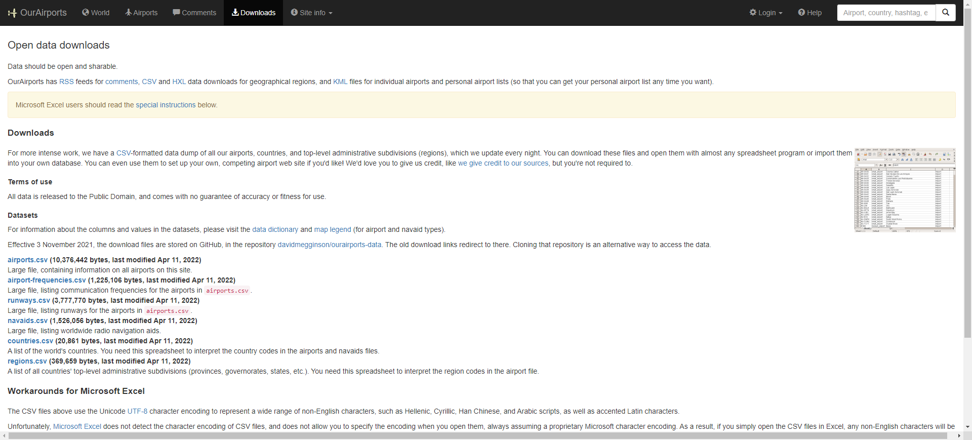
  link: http://www.ourairports.com/data/
  name: Global Airport Data from OurAirports
  desc: AeronauticsKML, CSV, also links to an  rss feed of airport comments (http://www.ou
  author: Login Required?No
- img: https://pics.landcover100.com/pics/image/THEMATIC3.png
  link: http://www.ourairports.com/
  name: Our Airports
  desc: AeronauticsWeb app but also downloadable CSV-formatted data dump (http://www.ourai
- img: https://pics.landcover100.com/pics/image/THEMATIC5.png
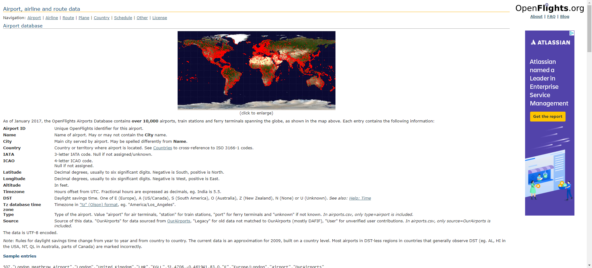
  link: http://openflights.org/data.html
  name: Open Fllights
  desc: AeronauticsGlobal airport, airline and route data
  author: Login Required?No
- img: https://pics.landcover100.com/pics/image/THEMATIC11.png
  link: http://www.airnav.com/
  name: AirNav.com
  desc: AeronauticsAll ports (air, balloon, glider, heli, se and ultalight) browsable by c
  author: Login Required?No
- img: https://pics.landcover100.com/pics/image/THEMATIC14.png
  link: http://www.eurocontrol.int/services/cartography
  name: Eurocontrol maps for European airspace
  desc: AeronauticsThe cartography service provides users with maps of the latest version
  author: Login Required?No
- img: https://pics.landcover100.com/pics/image/THEMATIC21.png
  link: http://www.unsalb.org/
  name: Second Administrative Level Boundaries (SALB)
  desc: Boundaries
  author: Login Required?Yes
- img: https://pics.landcover100.com/pics/image/THEMATIC22.png
  link: http://www.gadm.org/
  name: GADM Database (From The BioGeomancer (BG) Project)
  desc: BoundariesAlternate access point http://www.maplibrary.org/stacks/gadm/index.php
  author: Login Required?No
- img: https://pics.landcover100.com/pics/image/THEMATIC23.png
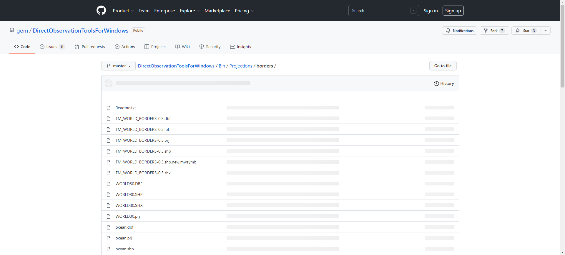
  link: https://github.com/gem/DirectObservationToolsForWindows/tree/master/Bin/Projection
  name: Borders
  desc: BoundariesGlobal admin0 boundaries, oceans and 30 degree grid cells (lat/lon)
  author: Login Required?No
- img: https://pics.landcover100.com/pics/image/THEMATIC24.png
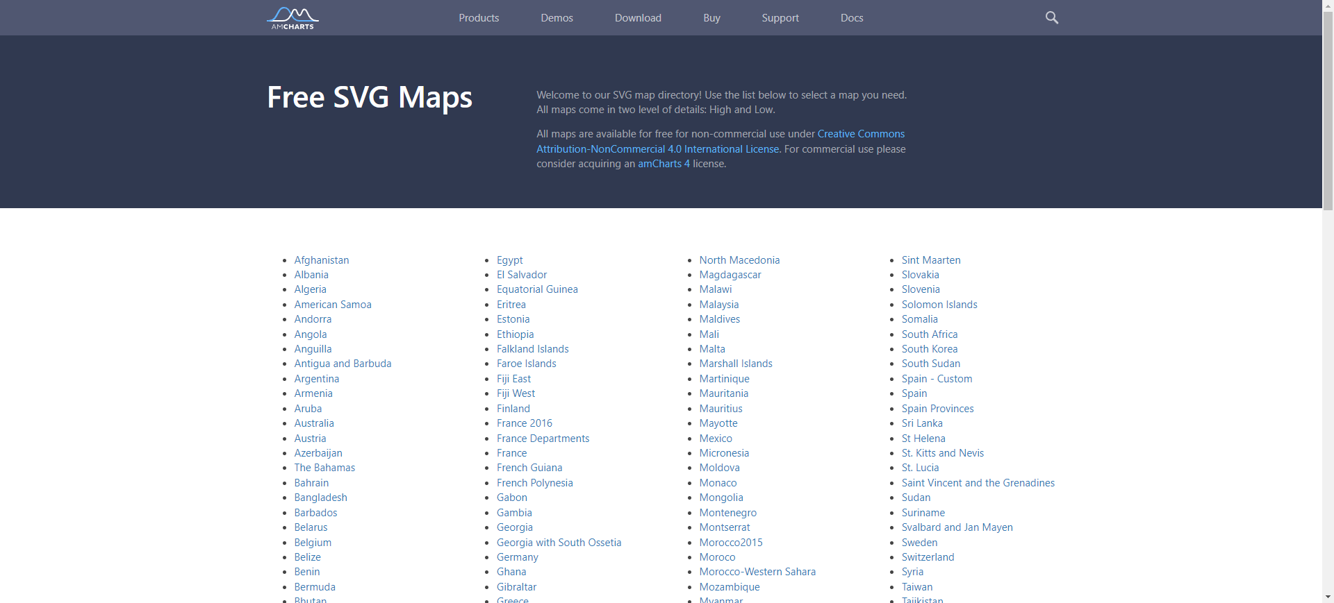
  link: http://www.amcharts.com/svg-maps/
  name: Borders
  desc: BoundariesGlobal admin0 boundaries as SVG CC- BY-NC
  author: Login Required?No
- img: https://pics.landcover100.com/pics/image/THEMATIC25.png
  link: http://www.fao.org/geonetwork/srv/en/metadata.show?id=12691
  name: Global Administrative Unit Layers (GAUL)
  desc: Boundaries
  author: Login Required?No
- img: https://pics.landcover100.com/pics/image/THEMATIC26.png
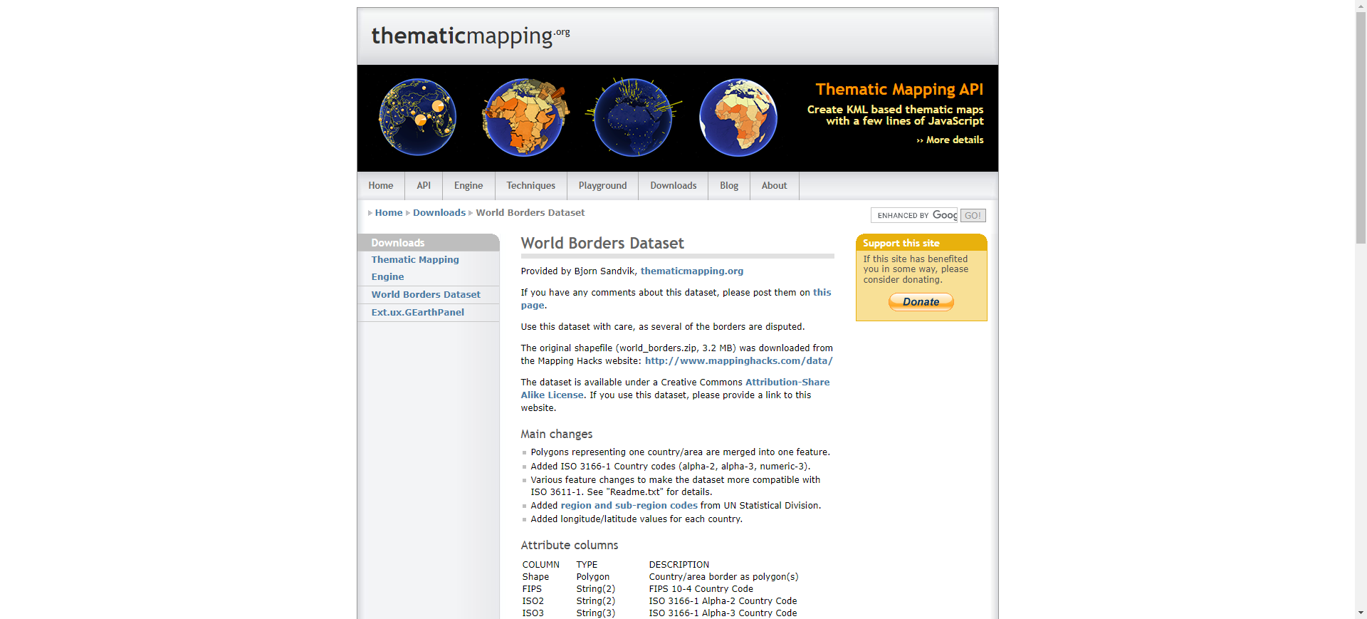
  link: http://thematicmapping.org/downloads/world_borders.php
  name: World Borders Dataset
  desc: Boundaries
  author: Login Required?No
- img: https://pics.landcover100.com/pics/image/THEMATIC33.png
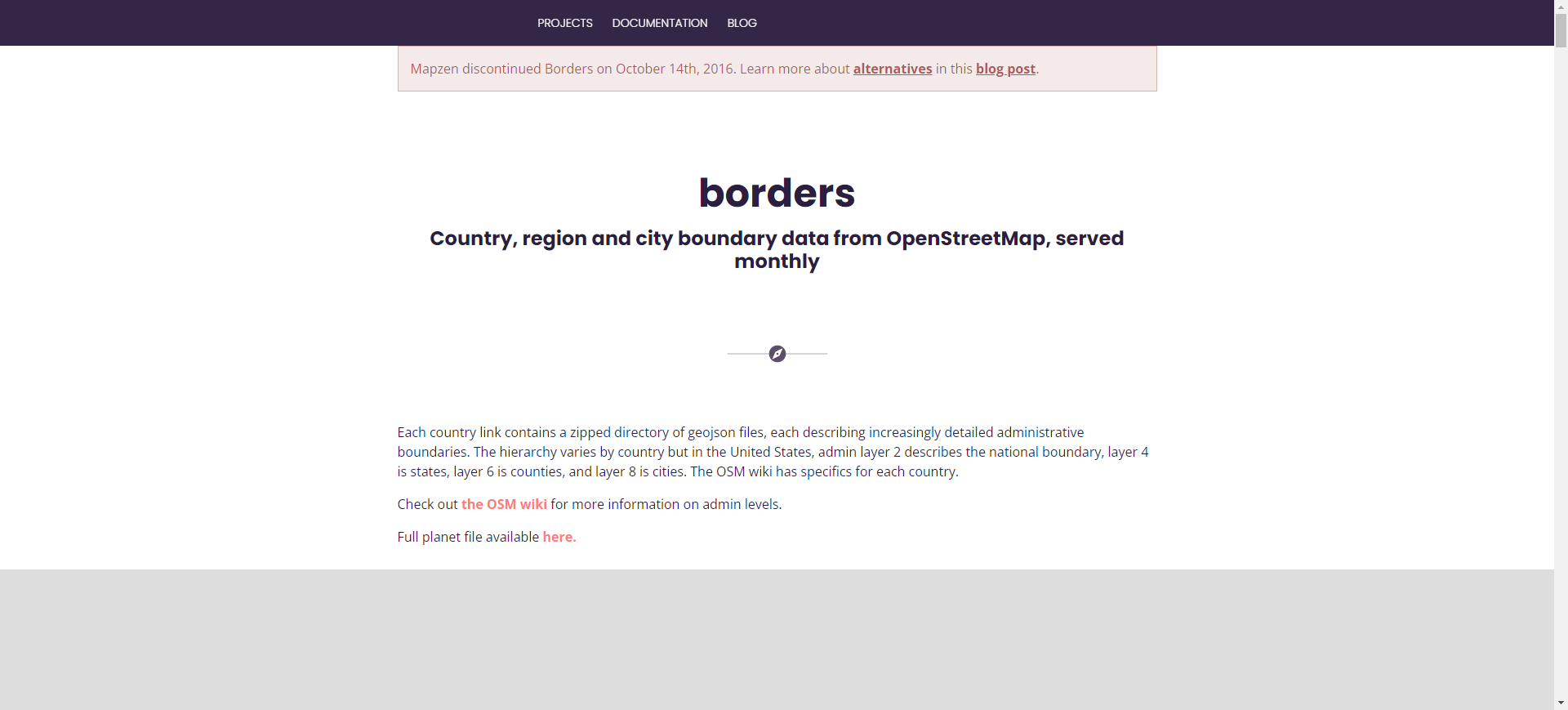
  link: https://mapzen.com/data/borders/
  name: Borders
  desc: BoundariesCountry, region and city boundary data from OpenStreetMap as eoJson (doFull planet file available
  author: Login Required?No
- img: https://pics.landcover100.com/pics/image/THEMATIC34.png
  link: https://osm.wno-edv-service.de/boundaries/
  name: OSM Boundaries 3.7
  desc: BoundariesService allows users to download OpenStreetMap boundary data in shape, j
  author: Login Required?Yes
- img: https://pics.landcover100.com/pics/image/THEMATIC36.png
  link: http://www.electiondataarchive.org/datacenter-gred.html
  name: GeoReferenced Electoral Districts (GRED)
  desc: Boundaries (Electoral Districts)Shapefiles
  author: Login Required?No
- img: https://pics.landcover100.com/pics/image/THEMATIC37.png
  link: http://www.vliz.be/vmdcdata/marbound/index.php
  name: VLIZ Maritime Boundaries Geodatabase
  desc: Boundaries (Maritime)Maritime Boundaries and Exclusive Economic Zones
  author: Login Required?No
- img: https://pics.landcover100.com/pics/image/THEMATIC40.png
  link: http://www.ngdc.noaa.gov/mgg/shorelines/gshhs.html
  name: NOAA Global Self-consistent, Hierarchical, High-resolution Shoreline Database (GSH
  desc: Boundary (Shoreline)
  author: Login Required?No
- img: https://pics.landcover100.com/pics/image/THEMATIC41.png
  link: http://www.evs-islands.com/
  name: EVS-Islands (Enhanced  Vector Shorelines)
  desc: Boundary (Shoreline)Maps may also include building features on some islands
  author: Data available upon request
- img: https://pics.landcover100.com/pics/image/THEMATIC42.png
  link: http://msi.nga.mil/NGAPortal/DNC.portal?_nfpb=true&_pageLabel=dnc_portal_page_72
  name: NGA Prototype Global Shoreline Data (Satellite Derived High Water Line Data)
  desc: Boundary (Shoreline)Shapefiles; it is NOT a Mean High Water Line since the source
  author: Login Required?No
- img: https://pics.landcover100.com/pics/image/THEMATIC44.png
  link: http://www.unicef.org/sowc08/statistics/tables.php
  name: UNICEF State of The World’s Children
  desc: Child Survival
  author: Login Required?No
- img: https://pics.landcover100.com/pics/image/THEMATIC47.png
  link: http://www.wri.org/publication/pilot-analysis-global-ecosystems-forest-ecosystems#
  name: Forest ecosystems
  desc: Forest ResourcesGlobal in Scope
  author: Login Required?No
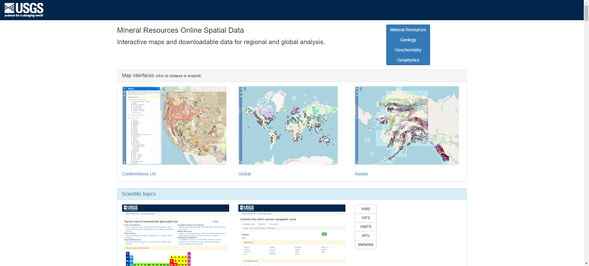
- img: https://pics.landcover100.com/pics/image/THEMATIC49.png
  link: http://mrdata.usgs.gov/
  name: USGS Mineral Resources On-Line Spatial Data
  desc: GeologyMineral Resources, Geological Data, Geochemistry Data, Geophysics Data-Most
  author: Login Required?No
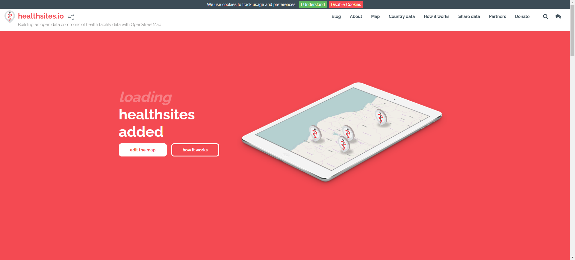
- img: https://pics.landcover100.com/pics/image/THEMATIC50.png
  link: https://healthsites.io/
  name: Health Sites
  desc: Healthbaseline health facility data; downloadable as shapefile from map interface
  author: Login Required?No
- img: https://pics.landcover100.com/pics/image/THEMATIC51.png
  link: http://www.who.int/geonetwork
  name: WHO GeoNetwork
  desc: Health
  author: Login Required?No
- img: https://pics.landcover100.com/pics/image/THEMATIC53.png
  link: http://www.measuredhs.com
  name: Demographic and Health Surveys
  desc: Health
  author: Login Required?Yes
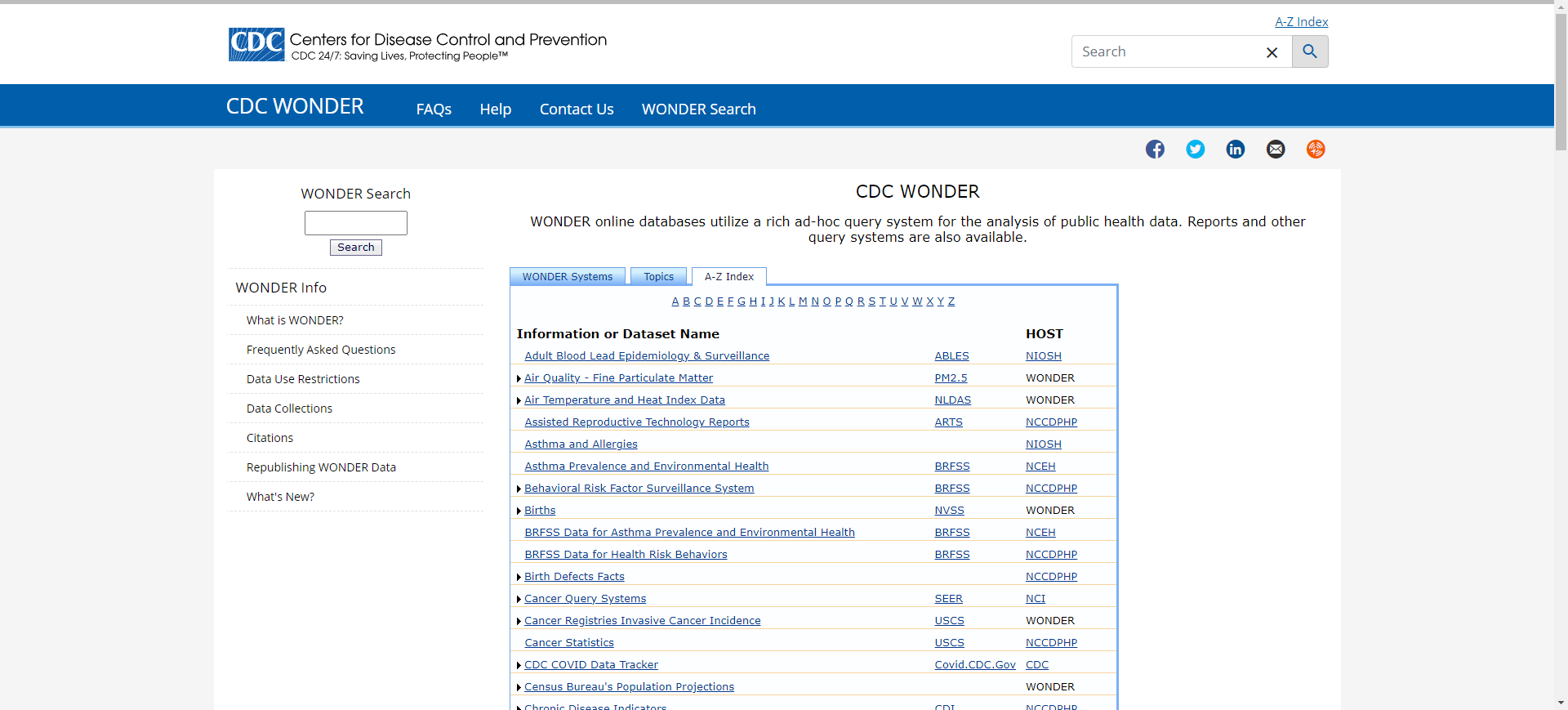
- img: https://pics.landcover100.com/pics/image/THEMATIC55.png
  link: http://wonder.cdc.gov/WelcomeA.html
  name: CDC Wide-ranging Online Data for Epidemiologic Research (WONDER)
  desc: Health
  author: Login Required?No
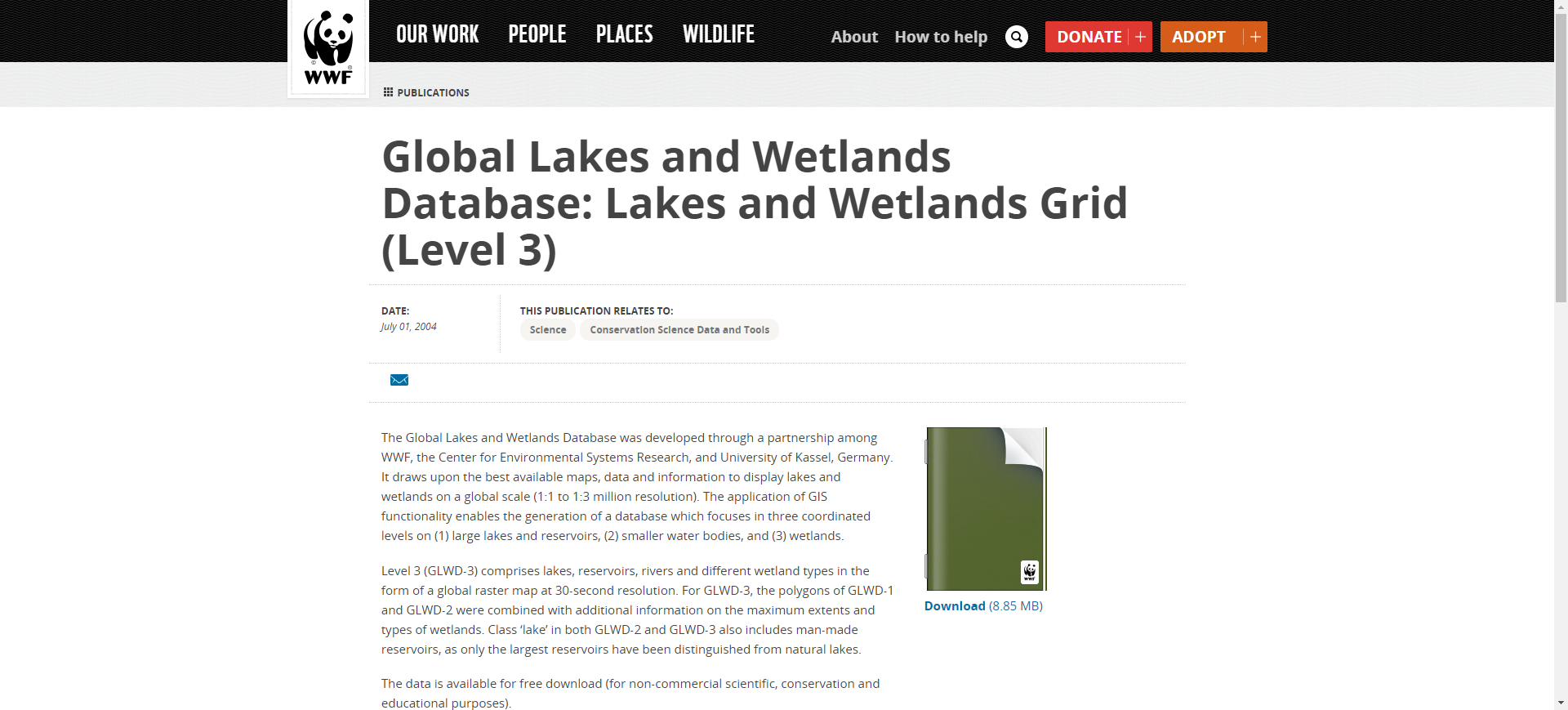
- img: https://pics.landcover100.com/pics/image/THEMATIC58.png
  link: https://www.worldwildlife.org/publications/global-lakes-and-wetlands-database-lake
  name: Global Lakes and Wetlands Database
  desc: Hydrography
  author: Login Required?Yes
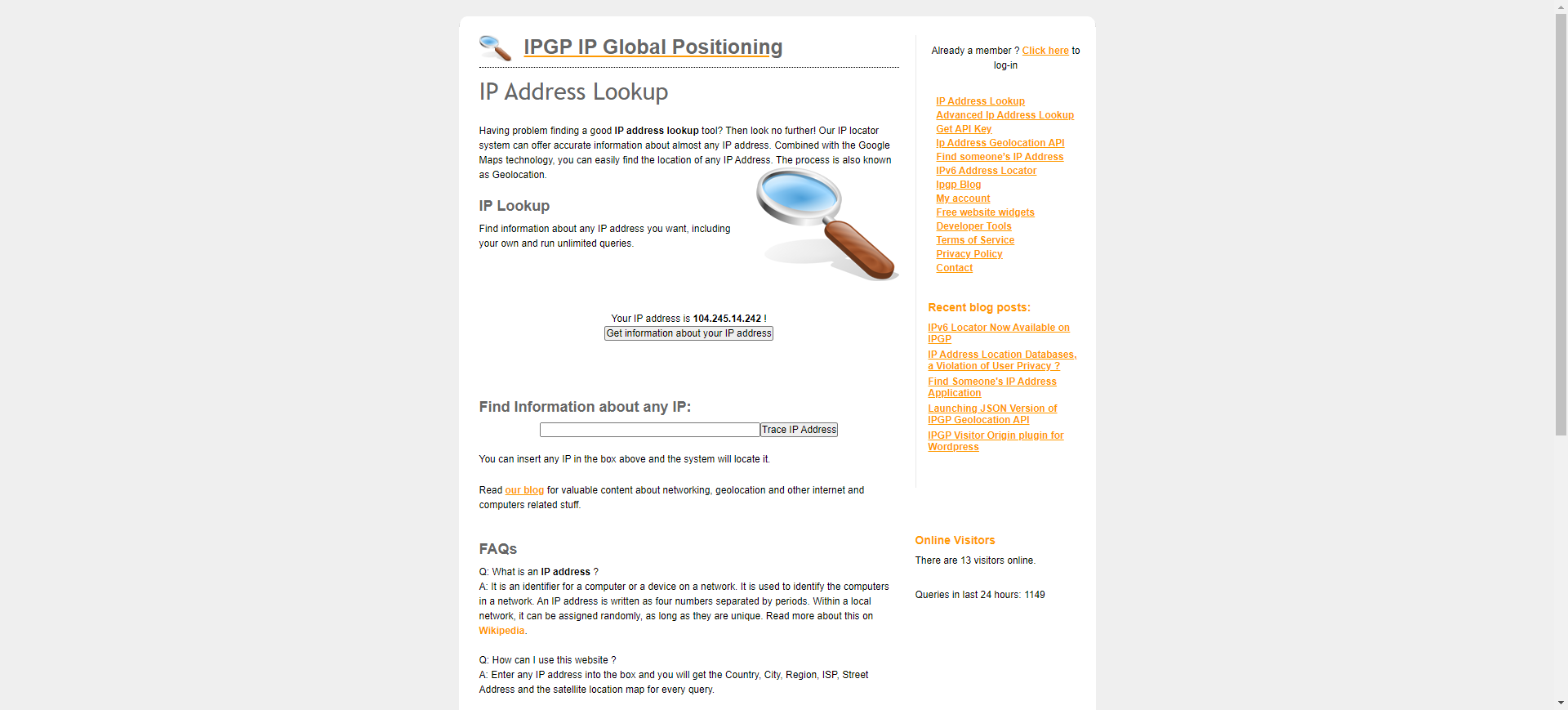
- img: https://pics.landcover100.com/pics/image/THEMATIC59.png
  link: http://www.ipgp.net/
  name: IP Address Lookup
  desc: IP Addresswill show a map with the location of an IP address or
- img: https://pics.landcover100.com/pics/image/THEMATIC61.png
  link: http://www.hostip.info/
  name: hostip.info Geolocation data
  desc: IP Addressmapping from IP address to location - variable accuracy
  author: Login Required?No
- img: https://pics.landcover100.com/pics/image/THEMATIC64.png
  link: http://landcover.usgs.gov/landcoverdata.php
  name: USGS Land Cover Institute
  desc: LandcoverGlobal list of landcover sources
  author: Login Required?No
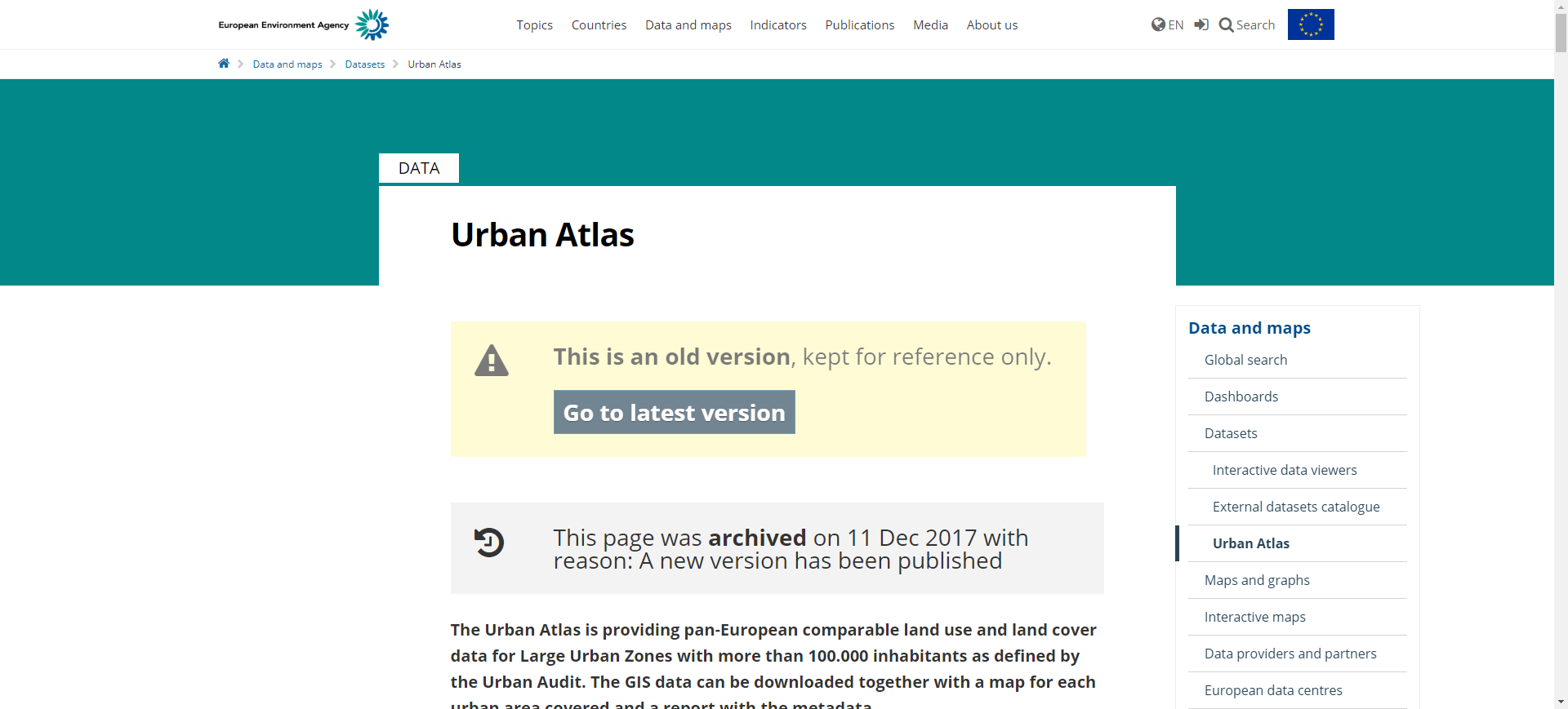
- img: https://pics.landcover100.com/pics/image/THEMATIC67.png
  link: http://www.eea.europa.eu/data-and-maps/data/urban-atlas
  name: Global Monitoring for Environment and Security (GMES) Urban Atlas
  desc: LandcoverEuropean Urban Land Use and land cover data; 2006 source data. Large Urba
  author: Login Required?No
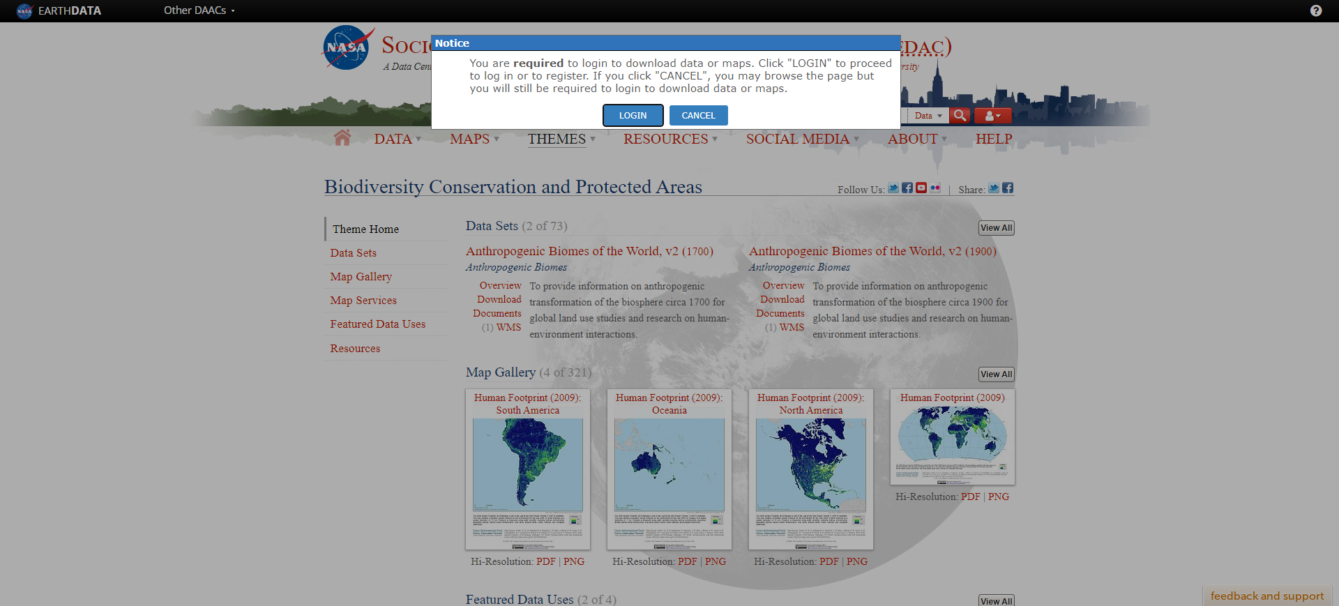
- img: https://pics.landcover100.com/pics/image/THEMATIC68.png
  link: http://sedac.ciesin.columbia.edu/conservation/proarca.html
  name: Central American Vegetation/Land Cover Classification and Conservation Status
  desc: LandcoverLandcover and conservation status; via ftp
  author: Login Required?No
导航表格 有一些网站是没有加载出来的,就没有做成贴片。更详细的信息见下表:
| Name | Web Address | Theme | Notes |
|---|---|---|---|
| OpenAddresses | http://openaddresses.io/#download | Addresses, Points of Interest | Download 1.9GB archive of addresses or upload an address file or link to address file at GitHub; see coverage http://data.openaddresses.io/runs/1428905512.728/index.html |
| Global Airport Data from OurAirports | http://www.ourairports.com/data/ | Aeronautics | KML, CSV, also links to an rss feed of airport comments (http://www.ourairports.com/comments.rss) describing facilities and current operations |
| Our Airports | http://www.ourairports.com/ | Aeronautics | Web app but also downloadable CSV-formatted data dump (http://www.ourairports.com/data/) updated every night - the airport comments (http://www.ourairports.com/comments.html) are very interesting. RDF version here: http://datahub.io/dataset/data-incubator-our-airports |
| World Aeronautical Database | http://worldaerodata.com/ | Aeronautics | move to webapps |
| Open Fllights | http://openflights.org/data.html | Aeronautics | Global airport, airline and route data |
| USSTRATCOM Worldwide Airports | http://gapspub.ultra-prologic.com/POIRSS/default.ashx?source=Worldwide_Airports | Aeronautics | GeoRSS feed; I think the source data is Digital Aeronautical Flight Information (DAFIF) |
| X-Plane | http://data.x-plane.com/get_data.html | Aeronautics | includes runways taxiway layouts; .dat file designed to work with x-plane flight simulator. Source of TerraGear airports in their landcover database |
| Worldwide Soaring Turnpoint Exchange Airspace | http://soaringweb.org/Airspace/HomePage.html | Aeronautics | Polygons of airspace: CUB, OpenAir or TimNewport-Peace formats or unreferenced PNGs. Look at http://www.daec.de/fachbereiche/luftraum-flugbetrieb/luftraumdaten/ for German Airspace data |
| WELT2000 | http://www.segelflug.de/vereine/welt2000/ | Aeronautics | free global OBDL database of airports, airfields, waypoints, Glider Sites, Ultralight Sites; Releases published twice a year: beginning of February and August. Snapshots published daily; downloads are txt files |
| SkyLines | https://www.skylines.aero/ | Aeronautics | User contributed flight information; archives, live visualizations and downloads in IGC format; db is ODBY license. Uses Welt2000 for waypoints; IGC file format specs here:http://carrier.csi.cam.ac.uk/forsterlewis/soaring/igc_file_format/ |
| AirNav.com (opens new window) | http://www.airnav.com/ | Aeronautics | All ports (air, balloon, glider, heli, se and ultalight) browsable by country or searchable by name, location, private/pub/mill, etc |
| Airport Information Webservice | http://www.webservicex.net/ws/WSDetails.aspx?WSID=20&CATID=7 | Aeronautics | Get geocodes, Airport Code, CityOrAirport Name, Country, Country Abbrv, CountryCode,GMT Offset Runway Length in Feet, Runway Elevation in Feet |
| SkyVector Aeronautical Charts | https://skyvector.com/airports | Aeronautics | Airport searchable by ICAO ID or name, browsable by country. Record includes coordinates, elevation, VFR and IFR charts |
| Eurocontrol maps for European airspace | http://www.eurocontrol.int/services/cartography | Aeronautics | The cartography service provides users with maps of the latest version of the ATS route network including civil and military airspace structures and ATC ATFM sectors. It now only provides EUROCONTROL Regional Charts (ERC) - are a combination of the former Airspace Management Planning Charts (ASM) and the Central Flow Management Planning Charts (CFMU) available in 12 areas over Europe in the Upper and Lower Airspace. |
| International Food Policy Research Institute (IFPRI) | http://www.ifpri.org/datasets | Agriculture | Includes Survey and Other Types of Data |
| Global Agro-Ecological Zones:Food and Agriculture Organization of the United Nations | http://www.fao.org/nr/gaez/data-portal/en/ | Agriculture | global, regional and local geospatial and tabular information on agricultural resources and potential |
| Organization for Economic Cooperation and Development (OECD) Agricultural Outlook Database | http://www.agri-outlook.org/document/15/0,3746,en_36774715_36775671_48172367_1_1_1_1,00.html | Agriculture | |
| CIAT GeoNetwork | http://gisweb.ciat.cgiar.org:8080/geonetwork/srv/en/main.home | Agriculture | |
| Food and Agriculture Organization of the United Nations | http://faostat.fao.org/site/291/default.aspx | Agriculture | |
| Inland fisheries by country | http://docs.wri.org/page_freshwater_frefish.zip | Agriculture | |
| Second Administrative Level Boundaries (SALB) | http://www.unsalb.org/ | Boundaries | |
| GADM Database (From The BioGeomancer (BG) Project) | http://www.gadm.org/ | Boundaries | Alternate access point: http://www.maplibrary.org/stacks/gadm/index.php |
| Borders | https://github.com/gem/DirectObservationToolsForWindows/tree/master/Bin/Projections/borders | Boundaries | Global admin0 boundaries, oceans and 30 degree grid cells (lat/lon) |
| Borders | http://www.amcharts.com/svg-maps/ | Boundaries | Global admin0 boundaries as SVG CC- BY-NC |
| Global Administrative Unit Layers (GAUL) | http://www.fao.org/geonetwork/srv/en/metadata.show?id=12691 | Boundaries | |
| World Borders Dataset | http://thematicmapping.org/downloads/world_borders.php | Boundaries | |
| World Neighborhoods | http://market.weogeo.com/datasets/open-neighborhoods-world.html?globalZoom=0&lat=0&lon=0 | Boundaries | neighborhood boundaries for the US and a variety of international cities. Including Amsterdam, Beijing, London, Montreal, Paris, Rome, Sydney, and Tokyo |
| World Map | http://aprsworld.net/gisdata/world/ | Boundaries | political outline of the world source:TerraSpace, Russia |
| KML Border Data for World Countries, US States, & Canadian Provinces and Territories | https://www.google.com/fusiontables/DataSource?snapid=S160851153vA | Boundaries | Google fusion table, geometry availble as KML (choose visualize, then map, then you can download as KML). Compiled from data from thematicmapping.org (https://www.google.com/fusiontables/DataSource?dsrcid=394713), based on data from naturalearthdata.com. |
| Free GIS data from Mapping Hacks | http://www.mappinghacks.com/data/ | Boundaries | Link here for world boundaries but smaller datasets also available. See also Bjørn Sandvik's version, TM_WORLD_BORDERS-0.2.zip, at http://thematicmapping.org/downloads/world_borders.php. Available under creative commons |
| Large Scale International Boundaries dataset | https://hiu.state.gov/data/data.aspx | Boundaries | Only for adjacent countries - coastlines and island nation boundaries are not included; - upgraded from interntional boundary to Large Scale International Boundary Lines and World Vector Shorelines (LSIB-WVS) in March 2013 |
| EpiInfo Shapefiles | http://wwwn.cdc.gov/epiinfo/html/shapefiles.htm | Boundaries | Designed to be used with CDC assessment tool. 1998 data - Admin0/1 globally;admin2 for handful of western european countries. Distributed as executable. |
| Borders | https://mapzen.com/data/borders/ | Boundaries | Country, region and city boundary data from OpenStreetMap as geoJson (download by country). Files updated monthly (not a live extract). Hierarchy varies by country and does not follow Admin0, admin1 convention: "...in the United States, layer 2 describes the national boundary, layer 4 is states, layer 6 is counties, and layer 8 is cities" Full planet file available: http://s3.amazonaws.com/osm-polygons.mapzen.com/planet_geojson.tgz |
| OSM Boundaries 3.7 | https://osm.wno-edv-service.de/boundaries/ | Boundaries | Service allows users to download OpenStreetMap boundary data in shape, json, osm, svg, poly or bpoly formats. |
| World database of large urban areas, 1950-2050 | https://nordpil.com/resources/world-database-of-large-cities/ | Boundaries | Shapefiles, TSV, HTML, GE, AGOL Layer Package, |
| GeoReferenced Electoral Districts (GRED) | http://www.electiondataarchive.org/datacenter-gred.html | Boundaries (Electoral Districts) | Shapefiles |
| VLIZ Maritime Boundaries Geodatabase | http://www.vliz.be/vmdcdata/marbound/index.php | Boundaries (Maritime) | Maritime Boundaries and Exclusive Economic Zones |
| MPAAtlas | http://www.mpatlas.org/explore/ | Boundaries (Maritime) | Marine protected areas; not downloadable |
| Nordpil world database of large urban areas 1950-2050 | http://nordpil.com/go/resources/world-database-of-large-cities/ | Boundaries (urban areas) | derived from the World Urbanization Prospects: The 2007 Revision Population Database (UN Population Division). The urban areas data is made available under a Creative Commons public domain license. Shapefiles, tsv, html, GE, AGS Layer |
| NOAA Global Self-consistent, Hierarchical, High-resolution Shoreline Database (GSHHS) | http://www.ngdc.noaa.gov/mgg/shorelines/gshhs.html | Boundary (Shoreline) | |
| EVS-Islands (Enhanced Vector Shorelines) | http://www.evs-islands.com/ | Boundary (Shoreline) | Maps may also include building features on some islands |
| NGA Prototype Global Shoreline Data (Satellite Derived High Water Line Data) | http://msi.nga.mil/NGAPortal/DNC.portal?_nfpb=true&_pageLabel=dnc_portal_page_72 | Boundary (Shoreline) | Shapefiles; it is NOT a Mean High Water Line since the source data have not been tide coordinated |
| DIVA Global Coastal Database (DINAS-COAST) | http://diva.demis.nl/ | Boundary (Shoreline) | Link appears broken - journal article with contact information here: http://allenpress.com/pdf/COAS24.4-press-release.pdf |
| UNICEF State of The World’s Children | http://www.unicef.org/sowc08/statistics/tables.php | Child Survival | |
| ENC Charts | http://www.nauticalcharts.noaa.gov/mcd/enc/ | Coastal Navigation | Coastal Management (Electronic Navigational Charts) |
| Geographically Based Economic Data (G-Econ) | http://gecon.yale.edu/ | Economics | Geophysically scaled economic dataset, containing economic activity for each 1x1 degree latitude-by-longitude cell on the globe. |
| Forest ecosystems | http://www.wri.org/publication/pilot-analysis-global-ecosystems-forest-ecosystems#data | Forest Resources | Global in Scope |
| North America Volcano WebCams | http://www.skimountaineer.com/CascadeSki/CascadeWebCams.php | Geology | |
| USGS Mineral Resources On-Line Spatial Data | http://mrdata.usgs.gov/ | Geology | Mineral Resources, Geological Data, Geochemistry Data, Geophysics Data-Mostly US and some global |
| Health Sites | https://healthsites.io/ | Health | baseline health facility data; downloadable as shapefile from map interface or as pull request from github https://github.com/healthsites |
| WHO GeoNetwork | http://www.who.int/geonetwork | Health | |
| Measure DHS | http://www.measuredhs.com/Data/ | Health | |
| Demographic and Health Surveys | http://www.measuredhs.com (opens new window) | Health | |
| WHO - Global Health Observatory Data Repository | http://apps.who.int/ghodata/ | Health | See also http://www.who.int/gho/en/ |
| CDC Wide-ranging Online Data for Epidemiologic Research (WONDER) | http://wonder.cdc.gov/WelcomeA.html | Health | |
| HIV Spatial Data Repository | http://www.hivspatialdata.net/?page=about | Health (HIV) | |
| Malaria Atlas Project | www.map.ox.ac.uk (opens new window) | Health (Malaria) | |
| Global Lakes and Wetlands Database | https://www.worldwildlife.org/publications/global-lakes-and-wetlands-database-lakes-and-wetlands-grid-level-3 | Hydrography | |
| IP Address Lookup | http://www.ipgp.net/ | IP Address | will show a map with the location of an IP address or Internet Service Provider |
| GeoLite2 City | http://dev.maxmind.com/geoip/geoip2/geolite2/ | IP Address | Free version; subscription available for more accurate version; available as binary or csv; updated monthly |
| hostip.info Geolocation data | http://www.hostip.info/ | IP Address | mapping from IP address to location - variable accuracy |
| GeoIPService | http://www.webservicex.net/WS/WSDetails.aspx?CATID=12&WSID=64 | IP Address | GeoIPService enables you to easily look up countries by IP address / Context |
| IP to location APIs | http://free-web-services.com/web-services/geo/ip-to-location/ | IP Address | List of free web services to convert IP address to city and/or LatLong |
| USGS Land Cover Institute | http://landcover.usgs.gov/landcoverdata.php | Landcover | Global list of landcover sources |
| USGS Land Carbon Data | http://landcarbon.org/categories/ | Landcover | USGS maps how much carbon is sequestered in ecosystems using stream gauge, soil, and natural-resource inventory data, remote sensing techniques, and computer models. Includes burned areas, land cover, biomass and forest stand age |
| Atlas of Urban Expansion | http://www.lincolninst.edu/subcenters/atlas-urban-expansion/gis-data.aspx | Landcover | |
| Global Monitoring for Environment and Security (GMES) Urban Atlas | http://www.eea.europa.eu/data-and-maps/data/urban-atlas | Landcover | European Urban Land Use and land cover data; 2006 source data. Large Urban Zones with more than 100,000 inhabitants as defined by the Urban Audit |
| Central American Vegetation/Land Cover Classification and Conservation Status | http://sedac.ciesin.columbia.edu/conservation/proarca.html | Landcover | Landcover and conservation status; via ftp |
| Frozen Ground Data Center | http://nsidc.org/fgdc/maps/ | Landcover | |
| Europe’s CORINE (Coordination of Information for the Environment) land cover data | http://market.weogeo.com/datasets/open-european-corine-land-cover-2006.html?globalZoom=4&lat=42.09575771095&lon=7.43460357905 | Landcover | compilation of 38 European national land cover inventories, up to 44 land cover classes |
| TerraGear World Custom Scenery Landcover Database | http://mapserver.flightgear.org/shpdl/ | Landcover | VMAP and GSHHS; download area is limited to 144 square-degrees; includes community edits to source data |
| GlobeCover | http://ionia1.esrin.esa.int/ (opens new window) | Landcover | 300 m resolution |
| UMD Global Landcover | http://glcf.umiacs.umd.edu/index.shtml | Landcover | |
| Global Land Cover Characteristics (GLCC) database | http://edcdaac.usgs.gov/glcc/glcc.html | Landcover | |
| Bhoosampada | http://applications.nrsc.gov.in/ | Landcover | Satellite derived LU/LC for India |
| Land cover of South America | ftp://ftp.whrc.org/ | Landcover | at 1km resolution based on satellite imagery; via ftp site |
| TerraGear World Custom Scenery Landcover Database (FTP) | ftp://ftp.ihg.uni-duisburg.de/FlightGear/TGShapes/ | Landcover | VMAP and GSHHS (Global Self-consistent, Hierarchical, High-resolution Shoreline Database) shapefiles via FTP; includes airfield shapefile (ftp://ftp.ihg.uni-duisburg.de/FlightGear/TGShapes/apt_airfield.tar.bz2) |
| Central American Vegetation/Land Cover Classification and Conservation Status | ftp://ftp.ciesin.org/pub/data/conservation/PROARCA/ | Landcover | Landcover and conservation status; via ftp |
| GlobeLand30 | http://www.globallandcover.com/GLC30Download/index.aspx | Landcover | China's 10 class/30 meter resolution global landcover datasets for 2000 and 2010; see also www.globeland30.org |
| ESRI/USGS Global Ecologial Land Units | http://rmgsc.cr.usgs.gov/outgoing/ecosystems/Global/#sthash.v2zskLsY.dpuf | Landcover | 250 m resolution; global 2.5 GIG tiff file; Online app http://esriurl.com/EcoTapestry |
| European Space Agency TropForest data | https://earth.esa.int/web/guest/data-access/browse-data-products/-/asset_publisher/y8Qb/content/tropforest | Landcover | Covers tropical Latin America (excluding Mexico) and tropical South and Southeast Asia (excluding China) |
| IPA Circumartic Permafrost And Ground Ice Map | http://www.grida.no/prog/polar/ipa/index.htm | Landcover | Permafrost |
| Language Map of the Caucus Region | http://www.jakecoolidgecartography.com/wp-content/uploads/2012/02/CaucasusLayout_RevWeb.png | Languages | Data Not available |
| Worldmapper | http://www.worldmapper.org/display_languages.php?selected=583 | Languages | Primarily uses Ethnologue data, but includes other sources |
| Languages of the world | http://www.ethnologue.com/country_index.asp | Languages | |
| Indigenous living languages from Worldmapper | http://sasi.group.shef.ac.uk/worldmapper/display_languages.php?selected=583 | Languages | Main datasource: Ethnologue. Data avaiable in Excel, Opendoc; to access the map data click on the Data tab in the bottom left hand corner. Mapped according to 200 territories including small islands allocated to the territory from which they are governed |
| Glottolog | http://glottolog.org/ | Languages | |
| The Tromso Repository of Language and Linguistics (TROLLing) | https://opendata.uit.no/dataverse/trolling | Languages | Unclear if the data contains any type of geocode; see also https://opendata.uit.no/dataverse/root |
| GeoNames | http://www.geonames.org/ | Place Names | |
| Geographical Names | http://www.geographic.org/geographic_names/ | Place Names | Not in a GIS format |
| NGA GEOnet Names Server (GNS) Country Files | http://earth-info.nga.mil/gns/html/namefiles.htm | Place Names | Complete Files of Geographic Names for Geopolitical Areas from GNS, updated monthly. Tarball: http://www.evl.uic.edu/pape/data/WDB/WDB-text.tar.gz |
| NGA GEOnet Names Server (GNS) | http://earth-info.nga.mil/gns/html/ | Place Names | See text version http://geonames.nga.mil/ggmagaz/ |
| UN/EC Common Gazetteer Search | http://dma.jrc.it/services/gazetteer/ (opens new window) | Place Names | |
| Falling Rain Global Gazetteer | http://www.fallingrain.com/world/index.html | Place Names | Admin names and populated places; Not clear what the source is or if it is it's own DB - uses both Goolge and OSM as base maps; includes distance to nearby airports and their code; often used Wikipedia |
| Countries of the World (COW) | http://www.opengeocode.org/download/cow.php | Place Names | 71 distinct fields of data for the 249 countries, territories and dependencies (top-level administrative divisions) recognized by the United Nations; admin1 also available (countries identified by centroids and not polygons); attributes include capital city names and geocodes, country languages, population, area, website for country's national GIS and statistics agencies |
| Freebase | https://www.freebase.com/ | Place Names | CC-BY, 'community-curated database of well-known people, places and things'; RDF includes 'location' property; offers weekly data dumps https://developers.google.com/freebase/data. The Freebase will become readonly March 2015; API will be retired on June 30, 2015 |
| EuroGeoNames (EGN) | http://www.eurogeographics.org/eurogeonames | Place Names | combines geographical names from the National Mapping and Cadastral Agencies (NMCAs) across Europe - 42 countries; service is free with limitation of 100 queries per day. Site includes downloadable boundary files (shp and gdb) and DEMs, and a 1:1 million scale topographic dataset covering 45 countries and territories in the European region (via request form). |
| United Nations Group of Experts on Geographical Names (UNGEGN) database | http://unstats.un.org/unsd/geoinfo/geonames/Default.aspx | Place Names | countries, capitals and in some cases major cities |
| GeoNym (African gazetteer application) | http://geoinfo.uneca.org/geonyms | Place Names | Not functional Jan 2016 |
| UN/EC Common Gazetteer Search | http://dma.jrc.it/services/gazetteer/ (opens new window) | Place Names | Fuzzy search |
| Asia South East Pacific South West Division gazetteer | http://www.icsm.gov.au/cgna/ungegn.html | Place Names | PDF with Lat/Long for Australia, Brunei Darussalam, Druk Yul (Bhutan), Indonesia, Malaysia, Myanmar, New Zealand, North Mariana Islands, Papua New Guinea, Philippines, Samoa, Singapore, Sri Lanka, Thailand, Timor Leste, Tonga, Vanuatu, Vientiane Lao and Vietnam |
| Who's On First (Mapzen) | https://whosonfirst.mapzen.com/ | Place Names | In development; gazetteer; geoJson hosted at github; includes administrative data and places like venues and postcodes. Human readable list of data sources here: https://github.com/whosonfirst/whosonfirst-sources/blob/master/sources/README.md |
| Geonames.org (opens new window) | http://www.geonames.org/ | Place Names | database is available for download, through a number of webservices and a daily database export free of charge under a creative commons attribution license |
| POI Factory | http://www.poi-factory.com (opens new window) | Points of Interest | Point of Interest files originally for GPS. To get GIS-ready data choose Garmin CSV format on the download page. The CSV file contains Lat/Long (WGS-84) co-ordinates and descriptions |
| SimpleGeo Public Spaces Collection (archive) | https://archive.org/details/2011-08-SimpleGeo-CC0-Public-Spaces | Points of Interest | over 21 million points of interest in 63 countries. 2 GB zip file Creative Commons License; looks like data was current as of 2011 |
| Smark POI data set | http://sdi4apps.eu/spoi/ | Points of Interest | "Open and seamless SPOI data set...based on Linked data principles, contains over 23 million Points of Interest important for tourism from Europe and Africa...available for users to download, search or reuse in applications and services...combination of selected points from OpenStreetMap and local data provided by the SDI4Apps partners or data available on the web" |
| Africa Research Program | http://africa.gov.harvard.edu/ | Political / Economic | |
| World Gazetteer | http://www.world-gazetteer.com/wg.php?x=&men=gcis&lng=en&dat=32&srt=npan&col=aohdq&pt=c&va=x | Populated Places | Can download KML data |
| Getty Online Thesaurus Of Geographic Names | http://www.getty.edu/research/tools/vocabularies/index.html | Populated Places | Not a GIS dataset but list of Lat/Long |
| WorldWind/Blue Marble Pace Names (via SourceForge) | http://prdownloads.sourceforge.net/nasa-exp/BlueMarble-Placenames.zip?download | Populated Places | |
| World database of urban areas | http://nordpil.com/go/resources/world-database-of-large-cities/ | Populated Places | |
| GNIS Geonames Viewer | http://geonames.nga.mil/ggmaviewer/ | Populated Places | See also Live Services |
| GeoNames Search | http://geonames.nga.mil/ggmagaz/ | Populated Places | Text viewer returns Lat/Long |
| Wikipedia List of Towns | http://en.wikipedia.org/wiki/List_of_towns | Populated Places | This is a list of lists of towns and villages by country. Many have geocodes in the linked page description |
| EuroGeoNames | http://ec2-50-19-212-160.compute-1.amazonaws.com/EGNol/ | Populated Places | Current 17 countries; limit 100 queries/day - in addition to the webapp, apparently there is WMTS, KML, JSON, and WFS services but I don't know where the connection parameters are |
| U.S. Defense Mapping Agency GEOnet Names Server (Foreign Geographic Feature Names) | http://164.214.2.50/ | Populated Places | |
| Cities of the World dataset | http://www.opengeocode.org/download.php#cities | Populated Places | Area centroid for each city compiled it from the USGS and NGA geographic name servers (also has US counties, cities, zip code datasets) (CSV) |
| MaxMind World Cities Database | https://www.maxmind.com/en/city | Populated Places | Global; includes country code, city name, region, population, lat, long. Yearly update. "This database contains duplicate and incorrect entries" |
| Nighttime Lights | http://julius.ngdc.noaa.gov:8080/production/html/BIOMASS/night.html | Populated Places (Proxy) | Alternate site: http://sabr.ngdc.noaa.gov/ntl/ |
| OpenAddresses.org (Beta) | http://www.openaddresses.org/ | Populated Places/Addresses | web portal for the management of Open Source worldwide geolocated postal addresses; download function in development; geocoding and reverse geocoding. Features associated to postal addresses like persons, companies, point of interests are not part of openaddresses |
| LandScan Global Population 2000 Database | http://www.ornl.gov/sci/landscan/landscan_data_avail.shtml | Population | |
| National Center for Geographic Information and Analysis Global Demography Project | http://www.ncgia.ucsb.edu/pubs/gdp/pop.html#GLOBAL | Population | Raster popoulation density |
| Population Data Resources Compendium | http://tigger.uic.edu/~rjensen/populate.html (opens new window) | Population | Not a repository but compendium of potential sources |
| Human Mobility Mapping Project | www.thummp.org (opens new window) | Population Movement | Data sharing determined on case-by-case basis |
| Migration in National Surveys' (MiNS) | http://www.migrationdrc.org/publications/resource_guides/Migration_Nationalsurveys/index.html | Population Movement | see also http://www.migrationdrc.org/publications/resource_guides/Migration_Nationalsurveys/child_db/home.php |
| Refugee Flow Patterns in Kosovo, March-May 1999 | http://shr.aaas.org/kosovo/index.html | Population Movement | |
| Global Migrant Origin Database | http://www.migrationdrc.org/research/typesofmigration/global_migrant_origin_database.html (opens new window) | Population Movement | |
| UNCHR Refugee Camp Mapping Data | http://data.unhcr.org/portfolio/downloads/ | Refugee Camps | Also includes data model |
| ShelterCluster.org (opens new window) | https://www.sheltercluster.org/Pages/default.aspx | Settlement/Shelter | mostly links to OCHA common operational datasets |
| SEDAC/CIESIN | http://sedac.ciesin.columbia.edu/data/sets/browse | Socio-economic (including Population) | |
| OpenCellID | http://www.opencellid.org/ | Technology | APIs to locate cells tower and users using Cell positionning |
| openBmap | http://www.openbmap.org/ | Technology | map of wireless communicating objects (e.g. cellular antenna, Wi-Fi, Bluetooth); data provided as a static download, updated regularly |
| Internet Exchanges | http://www.internetexchangemap.com/ | Technology | Data is combination of authoritative and crowdsourced. Data can be downloaded from: https://raw.github.com/telegeography/www.internetexchangemap.com/master/public/javascripts/buildings.geojson |
| FCC Radio and TV contour data | http://transition.fcc.gov/oet/info/maps/mmb/ | Technology | MapInfo format; US Only; wireless licensing data at http://wireless.fcc.gov/uls/index.htm?job=transaction&page=weekly |
| Orange data, D4D Senegal and Ivory Coast Challenge | http://www.d4d.orange.com/en/presentation/data | Technology | communications between antenna tower, a sample of movement routes: location by mast, a sample of movement routes: location by administrative unit, synthetic data set, weather data |
| Submarine Cable Map | http://submarine-cable-map-2013.telegeography.com/ (opens new window) | Technology | Line work is stylized, not actual locations; landing points are for the city, not the building. To get the data click 'Visualize' then select 'Map', then click the 'Download KML' link available above the map. For landing points, modify the 'Location' dropdown menu to 'coordinates' from 'name', then click 'Download KML' to get the landing point data. You can also get the data from: https://www.google.com/fusiontables/DataSource?docid=1BVxUz5t3qDmHJApb6FVckR5mJDOn_xYFocOKWnA (cables) and https://www.google.com/fusiontables/DataSource?docid=1viJdQy7bRfdGlFuVAEYLrTQ7TClIwtPKCdcpCYY (landing points). |
| OpenSignal | http://developer.opensignal.com/ | Technology | No downloads; API for dev. |
| The DIMES Project | http://www.netdimes.org/new/?q=node/65 | Technology | distributed scientific research project, aimed to study the structure and topology of the Internet. Can show linkages in the internet and density of people online |
| exactEarth Ltd Automatic Identification System (AIS) galleries | http://gallery.exactearth.com/ | Transportation (AIS) | selected subsets from the 3-year global archive through interactive maps, web services, and downloadable sample files (The International Maritime Organization's International Convention for the Safety of Life at Sea requires AIS to be fitted aboard international voyaging ships with gross tonnage (GT) of 300 or more tons, and all passenger ships regardless of size) |
| MarineMapper | http://www.marinetraffic.com/ | Transportation (AIS) | Shipping and ports database; Exports to KML files; has historic and current AIS and API |
| NGA World Port Index | http://msi.nga.mil/NGAPortal/MSI.portal;jsessionid=hJd1Nv2PTyJF0nfG5Dy3sMv6QXbqLj0ThPwtgxCBxJZpG5611LKT!-1213936983!NONE?_nfpb=true&_pageLabel=msi_portal_page_62&pubCode=0015 | Transportation (Ports) | location and physical characteristics of, and the facilities and services offered by major ports and terminals world-wide (approximately 3700 entries) |
| GRoads | http://sedac.ciesin.columbia.edu/data/set/groads-global-roads-open-access-v1/data-download (opens new window) | Transportation (Roads) | Downloadable zipfiles of Esri file geodatabases (global and regional) or shapefiles (regional only). |
| United Nations Code for Trade and Transport Locations (UN/LOCODE) | http://www.unece.org/cefact/locode/welcome.html | Transportion | Download MS Access, txt, scv, html, includes geocoodes. 97,114 locations in 249 countries and installations in international waters. Functional classes: port, rail terminal, road terminal, airport, post office, multimodal functions, fixed transport functions, border crossing, other |
| Copernicus Security Maritime Services Traffic Monitoring | http://spatial.e-geos.it/mariss-gmes/sections/services/class1.html | Transportation (Ship) | Near real time vessel monitoring in open waters. Copernicus is the new name for the Global Monitoring for Environment and Security programme, previously known as GMES. |
| IWMI GeoNetwork | http://geonetwork.iwmi.org:8080/geonetwork/srv/en/main.home | Water Resources | link inactive 8/15/12 |
| USGS Hydro 1K watershed basins for Europe | http://docs.wri.org/page_freshwater_eu_bas.zip | Water Resources | |
| Social Weather Mapping with Twitter | http://smalltalkapp.com/#all | Weather | US Only; geo-locates recent tweets that contain the terms "sunny", "rainy", "snowy", "windy", and "foggy". The size of the circles are determined by the number of tweets. Previous project with KML and wider geographic range is now defunct (http://www.metaportaldermedienpolemik.net/mashup/twitter/weather/index.php) |
| Weather Underground API | http://www.wunderground.com/weather/api | Weather | RESTful API providing programmatic access to real-time weather information for cities around the world |
| Lightning and Atmospheric Electricity Data | http://thunder.msfc.nasa.gov/data/ | Weather | |
| Daily Global Weather Measurements, 1929-2009 | http://aws.amazon.com/datasets/2759/185-0886336-5629151 | Weather | Data originally collected as part of the Global Surface Summary of Day (GSOD) by the National Climactic Data Center (NCDC). |
| US National Weather Service GIS data | http://www.nws.noaa.gov/gis/ | Weather | See also http://www.nws.noaa.gov/geodata/ |
| NASA-USGS National Blue Carbon Monitoring System | http://www.usgs.gov/climate_landuse/land_carbon/ | Land Cover | coastal wetland (marsh and mangrove) C stocks and fluxe estimates based on changes in wetland distributions, using nationally available datasets (Landsat) and as well as finer scale satellite and field derived data in six sentinel sites. |
| Interaction NGO Aid Map | http://ngoaidmap.org/ | 3W (Who What Where) | Downloads available as KML, CSV |
有问题,我来改改 (opens new window)
上次更新: 2022/10/17, 19:07:36

