 Disaster Type
- img: https://pics.landcover100.com/pics/image/DISASTER2.png
  link: http://www.wgms.ch/
  name: World Glacier Monitoring Service (WGMS)
  desc: (Climate Change)Metadata browser;
- img: https://pics.landcover100.com/pics/image/DISASTER3.png
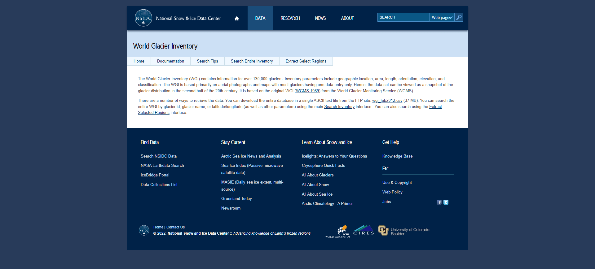
  link: http://nsidc.org/data/glacier_inventory/index.html
  name:  World Glacier Inventory (WGI)
  desc: Climate ChangeInventory of "...130,000 glaciers...paramet
  author: Login Required?No
- img: https://pics.landcover100.com/pics/image/DISASTER4.png
  link: http://nsidc.org/icebridge/portal/
  name: IceBridge Data Portal
  desc: Climate Change
  author: Login Required?No
- img: https://pics.landcover100.com/pics/image/DISASTER5.png
  link: http://nsidc.org/data/data_pool/index.html
  name: National Snow and Ice Data Center Data Pool (ftp)
  desc: Climate ChangeFTP access to
- img: https://pics.landcover100.com/pics/image/DISASTER7.png
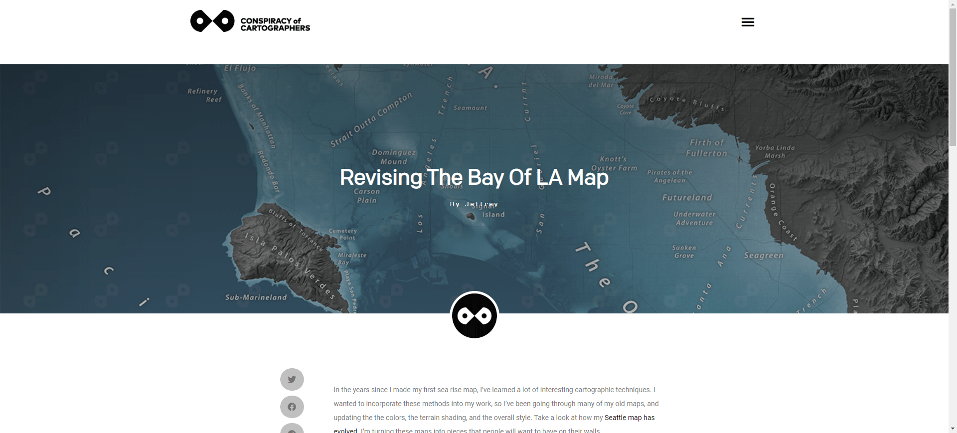
  link: http://spatialities.com/searisemaps/bay-of-la/
  name: Spatialities Sea Rise Maps
  desc: Climate ChangeModel images for 3
- img: https://pics.landcover100.com/pics/image/DISASTER8.png
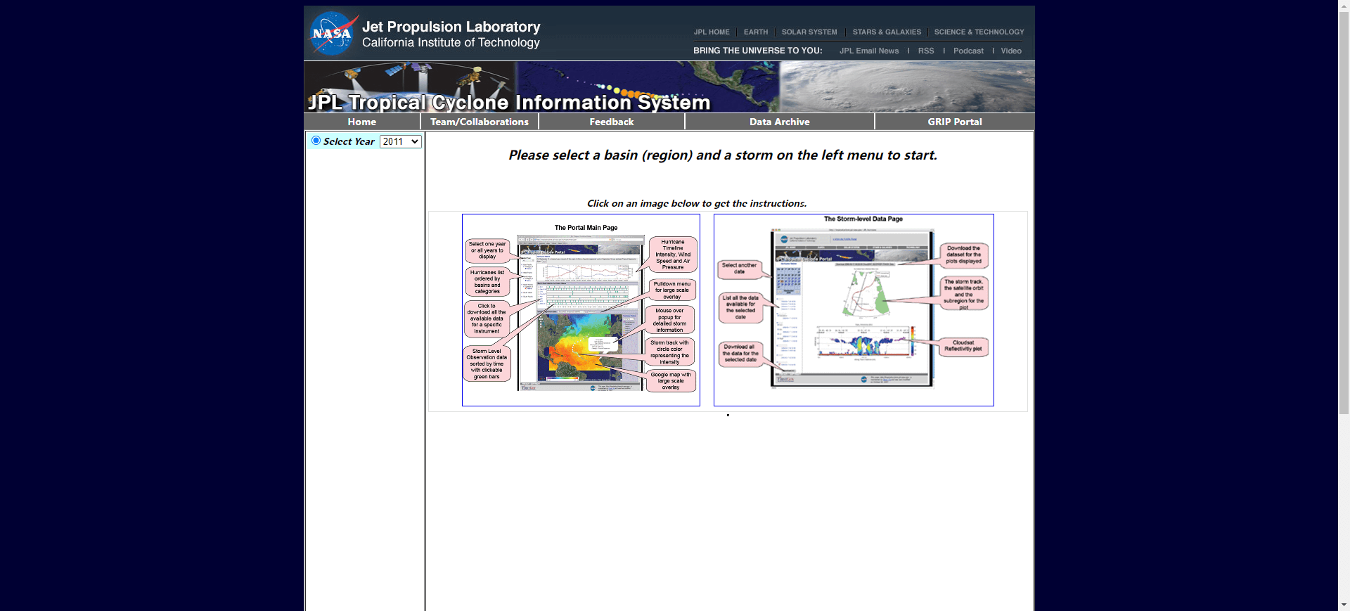
  link: http://tropicalcyclone.jpl.nasa.gov/hurricane/main.jsp
  name: JPL Tropical Cyclone Information System
  desc: CycloneTo recreate tracks, use "get tracks" button to get
  author: Login Required?No
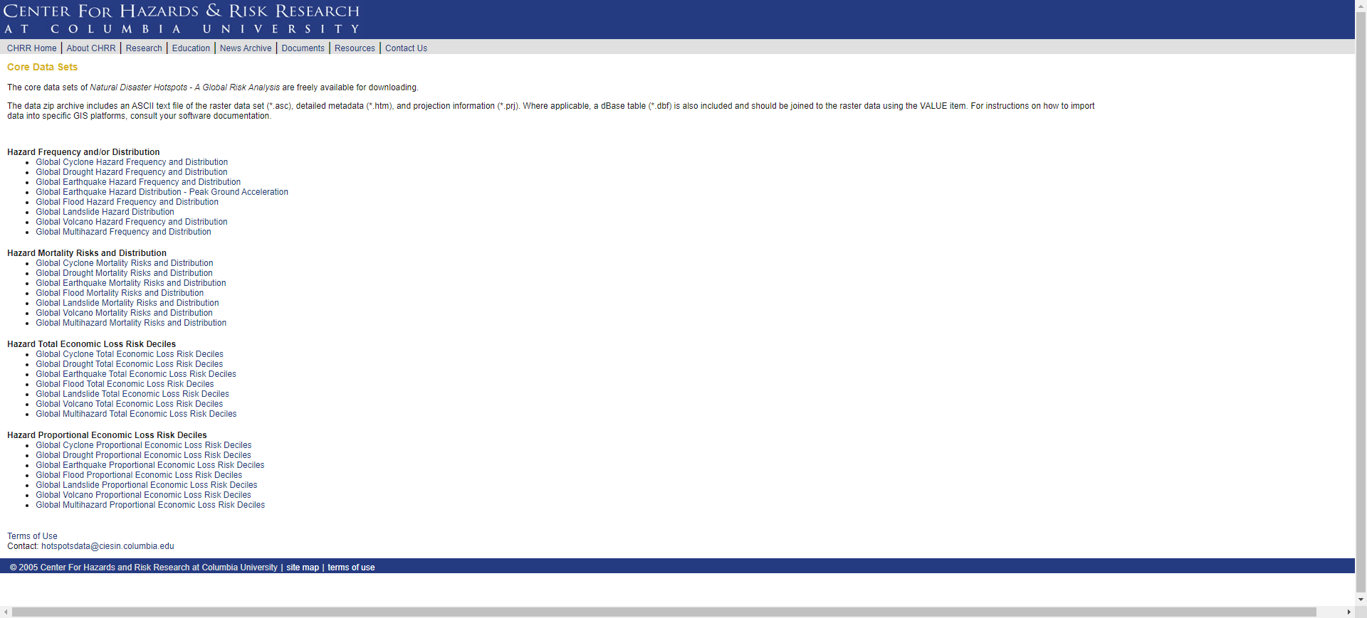
- img: https://pics.landcover100.com/pics/image/DISASTER10.png
  link: http://www.ldeo.columbia.edu/chrr/research/hotspots/cored
  name: Columbia University Natural Disaster Hotspots
  desc: Cyclone, Drought, Earthquake, Flood, Landslide and Volcan
  author: Login Required?No
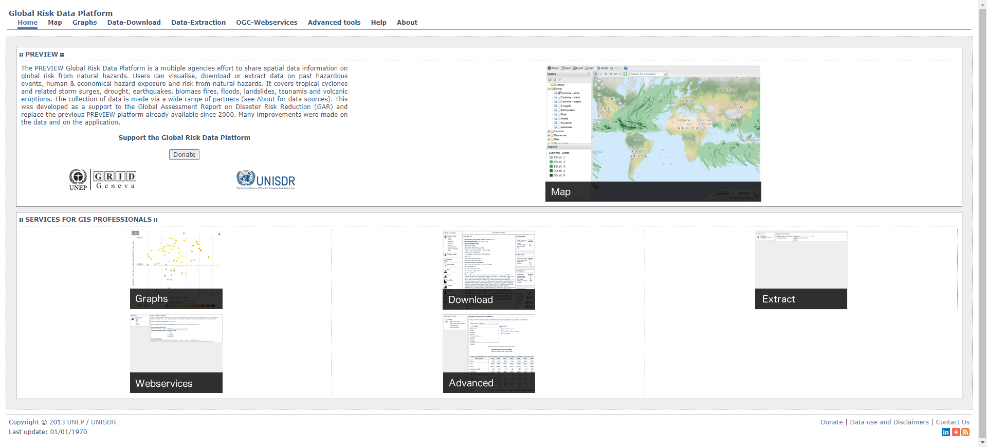
- img: https://pics.landcover100.com/pics/image/DISASTER11.png
  link: http://preview.grid.unep.ch/index.php?preview=home&lang=e
  name: UNEP-GRID Global Risk Data Platform
  desc: Cyclones, Droughts, Earthquakes, Fires, Floods, Landslide
  author: Login Required?No
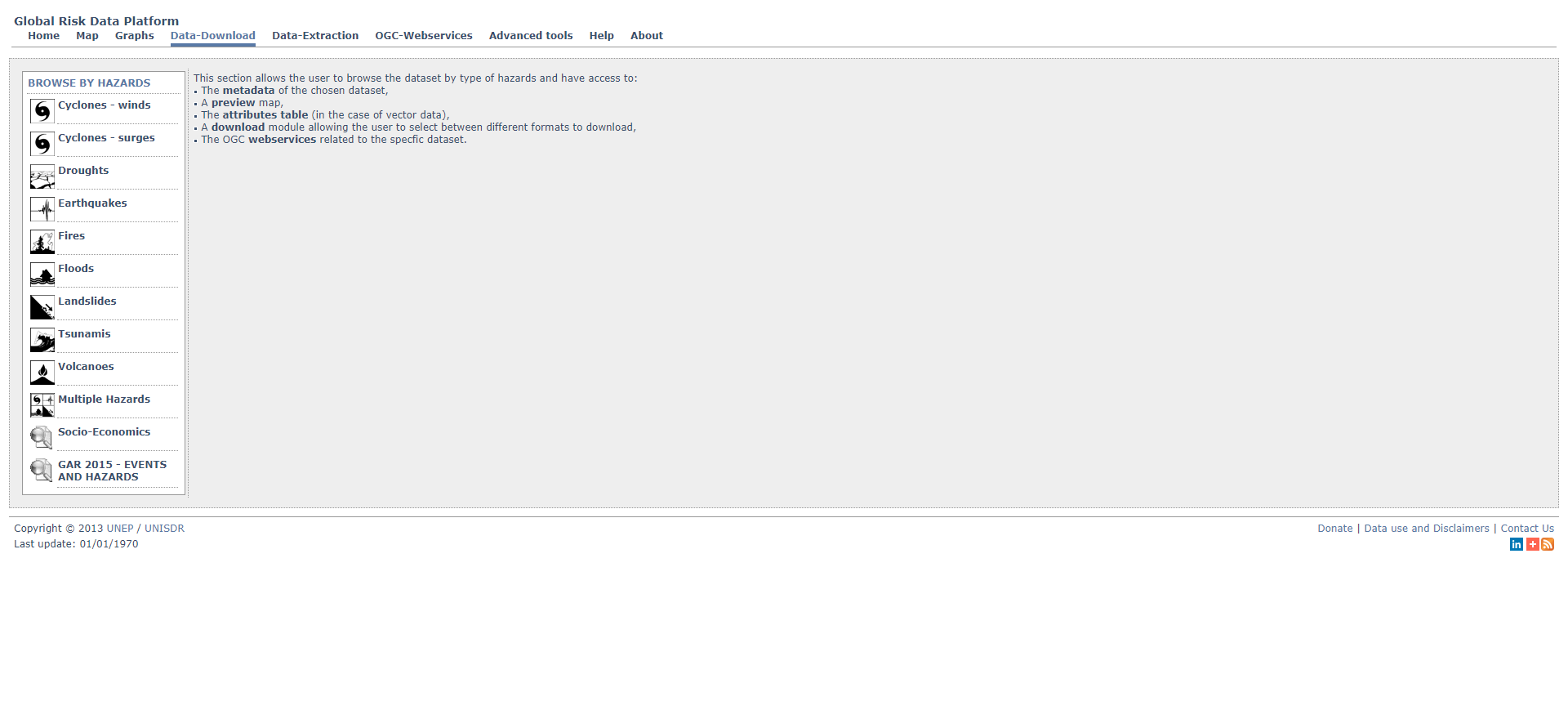
- img: https://pics.landcover100.com/pics/image/DISASTER12.png
  link: http://preview.grid.unep.ch/index.php?preview=data&lang=e
  name: Global Risk Data Platform Downloads
  desc: Cyclones, droughts, earthquakes, Fires, Floods, Landslide
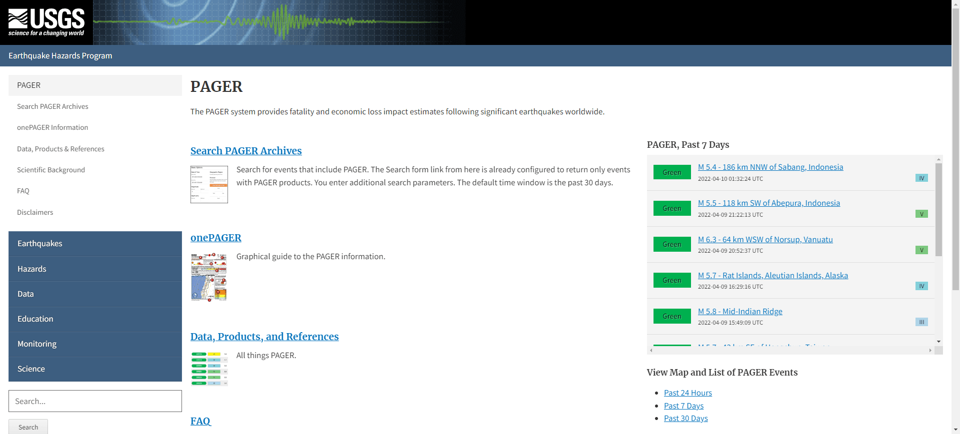
- img: https://pics.landcover100.com/pics/image/DISASTER15.png
  link: http://earthquake.usgs.gov/earthquakes/pager
  name: USGS Prompt Assessment of Global Earthquakes for Response
  desc: EarthquakesSign up for earthquake notifications (email, t
  author: Login Required?No
- img: https://pics.landcover100.com/pics/image/DISASTER19.png
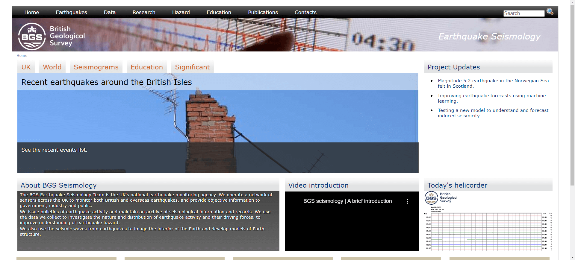
  link: http://quakes.bgs.ac.uk/
  name: British Geological Survey
  desc: EarthquakesTable of lat/long, depth, date and magnitude o
  author: Login Required?No
- img: https://pics.landcover100.com/pics/image/DISASTER21.png
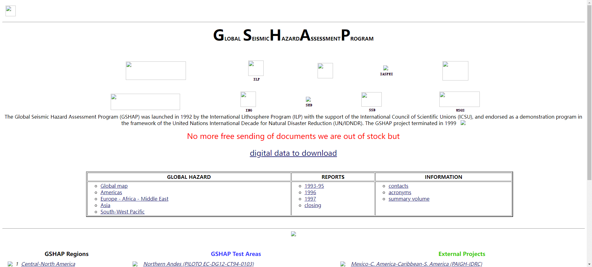
  link: http://www.seismo.ethz.ch/static/gshap/
  name: Global Seismic Hazard Map
  desc: EarthquakesDownload map or raw data (zipped grid). Direct
  author: Login Required?No
- img: https://pics.landcover100.com/pics/image/DISASTER23.png
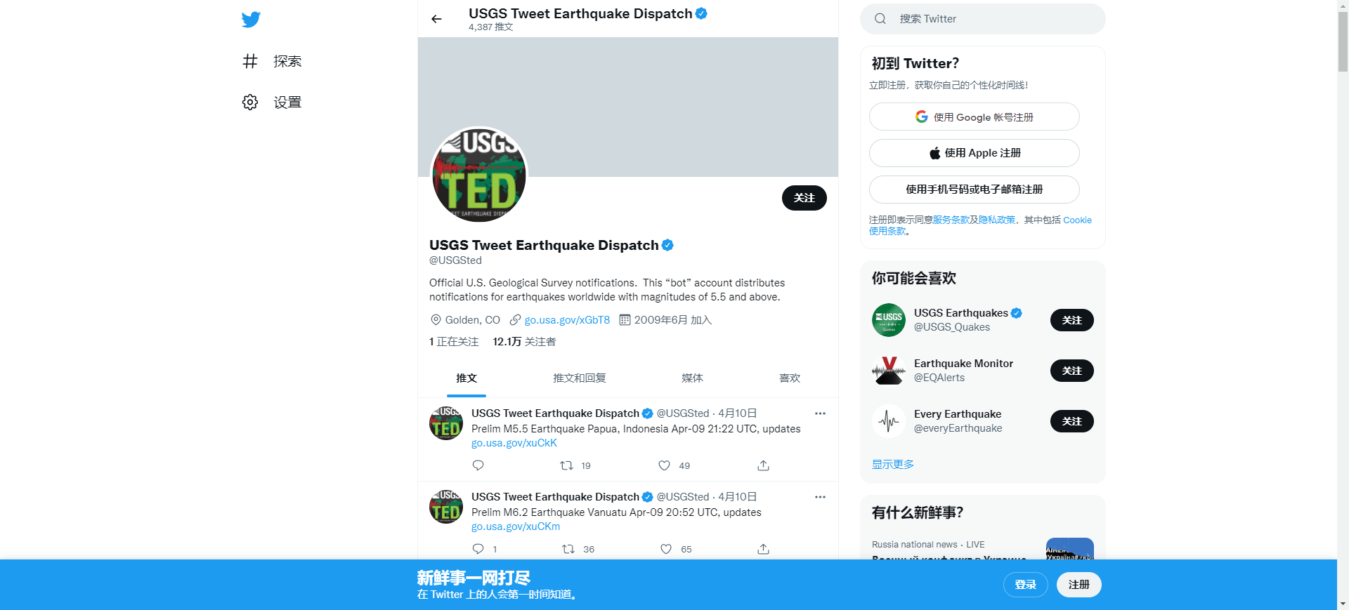
  link: http://twitter.com/#!/USGSted
  name: USGSted
  desc: EarthquakesA prototype system being developed by the USGS
  author: Login Required?No
- img: https://pics.landcover100.com/pics/image/DISASTER25.png
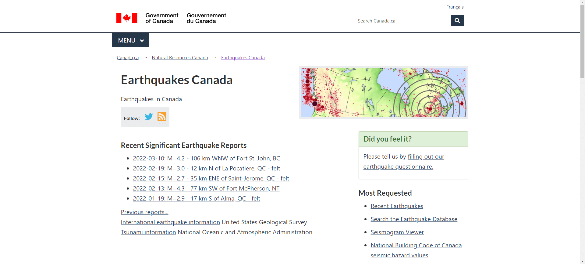
  link: http://www.earthquakescanada.nrcan.gc.ca/index-eng.php
  name: Earthquakes Canada
  desc: Earthquakes
  author: Login Required?No
- img: https://pics.landcover100.com/pics/image/DISASTER29.png
  link: http://www.ceri.memphis.edu/seismic/
  name: Center for Earthquake Research and Information  Earthquak
  desc: EarthquakesUS Only
  author: Login Required?No
- img: https://pics.landcover100.com/pics/image/DISASTER35.png
  link: https://www.fews.net/shapefiles
  name: USGS/USAID FEWS NET Download Shapefile Form
  desc: FamineShapefiles of livlihood zones
  author: Login Required?No
- img: https://pics.landcover100.com/pics/image/DISASTER40.png
  link: http://floodobservatory.colorado.edu/
  name: Dartmouth Flood Observatory
  desc: Flooding
  author: Login Required?No
- img: https://pics.landcover100.com/pics/image/DISASTER45.png
  link: http://www.nhc.noaa.gov/gis/
  name: NOAA National Hurricane Center Data in GIS Formats
  desc: HurricaneTracks, surge predictions, wind - downloadable f
  author: Login Required?No
- img: https://pics.landcover100.com/pics/image/DISASTER48.png
  link: http://earthdata.nasa.gov/data/nrt-data/hazards-and-disas
  name: NASA Hazards and Disasters WMS
  desc: Smoke Plumes, Ash Plumes, Dust Storms, Pollution, Severe
  author: Login Required?No
- img: https://pics.landcover100.com/pics/image/DISASTER50.png
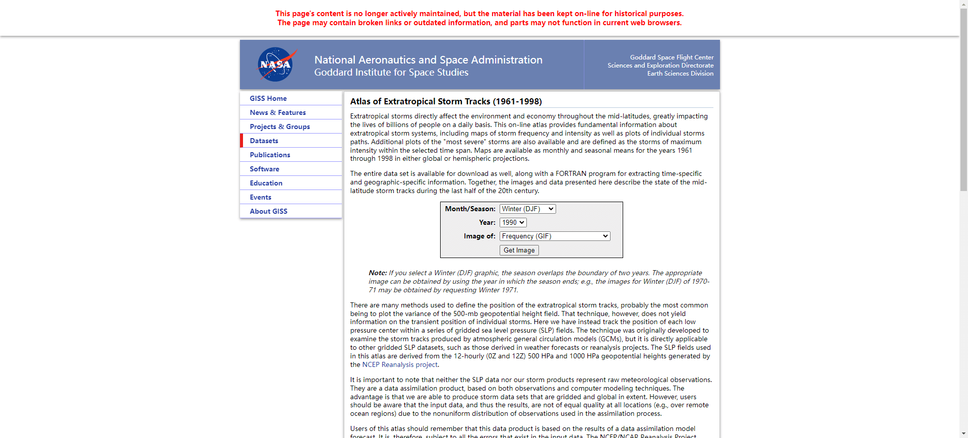
  link: http://data.giss.nasa.gov/stormtracks/
  name: Atlas of Extratropical Storm Tracks (1961-1998)
  desc: Storms (extratropical)Downloadable storm tracks
  author: Login Required?No
- img: https://pics.landcover100.com/pics/image/DISASTER54.png
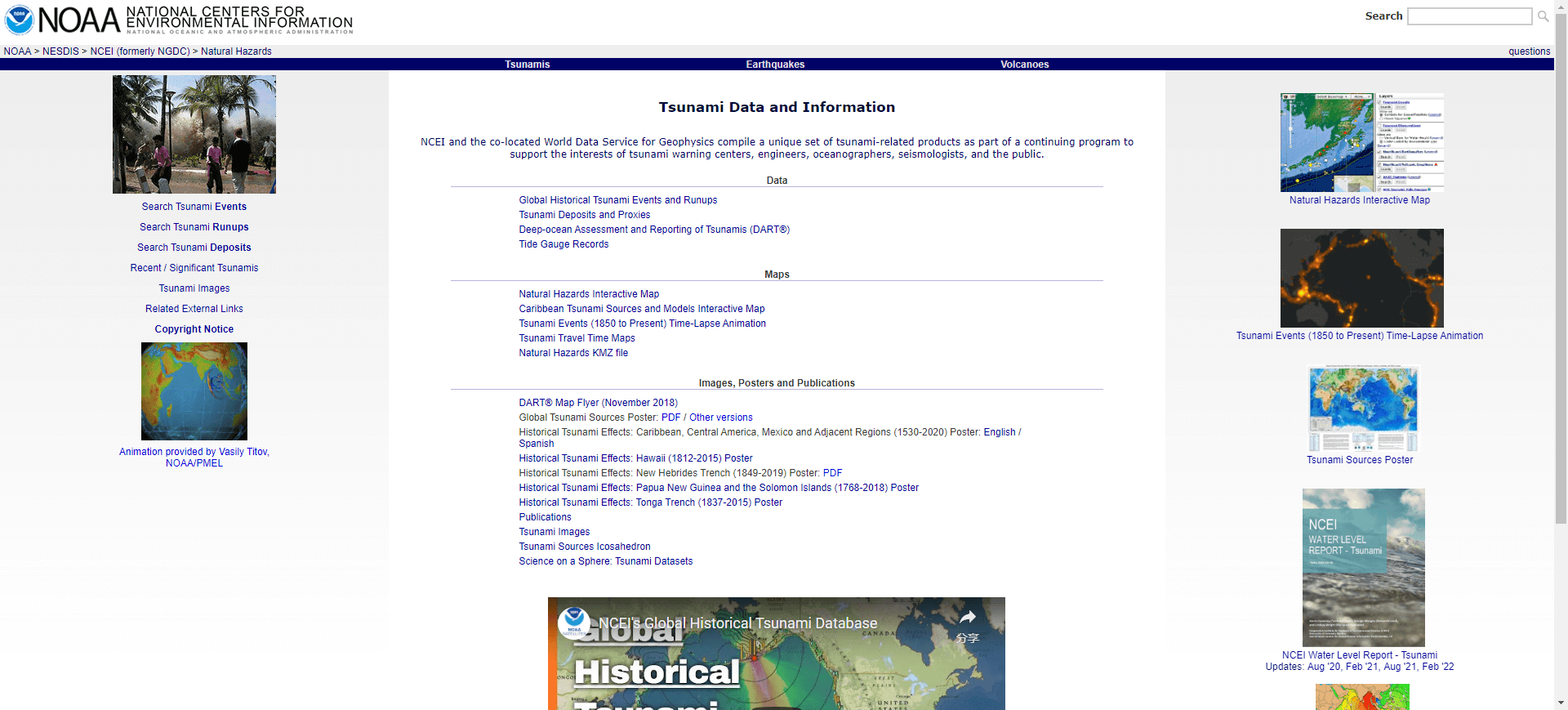
  link: http://www.ngdc.noaa.gov/hazard/tsu.shtml
  name: NGDC Tsunami Database
  desc: Tsunami
  author: Login Required?No
- img: https://pics.landcover100.com/pics/image/DISASTER57.png
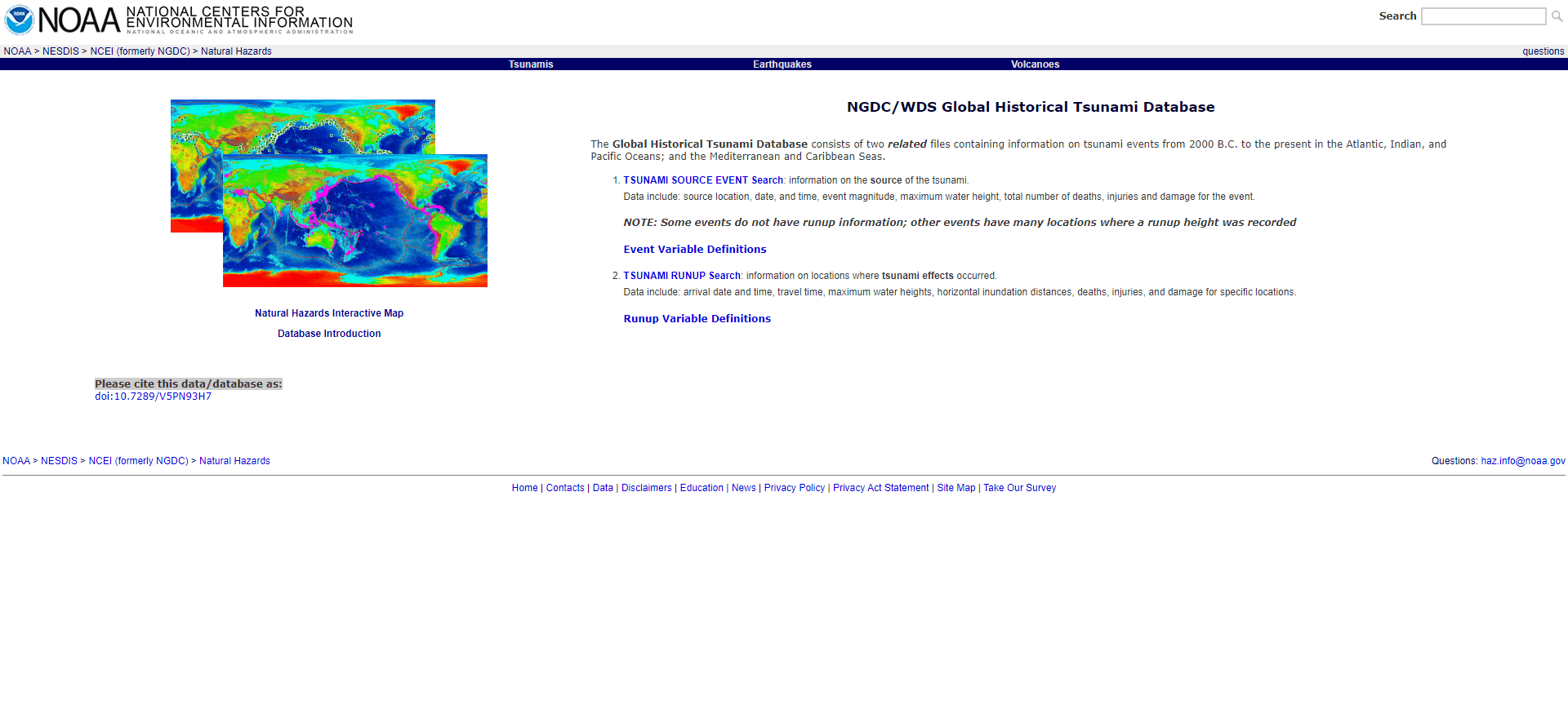
  link: http://www.ngdc.noaa.gov/hazard/tsu_db.shtml
  name: NOAA/WDC Global Historical Tsunami Database at NGDC
  desc: Tsunami
  author: Login Required?No
- img: https://pics.landcover100.com/pics/image/DISASTER58.png
  link: http://www.wovo.org/observatories/
  name: International Civil Aviation Organization (ICAO) Volcanic
  desc: Volcanic AshLinks to observatories -data not downloable?
- img: https://pics.landcover100.com/pics/image/DISASTER63.png
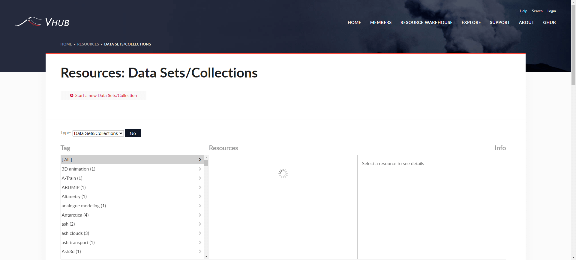
  link: http://vhub.org/resources/datasetscollections
  name: VHub - Cyberinfrastructure for collaborative volcano rese
  desc: VolcanoRepository of data from volcanic experiments, mode
  author: Login Required?Yes for some data
- img: https://pics.landcover100.com/pics/image/DISASTER65.png
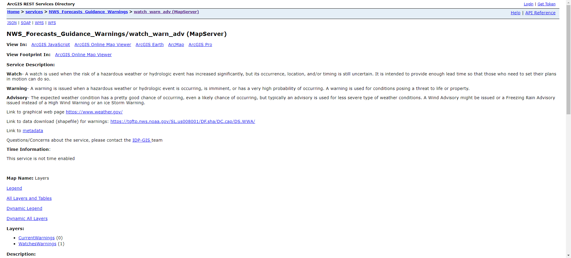
  link: https://idpgis.ncep.noaa.gov/arcgis/rest/services/NWS_For
  name: NOAA Weather Warnings, Watches, Advisories, and Statement
  desc: Weather Warnings and AdvisoriesESRI Map Service
  author: Login Required?No
- img: https://pics.landcover100.com/pics/image/DISASTER66.png
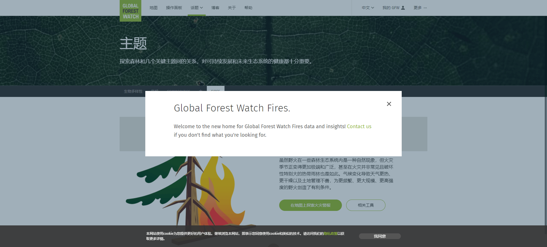
  link: http://fires.globalforestwatch.org/#v=data&x=102.79&y=0.8
  name: Global Forest Watch Fires
  desc: WildfiresInteractive map app and data download (some as p download_peatland_indonesia.html for Indonesia data
  author: Login Required?No
- img: https://pics.landcover100.com/pics/image/DISASTER70.png
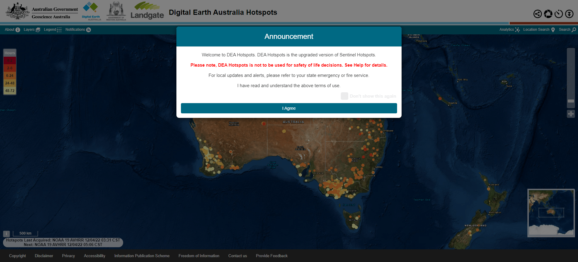
  link: http://sentinel.ga.gov.au/acres/sentinel/index.shtml
  name: SENTINEL
  desc: WildfiresAustralia only, 'snapshots' of fire hotspots; ca
- img: https://pics.landcover100.com/pics/image/DISASTER71.png
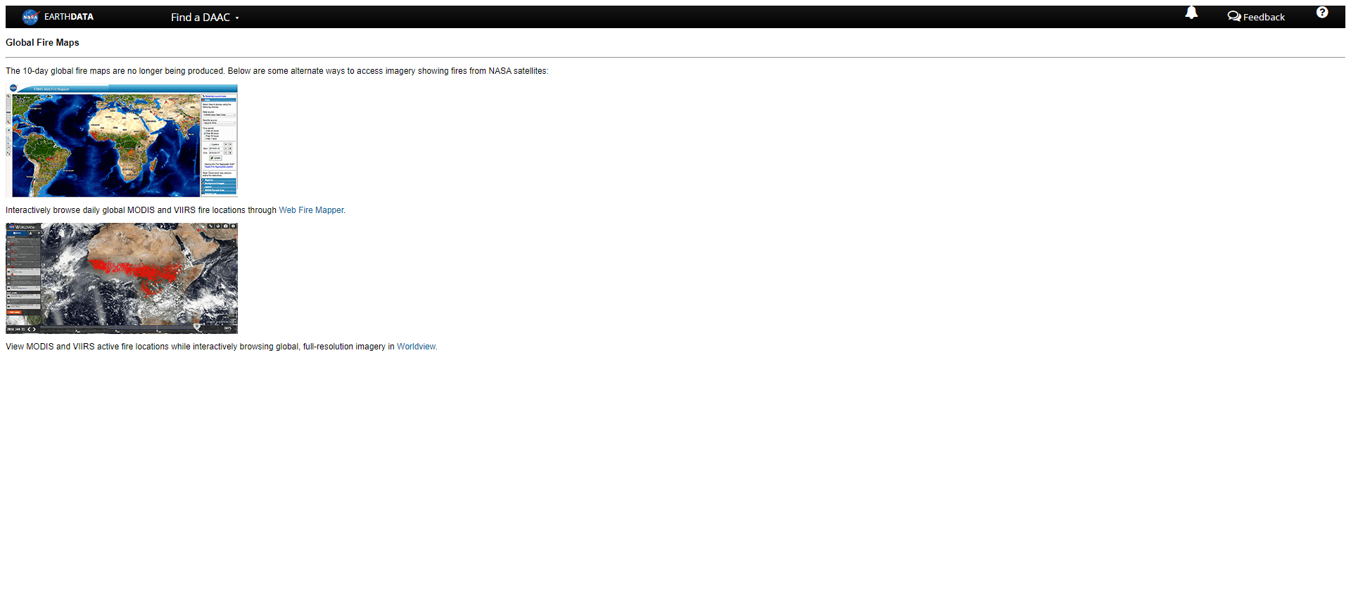
  link: http://lance-modis.eosdis.nasa.gov/cgi-bin/imagery/firema
  name: NASA Global Fire Maps
  desc: WildfiresJPEG and GIFF
  author: Login Required?No
- img: https://pics.landcover100.com/pics/image/DISASTER72.png
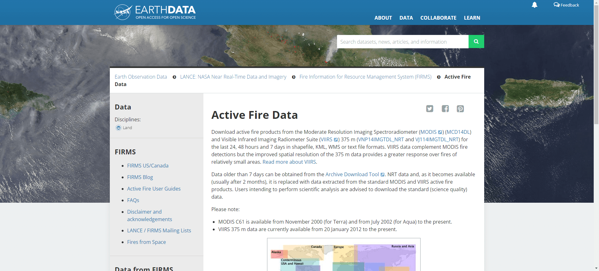
  link: http://earthdata.nasa.gov/data/nrt-data/firms/active-fire
  name: NASA's Earth Observing System Data and Information Syste
  desc: WildfiresDownloadable fire/hotspot observations .shp or .
  author: Login Required?No
导航表格 有一些网站是没有加载出来的,就没有做成贴片。更详细的信息见下表:
| Name | Web Address | Login Required? | Disaster Type | Notes |
|---|---|---|---|---|
| World Glacier Monitoring Service (WGMS) | http://www.wgms.ch/ | No | Climate Change | Metadata browser; jpg/pdf maps of fluctuations of glaciers |
| World Glacier Inventory (WGI) | http://nsidc.org/data/glacier_inventory/index.html | No | Climate Change | Inventory of "...130,000 glaciers...parameters include geographic location, area, length, orientation, elevation, and classification." |
| IceBridge Data Portal | http://nsidc.org/icebridge/portal/ | No | Climate Change | |
| National Snow and Ice Data Center Data Pool (ftp) | http://nsidc.org/data/data_pool/index.html | No | Climate Change | FTP access to NSIDC Earth Observing System data: AMSR-E, Aquarius, ICESat/GLAS, MODIS, and NISE; direct link: ftp://n5eil01u.ecs.nsidc.org/SAN |
| Sea Ice Index data archive | http://nsidc.org/data/seaice_index/archives.html | Climate Change | ||
| Spatialities Sea Rise Maps | http://spatialities.com/searisemaps/bay-of-la/ | No | Climate Change | Model images for 3 US cities (no data) |
| JPL Tropical Cyclone Information System | http://tropicalcyclone.jpl.nasa.gov/hurricane/main.jsp | No | Cyclone | To recreate tracks, use "get tracks" button to get thelat/lon out of the popup |
| International Best Track Archive for Climate Stewardship (IBTrACS) | http://www.ncdc.noaa.gov/oa/ibtracs/ | Yes | Cyclone | tropical cyclone best track data |
| Columbia University Natural Disaster Hotspots | http://www.ldeo.columbia.edu/chrr/research/hotspots/coredata.html | No | Cyclone, Drought, Earthquake, Flood, Landslide and Volcano | |
| UNEP-GRID Global Risk Data Platform | http://preview.grid.unep.ch/index.php?preview=home&lang=eng | No | Cyclones, Droughts, Earthquakes, Fires, Floods, Landslides, Tsunamis, and Volcanos | |
| Global Risk Data Platform Downloads | http://preview.grid.unep.ch/index.php?preview=data&lang=eng | No | Cyclones, droughts, earthquakes, Fires, Floods, Landslides, Tsunamis, Volcanos | Also data on multiple hazard risk, GDP, and Urban Exposure |
| Earthquakes Around the World (Year 2000) | http://spatialnews.geocomm.com/features/quakes2000/ | No | Earthquakes | see also http://earthquake.usgs.gov/regional/neic/ and http://earthquake.usgs.gov/data/ |
| USGS Earthquake Lists and Maps By Country | http://earthquake.usgs.gov/earthquakes/eqarchives/ | No | Earthquakes | See also http://earthquake.usgs.gov/earthquakes/dyfi and http://earthquake.usgs.gov/earthquakes/eqarchives/epic/ |
| USGS Prompt Assessment of Global Earthquakes for Response (PAGER) | http://earthquake.usgs.gov/earthquakes/pager | No | Earthquakes | Sign up for earthquake notifications (email, text) https://sslearthquake.usgs.gov/ens/ |
| USGS Earthquake Hazards Program Google Earth Files | http://earthquake.usgs.gov/learn/kml.php | No | Earthquakes | Google Earth/KML Files; see latest earthquake feeds and data here: http://earthquake.usgs.gov/earthquakes/catalogs/ (Atom, RSS, CSV) |
| Euro-Mediterranean Seismological Centre | http://www.emsc-csem.org/#2 | Earthquakes | Earthquake locations (previous two-weeks) downloadable as KML file; OGC service information http://www.seismicportal.eu/jetspeed/portal/web-services.psml | |
| Philippine Institute of Volcanology and Seismology (PHIVOLCS) Tsunami Bulletin | http://earthquake.phivolcs.dost.gov.ph/update_SOEPD/Tsunami_Latest.html | No | Earthquakes | Table of lat/long, depth, date and magnitude of earthquakes |
| British Geological Survey | http://quakes.bgs.ac.uk/ | No | Earthquakes | Table of lat/long, depth, date and magnitude of earthquakes |
| Distribution of Active Faults and Trenches in the Philippines | http://www.phivolcs.dost.gov.ph/index.php?option=com_content&view=article&id=78&Itemid=500024 | No | Earthquakes | PDF maps by region, includes roads and populated places; has gridline for georeferencing |
| Global Seismic Hazard Map | http://www.seismo.ethz.ch/static/gshap/ | No | Earthquakes | Download map or raw data (zipped grid). Direct data download:http://www.seismo.ethz.ch/gshap/gshpub.zip |
| Earthquake Data Portal | http://www.seismicportal.eu/jetspeed/portal/ | No | Earthquakes | Downloadable data, visualizers, charts, and historic data from Europe and its surroundings |
| USGSted | http://twitter.com/#!/USGSted | No | Earthquakes | A prototype system being developed by the USGS to track Twitter responses to earthquakes |
| USGS National Strong-Motion Project Data Sets | http://nsmp.wr.usgs.gov/data.html | no | Earthquakes | 1986- Current Earthquake Time Series Data and 1933 - 1986 North and Central American Earthquakes |
| Earthquakes Canada | http://www.earthquakescanada.nrcan.gc.ca/index-eng.php | No | Earthquakes | |
| UC LBerkeley SeismiQuiery | http://quake.geo.berkeley.edu/SeismiQuery/ | No | Earthquakes | |
| Flinn-Engdahl (F-E) seismic and geographical regionalization scheme | http://earthquake.usgs.gov/learn/topics/flinn_engdahl.php | No | Earthquakes | Divides the world into earthquake regions - seismologists often associate seismological data with these regions. |
| Advanced National Seismic System (ANSS) Global Earthquake Catalog | http://www.quake.geo.berkeley.edu/anss/catalog-search.html | No | Earthquakes | Available as KML. See also earthquake maps and lists at http://www.ncedc.org/anss/maps/ |
| Center for Earthquake Research and Information Earthquake Data | http://www.ceri.memphis.edu/seismic/ | No | Earthquakes | US Only |
| ShakemapsNT (near real time) | http://tmservices1.esri.com/arcgis/rest/services/LiveFeeds/ShakemapsNT/MapServer | No | Earthquakes | ESRI Map Service |
| Shakemaps Last 90 Days) | http://tmservices1.esri.com/arcgis/rest/services/LiveFeeds/Shakemap/MapServer | No | Earthquakes | ESRI Map Service |
| Preferred Magnitudes of Selected Significant Earthquakes | http://earthquake.usgs.gov/research/data/sign_eqs.doc | No | Earthquakes | Word file with Lat/long; Last revised 12 January2010; see http://earthquake.usgs.gov/earthquakes/world/10_largest_world.php for largest earthquakes since 1900 2010. Selected earthquakes from 1556-2009 |
| WHO e-atlas of Disaster Risk | http://www.who-eatlas.org/africa/# (opens new window) | No | Earthquakes, Flood, Landslides, Heat Waves, Windspeeds | Disaster risk assessment models as PDF files - information on where and what types of natural hazards may occur |
| Open Hazard Map | http://www.openhazards.com/hazards | Earthquakes, Wild Fires, Flood Zones, Radon Hazards | Proposed fork of OpenStreetMap that documents natural hazard data not stored in the main OSM repository | |
| USGS/USAID FEWS NET Download Shapefile Form | https://www.fews.net/shapefiles | No | Famine | Shapefiles of livlihood zones |
| US National Weather Service Data Shapefiles | http://www.nws.noaa.gov/gis/shapepage.htm | Flood, hurricane, drought, fire | Includes flood, weather and drought forecasts, hurricane tracks, fires, current warnings and hazards | |
| Cloud to Street Dynamic Flood and Vunerability Mapping | http://www.cloudtostreet.info/ | Flooding | Website says maps are avaiable for download; not clear how or if that includes raw data. | |
| Global Flood Alert System (GFAS) | http://gfas.internationalfloodnetwork.org/gfas-web/ | No | Flooding | downloadable rainfall data by zone as text file; daily precipitation in mm/day for each 0.25 degree grid |
| USGS Flood Data Portal | http://waterwatch.usgs.gov/new/index.php?id=ww | , | Flooding | US Only; Summary of recent flooding (map and tabular data) http://waterwatch.usgs.gov/new/index.php?id=wwdp2_2; Alerts available http://ga.water.usgs.gov/streamail/streamail-help.html |
| Dartmouth Flood Observatory | http://floodobservatory.colorado.edu/ | No | Flooding | |
| InaSAFE (Indonesia Scenario Assessment for Emergencies) | http://www.inasafe.org/ | Flooding | Quantum GIS plugin that enables users to perform risk scenario analysis of natural disaster events | |
| NASA/TRMM | http://trmm.gsfc.nasa.gov/ | Flooding | ||
| NOAA / NHC / CPHC/ JTWC Active Hurricanes | http://tmservices1.esri.com/arcgis/rest/services/LiveFeeds/Hurricane_Active/MapServer | No | Hurricane | ESRI Map Service |
| NOAA / NHC / CPHC/ JTWC Recent Hurricanes | http://tmservices1.esri.com/arcgis/rest/services/LiveFeeds/Hurricane_Recent/MapServer | No | Hurricane | ESRI Map Service |
| NOAA National Hurricane Center Data in GIS Formats | http://www.nhc.noaa.gov/gis/ | No | Hurricane | Tracks, surge predictions, wind - downloadable files and RSS and KML feeds |
| Unisys Weather | http://weather.unisys.com/hurricane/index.php | No | Hurricane / Cyclone | |
| Historic hurricane tracks | http://www.csc.noaa.gov/digitalcoast/tools/hurricanes | Hurricane Tracks | ||
| NASA Hazards and Disasters WMS | http://earthdata.nasa.gov/data/nrt-data/hazards-and-disasters | No | Smoke Plumes, Ash Plumes, Dust Storms, Pollution, Severe Storms, Shipping, Fisheries, Transportation (Land), Fires, Floods, Drought, Vegetation, Agriculture, Oil Spill | Imagery served as WMS classified by hazard type |
| Tropical Storm Risk | http://www.tropicalstormrisk.com/ | Storm info bulletins | ||
| Atlas of Extratropical Storm Tracks (1961-1998) | http://data.giss.nasa.gov/stormtracks/ | No | Storms (extratropical) | Downloadable storm tracks |
| Historic Tornado Tracks 1950-2010 (US Only) | http://market.weogeo.com/datasets/open_natural_disasters_historic_tornado_tracks_1950_2010.html?globalZoom=2&lat=49.2986024088&lon=-121.167925825 | Yes | Tornados | |
| Joint Typhoon Warning Center | http://www.usno.navy.mil/JTWC/ | Tropical Cyclone | ||
| Humanitarian Early Warning Service | http://hewsweb.org/storms/ | Tropical Cyclone | ||
| NGDC Tsunami Database | http://www.ngdc.noaa.gov/hazard/tsu.shtml | No | Tsunami | |
| NOAA Pacific Tsunami Warning Center | http://ptwc.weather.gov/ | Tsunami | ||
| International Tsunami Information Center | http://itic.ioc-unesco.org/ | Tsunami | ||
| NOAA/WDC Global Historical Tsunami Database at NGDC | http://www.ngdc.noaa.gov/hazard/tsu_db.shtml | No | Tsunami | |
| International Civil Aviation Organization (ICAO) Volcanic Ash Advisory Centers | http://www.wovo.org/observatories/ | No | Volcanic Ash | Links to observatories -data not downloable? Another list:http://www.ssd.noaa.gov/VAAC/vaac.html |
| Global Volcanism Program | http://www.volcano.si.edu/world/ | No | Volcano | Downloadable Google Earth placemarks |
| USGS Volcano Status Map | http://volcanoes.usgs.gov/activity/index.php | Volcano | Sign up for earthquake notifications (email, text) http://volcanoes.usgs.gov/activity/status.php | |
| Preliminary Spreadsheet of Eruption Source Parameters for Volcanoes of the World (2009) | http://pubs.usgs.gov/of/2009/1133/ | No | Volcano | table of volcanos, lat/long, elevation, and erruption type in excel, txt, csv format - could be made spatial; Should be compared to SI Global Volcano List |
| Smithsonian Institute Global Volcano List | http://www.volcano.si.edu/world/globallists.cfm?listpage=googleearth | No | Volcano | Volcanoes thought to have been active in the last 10,000 years (Holocene) displaying a photo (when available), geographic data, and links to more information; as KML file. Volcano names and synonyms as excel worksheet. See http://www.volcano.si.edu/world/volcanocriteria.cfm#Data%20Sources for attribute defintions |
| VHub - Cyberinfrastructure for collaborative volcano research and risk mitigation | http://vhub.org/resources/datasetscollections | Yes for some data | Volcano | Repository of data from volcanic experiments, modeling, field work, GIS, hazard mapping or other related work |
| Philippine Institute of Volcanology and Seismology (PHIVOLCS) Active Volcanoes List | http://www.phivolcs.dost.gov.ph/index.php?option=com_content&view=article&id=57:active-volcanoes&catid=55&Itemid=114 | No | Volcano | Table of lat/long, elevation, date of last and total number of historical erruptions |
| NOAA Weather Warnings, Watches, Advisories, and Statements | https://idpgis.ncep.noaa.gov/arcgis/rest/services/NWS_Forecasts_Guidance_Warnings/watch_warn_adv/MapServer (opens new window) | No | Weather Warnings and Advisories | ESRI Map Service |
| Global Forest Watch Fires | http://fires.globalforestwatch.org/#v=data&x=102.79&y=0.86&l=10&lyrs=Active_Fires%3ABurn_Scar | No | Wildfires | Interactive map app and data download (some as pdf, some with links to data download); Burn scars mapped by Google Earth Engine, variety of sources for active and past fires; see also http://ngdc.noaa.gov/eog/viirs/ download_peatland_indonesia.html for Indonesia data |
| Fire Information for Resource Management System | http://firefly.geog.umd.edu/firms/ | No | Wildfires | |
| JRC Global Vegetative burnt area | http://bioval.jrc.ec.europa.eu/products/burnt_areas_gba2000/global2000.php | Yes | Wildfires | |
| Geospatial Multi-Agency Coordination Group (GeoMAC) | http://www.geomac.gov (opens new window) | No | Wildfires | US Only; can download KMZ files |
| SENTINEL | http://sentinel.ga.gov.au/acres/sentinel/index.shtml | No | Wildfires | Australia only, 'snapshots' of fire hotspots; can download in KML and GPX; for WFS, WMS see http://sentinel.ga.gov.au/acres/sentinel/wfs_wms.shtml |
| NASA Global Fire Maps | http://lance-modis.eosdis.nasa.gov/cgi-bin/imagery/firemaps.cgi | No | Wildfires | JPEG and GIFF |
| NASA's Earth Observing System Data and Information System (EOSDIS) FIRMS MODIS Archive Download Tool | http://earthdata.nasa.gov/data/nrt-data/firms/active-fire-data | No | Wildfires | Downloadable fire/hotspot observations .shp or .csv; see also downloadable FIRMS data at FAO http://www.fao.org/nr/gfims/en/ ; see also https://earthdata.nasa.gov/data/near-real-time-data/firms |
| Global Fire Monitoring Center (GFMC) | http://www.fire.uni-freiburg.de/ | Wildfires | Global Fire and Early Warning forecasts; see also other data sources at http://www.cefa.dri.edu/Other_Links/links_home.php#Data | |
| GFMC Wildland Fire Early Warning Portal | http://www.fire.uni-freiburg.de/fwf/fwf.htm | Wildfires | Links to Global, Regional and National Fire Weather and Climate Forecasts | |
| Wildfire activity | http://tmservices1.esri.com/arcgis/rest/services/LiveFeeds/Wildfire_Activity/MapServer | Wildfires | ESRI Map Service |
有问题,我来改改 (opens new window)
上次更新: 2022/10/17, 19:07:36


