 Other Portals OfInterest
- img: https://pics.landcover100.com/pics/image/OTHER2.png
  link: http://datasift.com/
  name: DataSift
  desc: Commercial service aggregate, filter and extract insights from social media (Twitter, Facebook, DIGG, Foursquare
- img: https://pics.landcover100.com/pics/image/OTHER8.png
  link: http://libraries.mit.edu/gis/data/findingaids/geonet-names/country-codes.txt
  name: NGA GeoNet Two Letter Country Codes
  desc: globlal non-spatial
  author: Login Required?No
- img: https://pics.landcover100.com/pics/image/OTHER10.png
  link: http://www.radioreference.com/apps/audio/
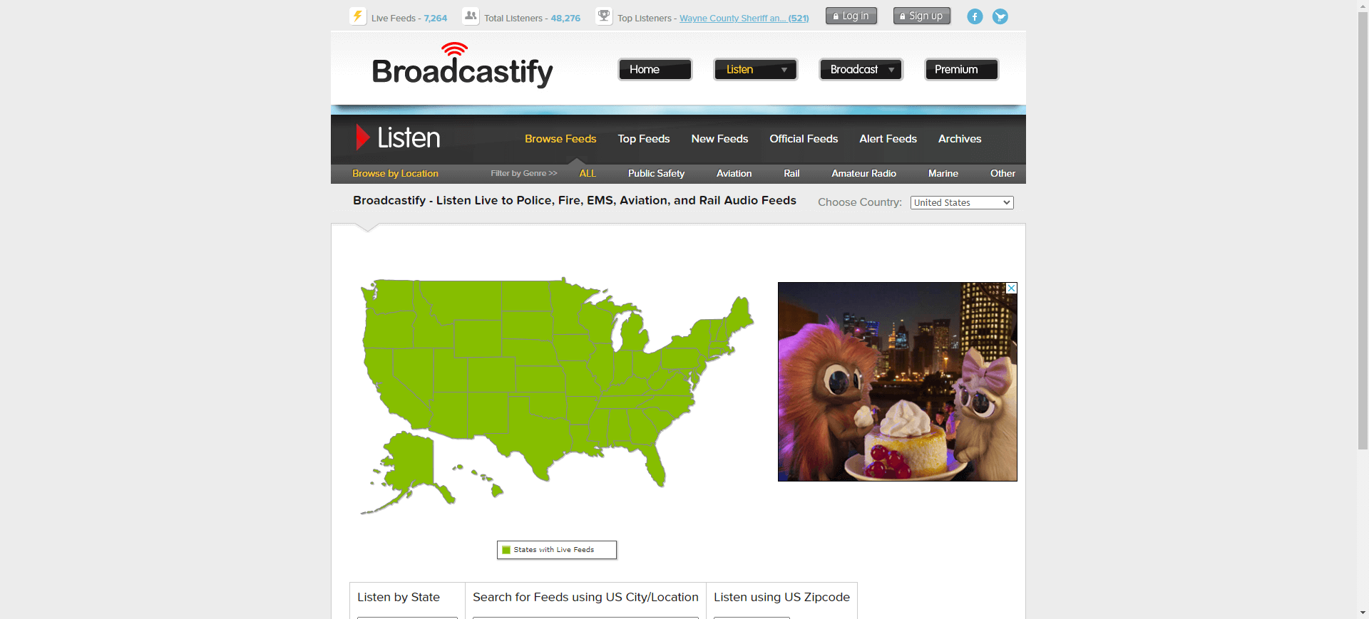
  name: RadioReference Live Audio Feeds (United States)
  desc: Audio feeds classfied by county - Live police, fire, ems, aircraft and radio feeds (US only)
  author: Login Required?No
- img: https://pics.landcover100.com/pics/image/OTHER27.png
  link: http://www.juiceanalytics.com/writing/excel-geocoding-tool-v2
  name: Juice Analytics Excel Geocoding Tool
  desc: Free online geocoder (direct link http://media.juiceanalytics.com/downloads/Geocoding%20Tool%20v3.1.xls)
  author: N
导航表格 有一些网站是没有加载出来的,就没有做成贴片。更详细的信息见下表:
| Name | Web Address | Login Required? | Notes |
|---|---|---|---|
| Africa National Mapping Agencies | http://nma.agirn.org/index.php/agencies/registered_agencies | Names and contact details for registered official national mapping agencies - may or may not have websites or data available, link is currently not working | |
| DataSift | http://datasift.com/ | Yes (can see samples for free) | Commercial service: aggregate, filter and extract insights from social media (Twitter, Facebook, DIGG, Foursquare etc) in real-time; analysis can include maps of feed locations |
| Delicious GIS Resources | http://www.delicious.com/gis_resources/gisDataActual | No | see also data links on http://www.delicious.com/gis_resources/GIS_Data-Links |
| Emergency Management Live Feeds | http://resources.arcgis.com/gallery/file/local-government/details?entryID=BB9C8E61-1422-2418-A01B-06017F50FC43 | Template for live feed aggregation to ESRI stack | |
| InfoChimps | http://www.infochimps.com/ | Yes | |
| Linked Data Initiative | http://linkeddata.org/ | Yes | |
| Nations Online | http://www.nationsonline.org/oneworld/ | : click on maps – mostly embedded Google Earth Data but some PDF maps with other features; maps are very general and you can probably better sources elswhere | |
| NGA GeoNet Two Letter Country Codes | http://libraries.mit.edu/gis/data/findingaids/geonet-names/country-codes.txt | No | globlal non-spatial |
| Open Data Search | http://opendatasearch.org/ | No | |
| RadioReference Live Audio Feeds (United States) | http://www.radioreference.com/apps/audio/ | No | Audio feeds classfied by county - Live police, fire, ems, aircraft and radio feeds (US only) |
| Taginfo | http://taginfo.openstreetmap.org/about | Statistics about which tags are used in OSM database, how many people use those tags, where they are used, etc. Download stats or access through rest API | |
| USSTRATCOM Global Awareness Presentation Services (GAPS) | http://gapspub.ultra-prologic.com/ | No | Essentiall a feed of feeds. Silverlight based global situational awareness display - includes: map authoring, KML and GeoRSS feed, Gazetteer database (source: places from NGA and USGS, airports from DAFIF), alerts from groups like: Smithsonian/USGS Weekly Volcanic Activity Report, Pacific Tsunami Warning Center (PTWC) - Tsunami Alerts, Weather Underground Hurricane Tracks, GDACS, MODIS Fire Alerts, but also news injectors |
| Bityly BigML Bundle | http://bitly.com/bundles/bigmlcom/4 | No | This is a list of data bundles; Choose a bundle you are interested in (like "Open Data sources" or "International Bodies and Agencies data sources") then select to see either additional bundles or actual links to data sources. I should probably parse these bundles for relevant geodata. This blog post has more info: http://blog.bigml.com/2013/02/28/data-data-data-thousands-of-public-data-sources/ |
| Map Icons Collection | http://mapicons.nicolasmollet.com/ | over 700 free icons to use as POI placemarks in GE or GM; more POI sets here: http://mapicons.nicolasmollet.com/about/other-resources/ | |
| ISCGM Participants | http://www.iscgm.org/cgi-bin/fswiki/wiki.cgi?page=Participants | If you are looking for list of nationational mapping agencies | |
| UN Initiative on Global Geospatial Information Management List of Agencies | http://ggim.un.org/partners.html | If you are looking for list of nationational mapping agencies | |
| International Federation of Surveyors National Mapping Authorities List | http://www.fig.net/commission5/wg52/mapagencies.htm | If you are looking for list of nationational mapping agencies | |
| Union of Concerned Scientists Satellite Database | http://www.ucsusa.org/nuclear_weapons_and_global_security/solutions/space-weapons/ucs-satellite-database.html | Excel sheet has links to orbital data sources | |
| GeoNames feature codes | http://www.geonames.org/export/codes.html | ||
| CIA Factbook data in json | https://github.com/openmundi/factbook.json | I don't believe there are geocodes; may need to be attached to some other data to make spatial | |
| ArcGIS compatible OCHA icons can be found at | http://www.mapaction.org/resources/gis-resources.html | See also the Noun Project and this ebola response style guide https://docs.google.com/document/d/1iygXC9rDLfpvi1Rb3oaNQG_aQC0iQYVtG-pQ78Xadv4/edit# | |
| MapBox compatible OCHA icons can be found at | https://www.mapbox.com/maki/ (opens new window) | HOT uses this symbol set version | |
| The Guardian DataBlog | http://www.theguardian.com/data | ||
| IMF Data Mapper | http://www.imf.org/external/datamapper/index.php?db=FM | ||
| Country Details Webservice | http://www.webservicex.net/ws/WSDetails.aspx?WSID=17&CATID=7 | Get Currency, Curreny code, International Dialing code, ISO country code for all countries | |
| GPS Visualizer | http://www.gpsvisualizer.com/geocoder | N (api availble for large processes) | Free online geocoder |
| Juice Analytics Excel Geocoding Tool | http://www.juiceanalytics.com/writing/excel-geocoding-tool-v2 | N | Free online geocoder (direct link http://media.juiceanalytics.com/downloads/Geocoding%20Tool%20v3.1.xls) |
有问题,我来改改 (opens new window)
上次更新: 2022/10/17, 19:07:36


