 Physical
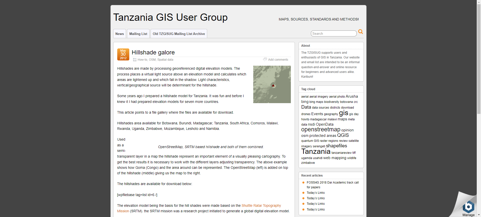
- img: https://pics.landcover100.com/pics/image/PHY1.png
  link: http://www.tzgisug.org/wp/hillshade-galore/
  name: African Hillshades from the Tanzania GIS User Group (SRTM based)
  desc: Botswana, Burundi, Madagascar, South Africa, Comoros, Malawi, Rwanda, Uganda, Zimbabwe, Mozambique, Leshoto and Namibia
  author: Login Required?No
- img: https://pics.landcover100.com/pics/image/PHY2.png
  link: http://www.ciesin.columbia.edu/afsis/mapclient/#
  name: African Soil Informtion Service DEM, TWI and SCA data
  desc: SRTM derived
  author: Login Required?No
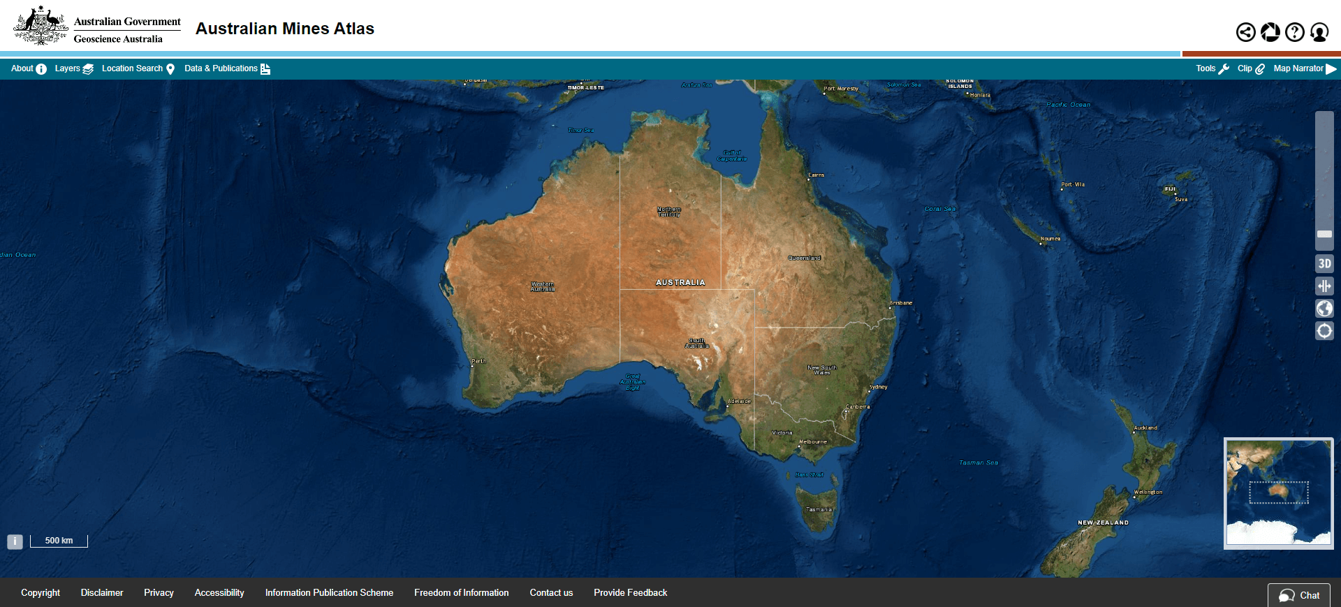
- img: https://pics.landcover100.com/pics/image/PHY4.png
  link: http://www.australianminesatlas.gov.au/
  name: Australian Mines Atlas
  desc: Mines
  author: Login Required?No
- img: https://pics.landcover100.com/pics/image/PHY9.png
  link: http://geographx.co.nz/what-we-do/map-data/
  name: Geographix
  desc: Elevation, DEM and Shoreline of New Zealand; Fee for Use
  author: Login Required?No
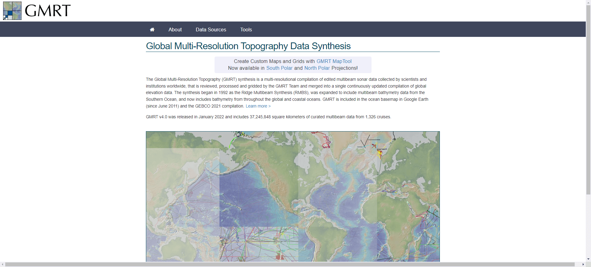
- img: https://pics.landcover100.com/pics/image/PHY12.png
  link: http://www.marine-geo.org/portals/gmrt/
  name: Global Multi-Resolution  Data Portal
  desc: Downloads in KMZ - also available as webservice http://www.marine-geo.org/tools/web_services.php
  author: Login Required?Yes
- img: https://pics.landcover100.com/pics/image/PHY15.png
  link: http://www.wri.org/publication/mining-and-critical-ecosystems/data-sets
  name: Mining and Critical Ecosystems Downloadable GIS datasets (World Resources Institute)
  desc: Includes ag and urban areas, evaporation, precipitation, mining
  author: Login Required?No
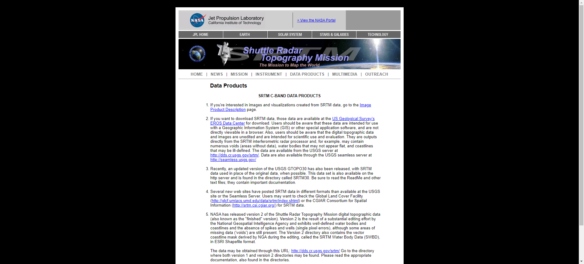
- img: https://pics.landcover100.com/pics/image/PHY16.png
  link: http://www2.jpl.nasa.gov/srtm/cbanddataproducts.html
  name: NASA JPL SRTM
  desc: 90m Elevation, alternate access through CGIAR http://srtm.csi.cgiar.org/
  author: Login Required?No
- img: https://pics.landcover100.com/pics/image/PHY17.png
  link: http://nsidc.org/data/dems/datasets.html
  name: National Snow and Ice Data Center DEMs
  desc: Includes global datasets and greenland
  author: Login Required?Yes
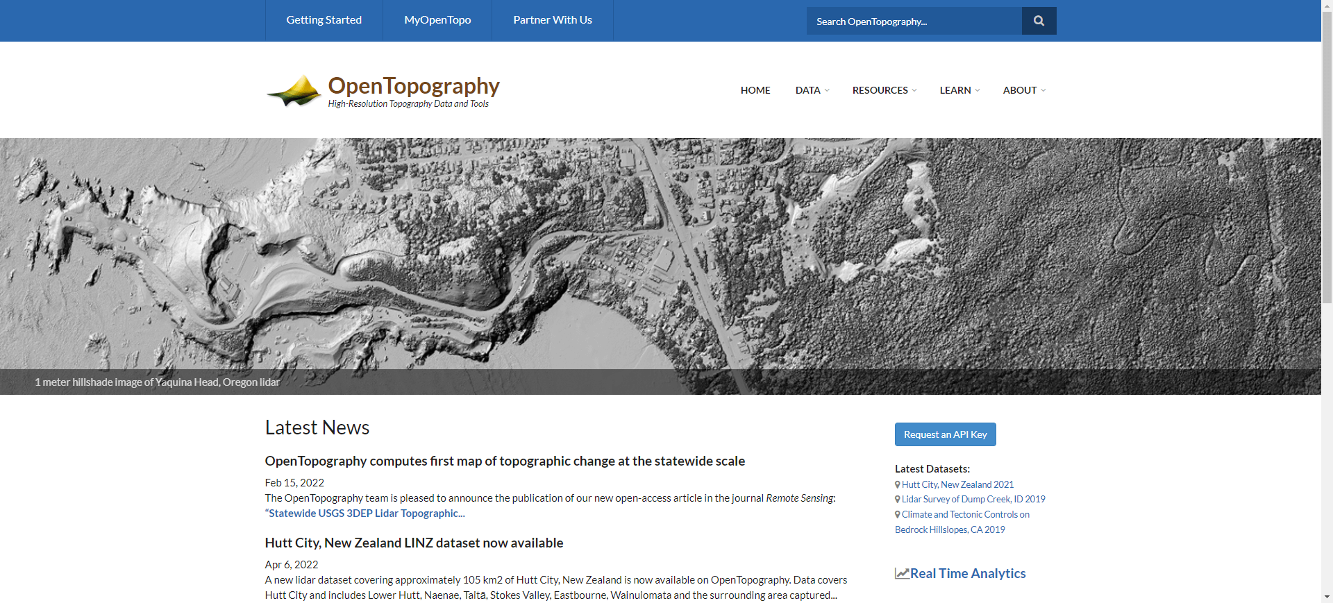
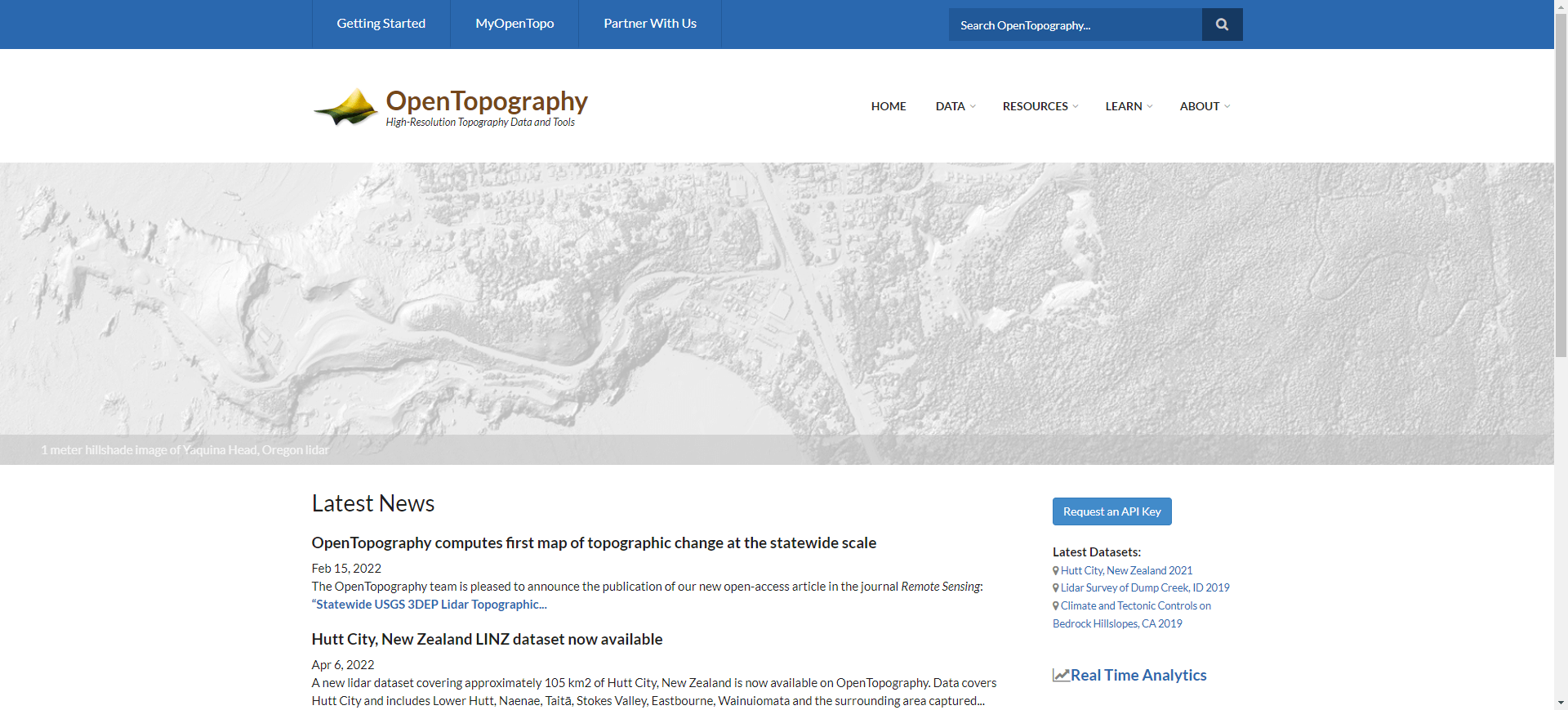
- img: https://pics.landcover100.com/pics/image/PHY21.png
  link: http://www.opentopography.org/index.php
  name: OpenTopography
  desc: US Only; lidar point cloud data, DEMs and Google Earth imagery files; also
- img: https://pics.landcover100.com/pics/image/PHY22.png
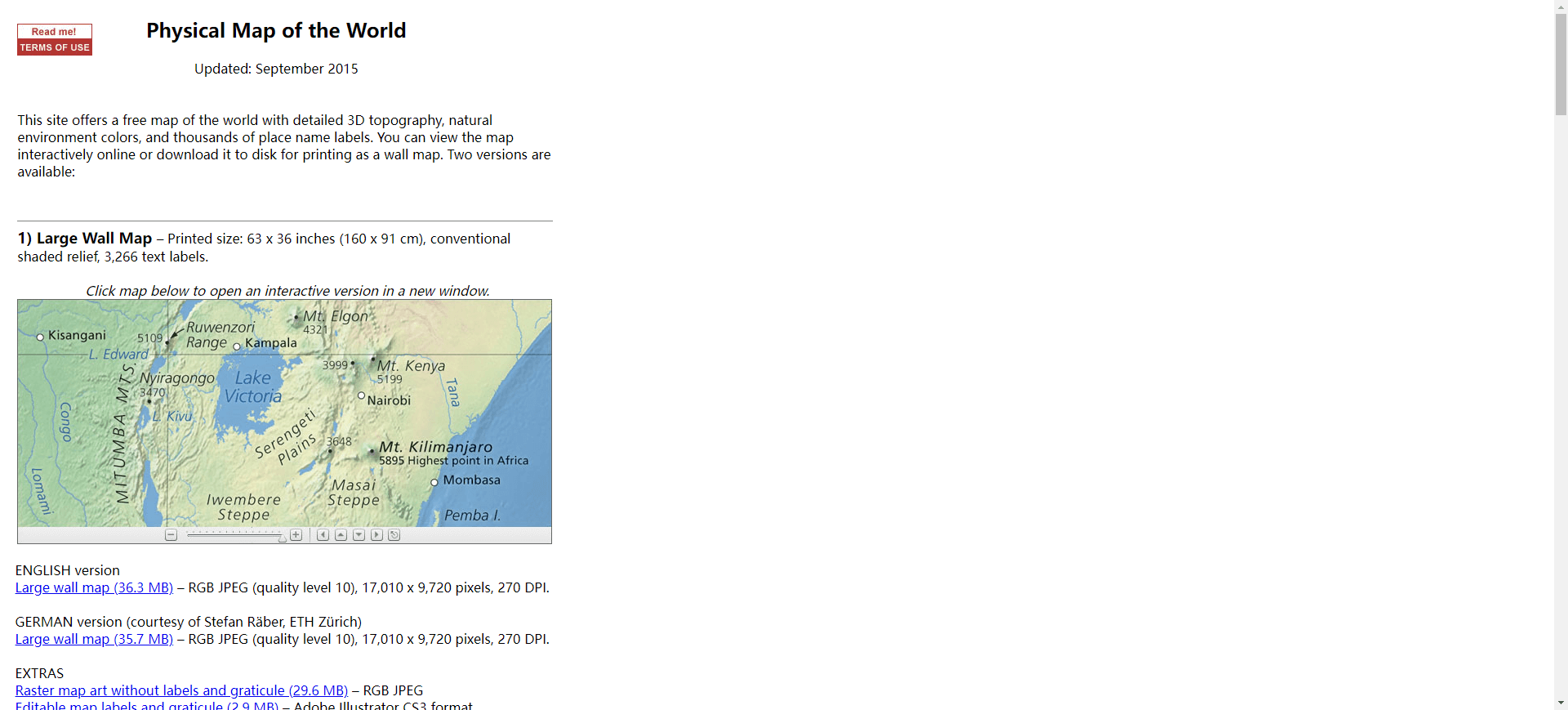
  link: http://www.shadedrelief.com/world/index.html
  name: Physical Map of the World
  desc: Includes place names; German version available Physische Karte der Erde (http://www.shadedrelief.com/world/index.html)
  author: Login Required?No
- img: https://pics.landcover100.com/pics/image/PHY23.png
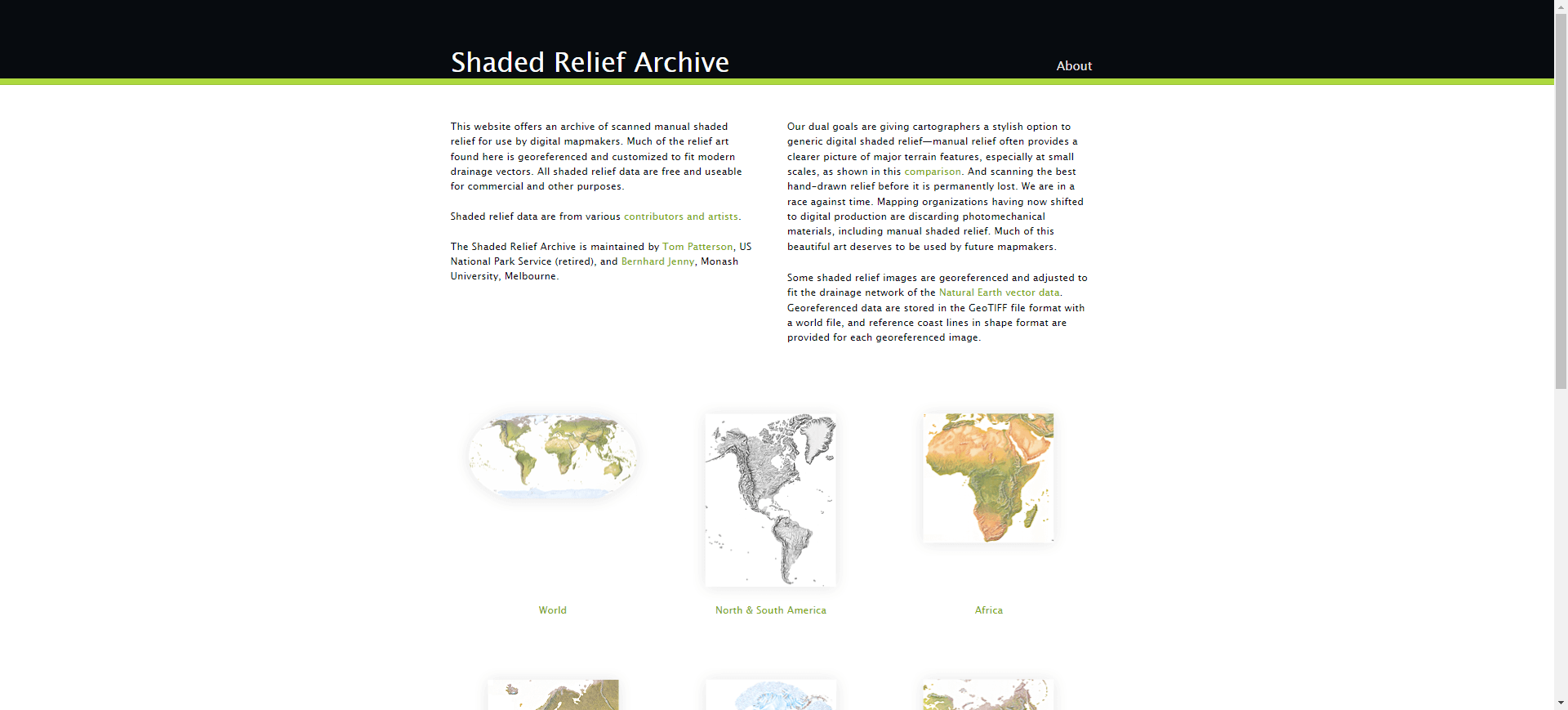
  link: http://www.shadedreliefarchive.com/
  name: Shaded Relief Archive
  desc: Hypsography
  author: Login Required?No
- img: https://pics.landcover100.com/pics/image/PHY25.png
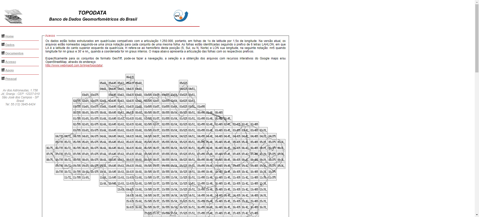
  link: http://www.dsr.inpe.br/topodata/acesso.php
  name: TOPODATA Index Map (Brazil)
  desc: local geomorphometric variables derived from SRTM data for Brazil - see http://www.webmapit.com.br/inpe/topodata/ for ma
  author: Login Required?No
- img: https://pics.landcover100.com/pics/image/PHY26.png
  link: http://continentalshelf.org/onestopdatashop/4204.aspx
  name: UNEP Shelf Programme Shelf OSDS geophysical data inventory map (ShelfOSDS)
  desc: outer limits of continental shelf; KMZ files available www.continentalshelf.org/kmz.aspx.
  author: Login Required?No
- img: https://pics.landcover100.com/pics/image/PHY27.png
  link: http://en.openei.org/datasets/node/309
  name: USGS Energy Resources Program World Petroleum Assessment (2000)
  desc:  see also http://en.openei.org/datasets/node/306 and http://energy.usgs.gov/OilGas/AssessmentsData/WorldPetroleumAssessm
  author: Login Required?No
- img: https://pics.landcover100.com/pics/image/PHY28.png
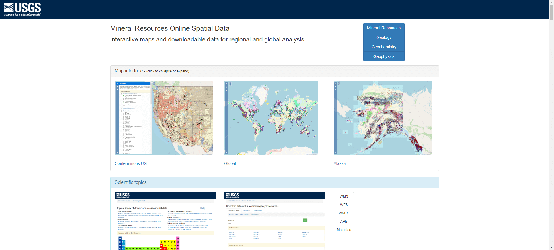
  link: http://mrdata.usgs.gov/
  name: USGS Mineral Resources On-Line Spatial Data
  desc: Mostly US, some global
  author: Login Required?No
- img: https://pics.landcover100.com/pics/image/PHY29.png
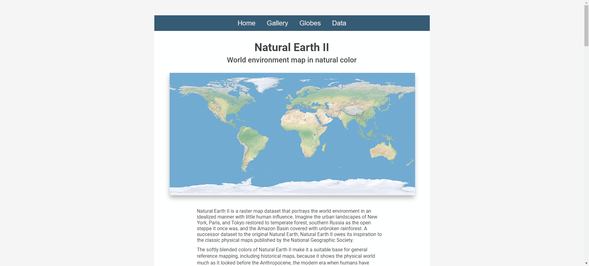
  link: http://www.shadedrelief.com/natural2/index.html
  name: World environment map in natural color
  desc: Idealized landscape
  author: Login Required?No
- img: https://pics.landcover100.com/pics/image/PHY30.png
  link: http://www.shadedrelief.com/world_relief/home.html
  name: World Relief Map with Cross-blended Hypsometric Tints
  desc: Hypsography
  author: Login Required?No
- img: https://pics.landcover100.com/pics/image/PHY31.png
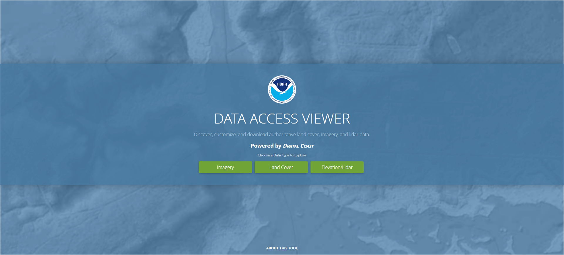
  link: https://coast.noaa.gov/dataviewer/
  name: NOAA Digital Coast Data Access Viewer
  desc: Lidar, imagery and land cover; US only
  author: Login Required?No
- img: https://pics.landcover100.com/pics/image/PHY32.png
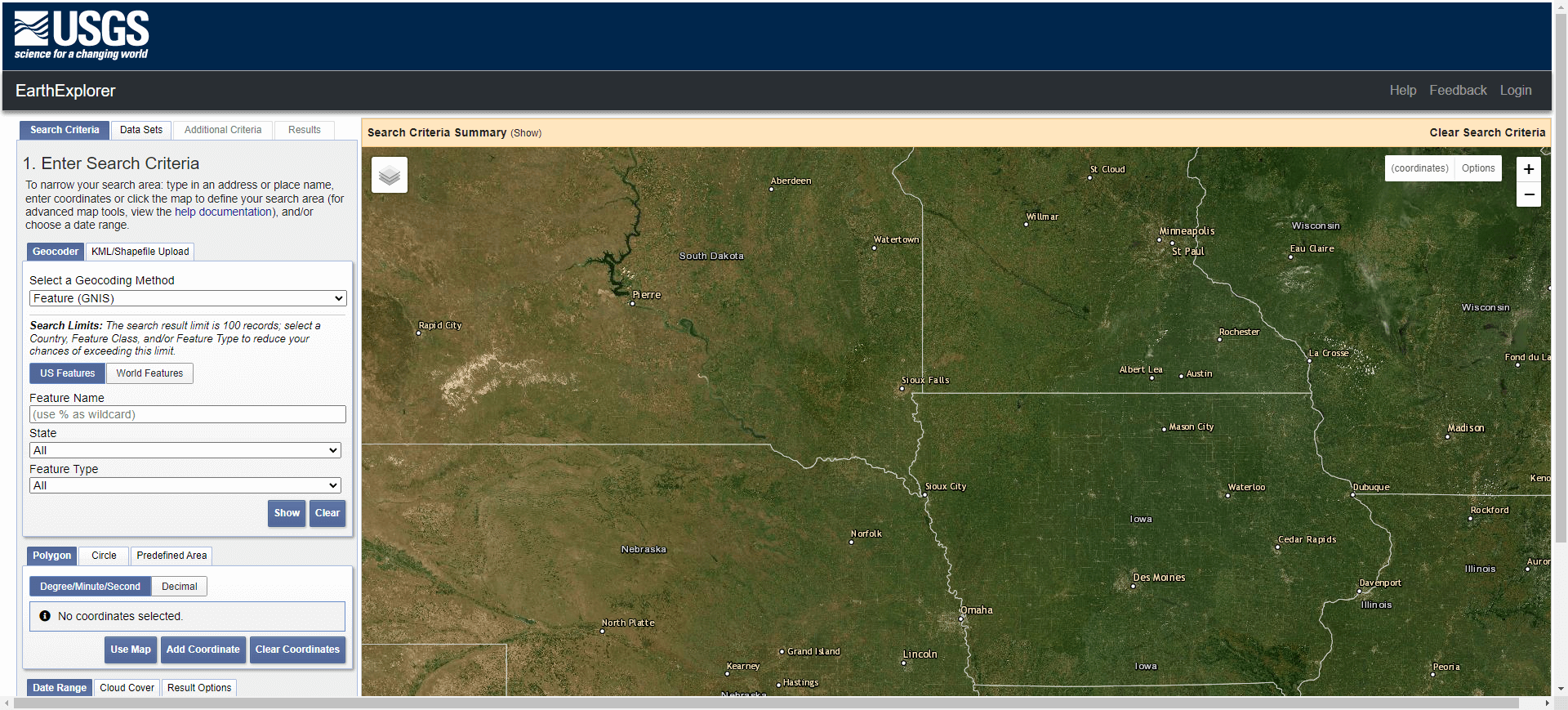
  link: http://earthexplorer.usgs.gov/
  name: USGS Earth Explorer
  desc: High-resolution elevation SRTM-2, previously only available for the United States.
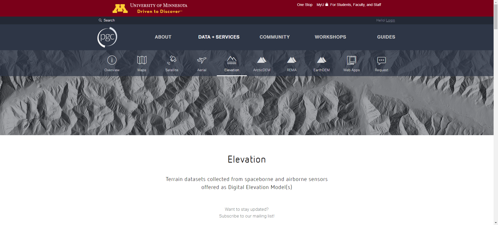
- img: https://pics.landcover100.com/pics/image/PHY34.png
  link: http://www.pgc.umn.edu/elevation
  name: The Ohio State University and the Polar Geospatial Center
  desc: 8 meter elevation for Anartica; also DEM for Nepal at http://repository.agic.umn.edu/elevation/dem/SETSM/Nepal/Kathmandu
  author: Login Required?No
- img: https://pics.landcover100.com/pics/image/PHY35.png
  link: http://www.opentopography.org/
  name: Open Topography
  desc: high spatial resolution topographic data and tools, including LiDAR; currently US focuses, also Mexico and Puerto Rico
  author: Login Required?No
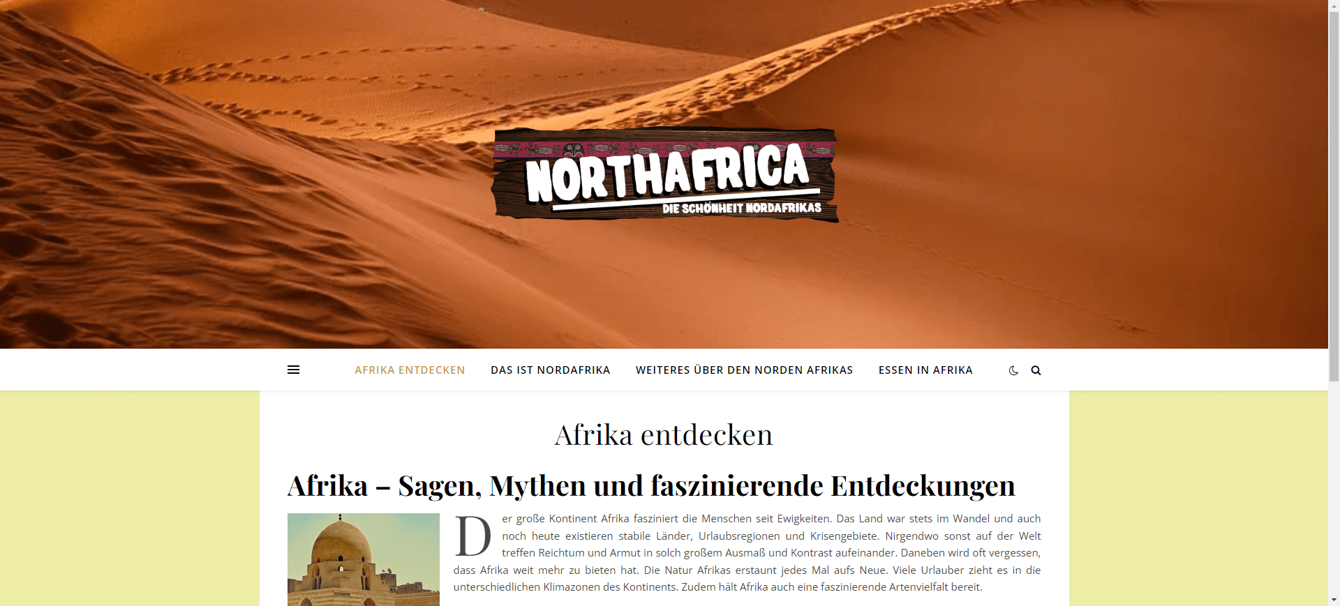
- img: https://pics.landcover100.com/pics/image/PHY36.png
  link: http://www.northafrica.de/countries.htm
  name: Geology of North Africa and Arabia
  desc: REGISTRY links to free and commercial sources of imagery and geologic data
  author: Login Required?No
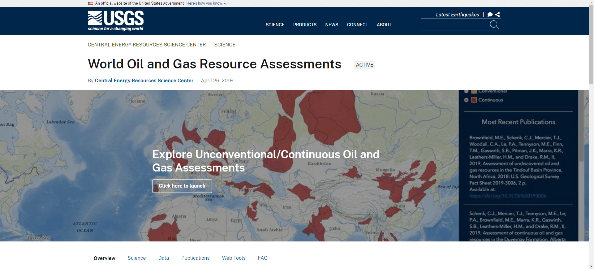
- img: https://pics.landcover100.com/pics/image/PHY37.png
  link: http://energy.usgs.gov/OilGas/AssessmentsData/WorldPetroleumAssessment.aspx
  name: World Petroleum Assessment Data
  desc: Includes petroleum assessment, geologica map data and geophysical dta for Afghanistan
  author: Login Required?No
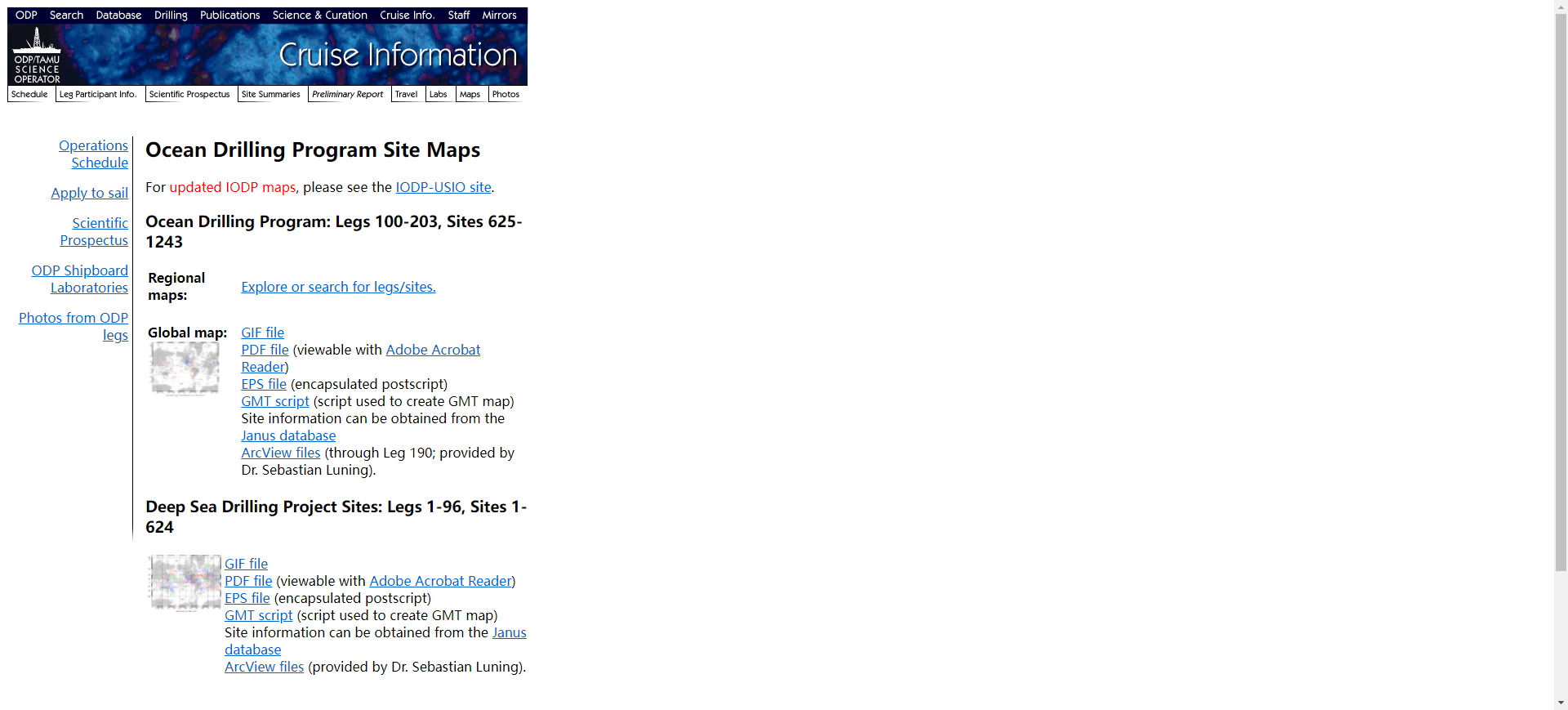
- img: https://pics.landcover100.com/pics/image/PHY38.png
  link: http://www-odp.tamu.edu/sitemap/sitemap.html
  name: International Ocean Discovery Program Ocean Drilling Program Site Maps
  desc: GIFs, PDF, EPS, GMT, Shapefiles; see also http://iodp.tamu.edu/scienceops/maps.html
  author: Login Required?No
导航表格 有一些网站是没有加载出来的,就没有做成贴片。更详细的信息见下表:
| Name | Web Address | Login Required? | Notes |
|---|---|---|---|
| African Hillshades from the Tanzania GIS User Group (SRTM based) | http://www.tzgisug.org/wp/hillshade-galore/ | No | Botswana, Burundi, Madagascar, South Africa, Comoros, Malawi, Rwanda, Uganda, Zimbabwe, Mozambique, Leshoto and Namibia |
| African Soil Informtion Service DEM, TWI and SCA data | http://www.ciesin.columbia.edu/afsis/mapclient/# (opens new window) | No | SRTM derived |
| Atlas of UK Marine Renewable Energy Resources | http://www.renewables-atlas.info/ | Yes, for downloadble layers | |
| Australian Mines Atlas | http://www.australianminesatlas.gov.au/ | No | Mines |
| British Columbia Geological Survey | http://www.empr.gov.bc.ca/MINING/GEOSCIENCE/Pages/default.aspx | No | Geology |
| CleanTOPO2 | http://www.shadedrelief.com/cleantopo2/index.html | No | Combined bathymetry and elevation |
| Earth System Atlas Data Download Page | http://earthsystematlas.sr.unh.edu/download/index.html | No | Includes river direction and order |
| General Bathymetric Chart of the Oceans (GEBCO) | http://www.bodc.ac.uk/products/web_services/gebco_wms/ | No | |
| Geographix | http://geographx.co.nz/what-we-do/map-data/ | No | Elevation, DEM and Shoreline of New Zealand; Fee for Use |
| Geoscience Data Journal | http://onlinelibrary.wiley.com/journal/10.1002/%28ISSN%292049-6060/homepage/ProductInformation.html?doi=10.1002%2F%28ISSN%292049-6060&originUrl=%2Fadvanced%2Fsearch%2Fresults&simpleSearchError=Please+enter+a+search+term (opens new window) | Open Access journal that publishes Data Articles documenting collected datasets that have been deposited in approved data centres. No articles or online presence as of 05Sept2012 | |
| Global Land One-kilometer Base Elevation (GLOBE) | http://www.ngdc.noaa.gov/mgg/topo/globe.html | No | |
| Global Multi-Resolution Data Portal | http://www.marine-geo.org/portals/gmrt/ | Yes | Downloads in KMZ - also available as webservice http://www.marine-geo.org/tools/web_services.php |
| GTOPO30 | http://webgis.wr.usgs.gov/globalgis/gtopo30/gtopo30.htm | No | Global 30 m DEM; gif format with world file |
| IPA Circumartic Permafrost And Ground Ice Map | http://www.grida.no/prog/polar/ipa/index.htm | No | Landcover (Permafrost) |
| Mining and Critical Ecosystems Downloadable GIS datasets (World Resources Institute) | http://www.wri.org/publication/mining-and-critical-ecosystems/data-sets | No | Includes ag and urban areas, evaporation, precipitation, mining |
| NASA JPL SRTM | http://www2.jpl.nasa.gov/srtm/cbanddataproducts.html | No | 90m Elevation, alternate access through CGIAR http://srtm.csi.cgiar.org/ |
| National Snow and Ice Data Center DEMs | http://nsidc.org/data/dems/datasets.html | Yes | Includes global datasets and greenland |
| NGA Hydrographic and Bathymetric Data | https://www1.nga.mil/ProductsServices/NauticalHydrographicBathymetricProduct/Pages/default.aspx | Combined bathymetry and hydrography | |
| NOAA National Geophysical Data Center | http://www.ngdc.noaa.gov/ngdc.html | No | |
| Open | http://www.open.org/index.php | US Only | |
| OpenTopography | http://www.opentopography.org/index.php | No - but more options available to account holders | US Only; lidar point cloud data, DEMs and Google Earth imagery files; also extents with metadata and links to data in other lidar data centers |
| Physical Map of the World | http://www.shadedrelief.com/world/index.html | No | Includes place names; German version available: Physische Karte der Erde (http://www.shadedrelief.com/world/index.html) . |
| Shaded Relief Archive | http://www.shadedreliefarchive.com/ | No | Hypsography |
| SRTM30 Plus | http://topex.ucsd.edu/WWW_html/srtm30_plus.html | ||
| TOPODATA Index Map (Brazil) | http://www.dsr.inpe.br/topodata/acesso.php | No | local geomorphometric variables derived from SRTM data for Brazil - see http://www.webmapit.com.br/inpe/topodata/ for map index |
| UNEP Shelf Programme Shelf OSDS geophysical data inventory map (ShelfOSDS) | http://continentalshelf.org/onestopdatashop/4204.aspx | No | outer limits of continental shelf; KMZ files available: www.continentalshelf.org/kmz.aspx. |
| USGS Energy Resources Program World Petroleum Assessment (2000) | http://en.openei.org/datasets/node/309 | No | see also http://en.openei.org/datasets/node/306 and http://energy.usgs.gov/OilGas/AssessmentsData/WorldPetroleumAssessment.aspx |
| USGS Mineral Resources On-Line Spatial Data | http://mrdata.usgs.gov/ | No | Mostly US, some global |
| World environment map in natural color | http://www.shadedrelief.com/natural2/index.html | No | Idealized landscape |
| World Relief Map with Cross-blended Hypsometric Tints | http://www.shadedrelief.com/world_relief/home.html | No | Hypsography |
| NOAA Digital Coast Data Access Viewer | https://coast.noaa.gov/dataviewer/ (opens new window) | No | Lidar, imagery and land cover; US only |
| USGS Earth Explorer | http://earthexplorer.usgs.gov/ | No | High-resolution elevation SRTM-2, previously only available for the United States. Choose SRTM 1 Arc-Second Global in interface |
| GeoScience Australia MapConnect | http://www.ga.gov.au/mapconnect/ | WMS access and downloadable data; 250K - 1:250 000 scale topographic map data | |
| The Ohio State University and the Polar Geospatial Center | http://www.pgc.umn.edu/elevation | No | 8 meter elevation for Anartica; also DEM for Nepal at http://repository.agic.umn.edu/elevation/dem/SETSM/Nepal/Kathmandu_SETSM_DEM_pre-event_2009-10_v1.0.zip |
| Open Topography | http://www.opentopography.org/ | No | high spatial resolution topographic data and tools, including LiDAR; currently US focuses, also Mexico and Puerto Rico |
| Geology of North Africa and Arabia | http://www.northafrica.de/countries.htm | No | REGISTRY: links to free and commercial sources of imagery and geologic data |
| World Petroleum Assessment Data | http://energy.usgs.gov/OilGas/AssessmentsData/WorldPetroleumAssessment.aspx | No | Includes petroleum assessment, geologica map data and geophysical dta for Afghanistan |
| International Ocean Discovery Program Ocean Drilling Program Site Maps | http://www-odp.tamu.edu/sitemap/sitemap.html | No | GIFs, PDF, EPS, GMT, Shapefiles; see also http://iodp.tamu.edu/scienceops/maps.html |
| Cornell Digital Earth Projects | http://atlas.geo.cornell.edu/projects.html |
有问题,我来改改 (opens new window)
上次更新: 2022/10/17, 19:07:36

