 ReferenceSystems
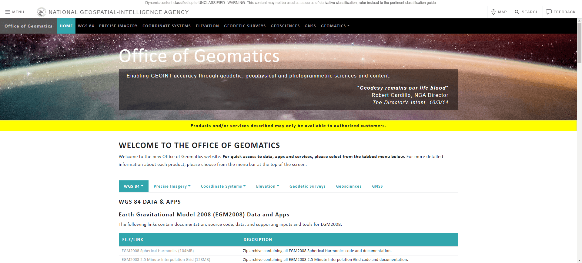
- img: https://pics.landcover100.com/pics/image/REF1.png
  link: https://earth-info.nga.mil/GandG/update/index.php?action=home
  name: MGRS Grid Data Layers
  desc: Military Grid Reference System (MGRS), derived from the Universal
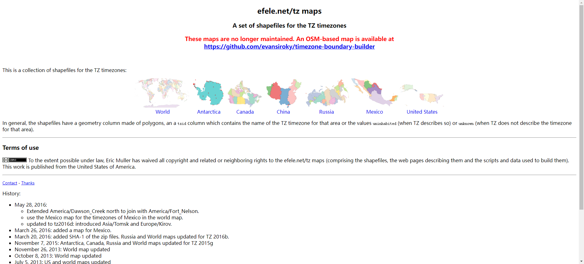
- img: https://pics.landcover100.com/pics/image/REF3.png
  link: http://efele.net/maps/tz/
  name: Timezones
  desc: Shapefiles.
- img: https://pics.landcover100.com/pics/image/REF4.png
  link: http://www.mindland.com/wp/projects/quarter-degree-grid-cells/down
  name: Quarter Degree Grid Cell shapefiles
  desc: Global coverage down to level four, naming convention based on the
  author: Login Required?No
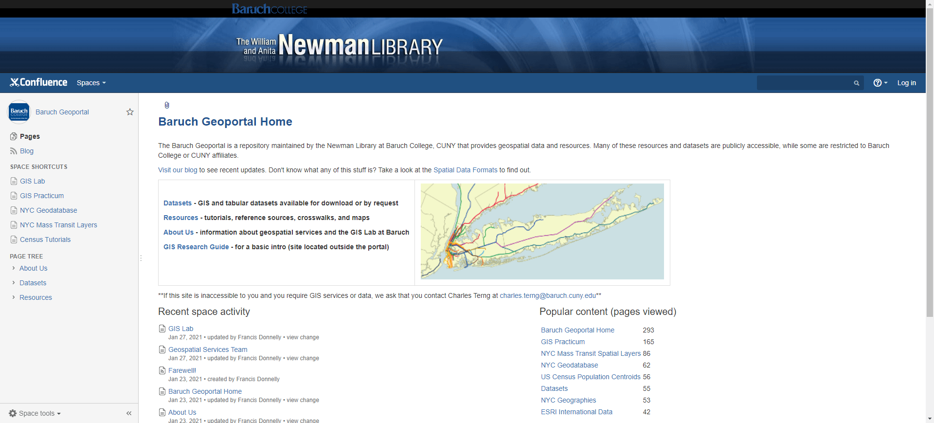
- img: https://pics.landcover100.com/pics/image/REF6.png
  link: http://www.baruch.cuny.edu/geoportal/data/esri/esri_intl.htm
  name: Baruch Geoportal
  desc: ESRI international data served by CUNY includes UTM zones, time zo
  author: Login Required?No
- img: https://pics.landcover100.com/pics/image/REF8.png
  link: http://dbsgeo.com/latlon/
  name: Get Lat/Long of any point in the map interface
  desc: WKT, geoJson or WikiPedia formats; source on github https://githu
  author: Login Required?No
导航表格 有一些网站是没有加载出来的,就没有做成贴片。更详细的信息见下表:
| Name | Web Address | Login Required? | Notes |
|---|---|---|---|
| MGRS Grid Data Layers | https://earth-info.nga.mil/GandG/update/index.php?action=home | No | Military Grid Reference System (MGRS), derived from the Universal Transverse Mercator (UTM) grid, is the geocoordinate standard used by NATO and other militaries for locating points on the earth. Shapefiles |
| Ordnance Survey National Grid (Great Britain) | http://market.weogeo.com/datasets/open_ordnance_survey_reference_system_grid.html?globalZoom=4&lat=55.69120025635&lon=-2.8304159658 | Yes | single shapefile containing the Ordnance Survey National Grid based on the OSGB36 datum |
| Timezones | http://efele.net/maps/tz/ | No | Shapefiles. See https://github.com/zmaril/Visualization-Data for timezones in GeoJSON |
| Quarter Degree Grid Cell shapefiles | http://www.mindland.com/wp/projects/quarter-degree-grid-cells/download-qdgc/ (by country); http://www.mindland.com/wp/download-qdgc-continents/ (by continents) | No | Global coverage down to level four, naming convention based on the ISO 3166-1 alpha-3 standard; Quarter Degree Grid Cells (QDGC or QDS – Quarter degree Squares) is a way of dividing the longitude latitude degree square cells into smaller squares, forming in effect a system of geocodes. Historically QDGC has been used in a many African atlases |
| GeoHash | http://geohash.org/ | No | hierarchical spatial data structure which subdivides space into buckets of grid shape; removing characters from the end of the code to reduce its size (and gradually lose precision). See https://en.wikipedia.org/wiki/Geohash for explanation and examples |
| Baruch Geoportal | http://www.baruch.cuny.edu/geoportal/data/esri/esri_intl.htm | No | ESRI international data served by CUNY includes UTM zones, time zones, lat/long as shapefiles including attrubtion for Tropic of Capricorn, Equator, Artic Circle, Intl Dateline etc. |
| Natural Earth Graticules | http://www.naturalearthdata.com/downloads/10m-physical-vectors/10m-graticules/ | No | |
| Get Lat/Long of any point in the map interface | http://dbsgeo.com/latlon/ | No | WKT, geoJson or WikiPedia formats; source on github: https://github.com/springmeyer/latlon |
有问题,我来改改 (opens new window)
上次更新: 2022/10/17, 19:07:36


