 Regional
Regional
- img: https://pics.landcover100.com/pics/image/REGIONAL15.png
  link: http://daac.ornl.gov/S2K/safari.shtml
  name: Southern African SAFARI 2000 Project
  desc: (Africa (Southern))Atmospheric, landcover data, soils, climate
  author: Login Required?No
- img: https://pics.landcover100.com/pics/image/REGIONAL17.png
  link: http://www.ecowrex.org/geoserver/web/?wicket:bookmarkablePage=:org.geoserver.web.demo
  name: Economic Community Of West African States (ECOWAS) Geoportal
  desc: (Africa (West))Focus on energy precipitation, solar irradiance, projects, stations,
  author: Login Required?No
- img: https://pics.landcover100.com/pics/image/REGIONAL21.png
  link: http://www.add.scar.org:8080/add/
  name: Antarctic Digital Database (British Artic Survey)
  desc: (Antarctica)Users may not, without further permission, redistribute the data or use t
  author: Login Required?Yes
- img: https://pics.landcover100.com/pics/image/REGIONAL23.png
  link: http://usarc.usgs.gov/drg_dload.shtml
  name: United States Antarctic Resource Center
  desc: (Antarctica)
  author: Login Required?No
- img: https://pics.landcover100.com/pics/image/REGIONAL26.png
  link: http://ngee-arctic.ornl.gov/data/#fq=datasource%3A%22NGEE%20Arctic%22&q=*%3A*
  name: NGEE Next Generation Ecocystem Experiments
  desc: (Artic)Some data are private but metadata is accessible
  author: Login Required?Yes, for some and to post
- img: https://pics.landcover100.com/pics/image/REGIONAL27.png
  link: http://geoportal.arctic-sdi.org
  name: Artic SDI Geoportal
  desc: (Artic)Looks like viewer, metadata catalog, and Web Map Tile Service (WMTS). No downl
  author: Login Required?No
- img: https://pics.landcover100.com/pics/image/REGIONAL29.png
  link: http://www.dbr.nu/data/geo/
  name: Diamond Bay Data
  desc: (Asia)Collection of Japanese, Tibetan, Chinese and Vietnamese data
  author: Login Required?No
- img: https://pics.landcover100.com/pics/image/REGIONAL34.png
  link: http://www.grida.no/baltic/htmls/arcinfo.htm
  name: Baltic Sea Region GIS, Maps and Statistical Database
  desc: (Baltic Region)Administrative Units, Arable Lands, Land and Ocean (Coastline), Land C
  author: Login Required?No
- img: https://pics.landcover100.com/pics/image/REGIONAL39.png
  link: http://www.eea.europa.eu/data-and-maps/figures/corine-land-cover-2000-by-country-3
  name: EU land cover 2000 by country
  desc: (Europe)Landcover- full raster available at http://www.eea.europa.eu/data-and-maps/da
  author: Login Required?Yes
- img: https://pics.landcover100.com/pics/image/REGIONAL40.png
  link: http://www.eurogeographics.org/products-and-services
  name: Eurogeographics
  desc: (Europe)Four downloadable
- img: https://pics.landcover100.com/pics/image/REGIONAL41.png
  link: http://www.eea.europa.eu/data-and-maps/data#c5=all&c11=&c17=&c0=5&b_start=0
  name: Europoean Environment Agency Data Service
  desc: (Europe)Downloadable Data for a Variety of Environmental Subjects
  author: Login Required?No
- img: https://pics.landcover100.com/pics/image/REGIONAL42.png
  link: http://www.europeandataportal.eu/data/en/dataset
  name: European Data Portal
  desc: (Europe)
  author: Login Required?No
- img: https://pics.landcover100.com/pics/image/REGIONAL43.png
  link: http://ec.europa.eu/eurostat/web/gisco/geodata
  name: Eurostat Geodata
  desc: (Europe)35 countries Administrative/Statistical Units (NUTS), population and demogra
  author: Login Required?No
- img: https://pics.landcover100.com/pics/image/REGIONAL44.png
  link: http://ccm.jrc.ec.europa.eu/php/index.php?action=view&id=24
  name: JRC River and Catchment Database for Europe
  desc: (Europe)Downloadable zips of AGS file geodatabases; river segments, catchments, sea o
  author: Login Required?Yes
- img: https://pics.landcover100.com/pics/image/REGIONAL45.png
  link: ftp://pdsimage2.wr.usgs.gov/pub/pigpen/globalgis
  name: USGS Global GIS
  desc: (Europe)MODIS IMagery, 30m DEM, hillshade Landscan 2000 population, earthquakes
  author: Login Required?No
- img: https://pics.landcover100.com/pics/image/REGIONAL47.png
  link: http://www.eurogeographics.org/form/topographic-data-eurogeographics
  name: EuroGlobalMap
  desc: (Europe)1:1 million scale topographic dataset covering 45 countries and territories i
- img: https://pics.landcover100.com/pics/image/REGIONAL48.png
  link: http://opengeodb.org/wiki/OpenGeoDB_Downloads
  name: OpenGeoDB
  desc: (Europe (Austria, Belgium, Germany, Liechtenstein, Switzerland))Places, postal area c
  author: Login Required?No
- img: https://pics.landcover100.com/pics/image/REGIONAL49.png
  link: http://www.eurogeographics.org/sites/default/files/EuroBoundaryMap_v70_Shapefiles.zip
  name: EurpoBoundaryMap
  desc: (Europe (Belgium, France, Germany and Lumembourg))Intended as sample evaluation for l
- img: https://pics.landcover100.com/pics/image/REGIONAL50.png
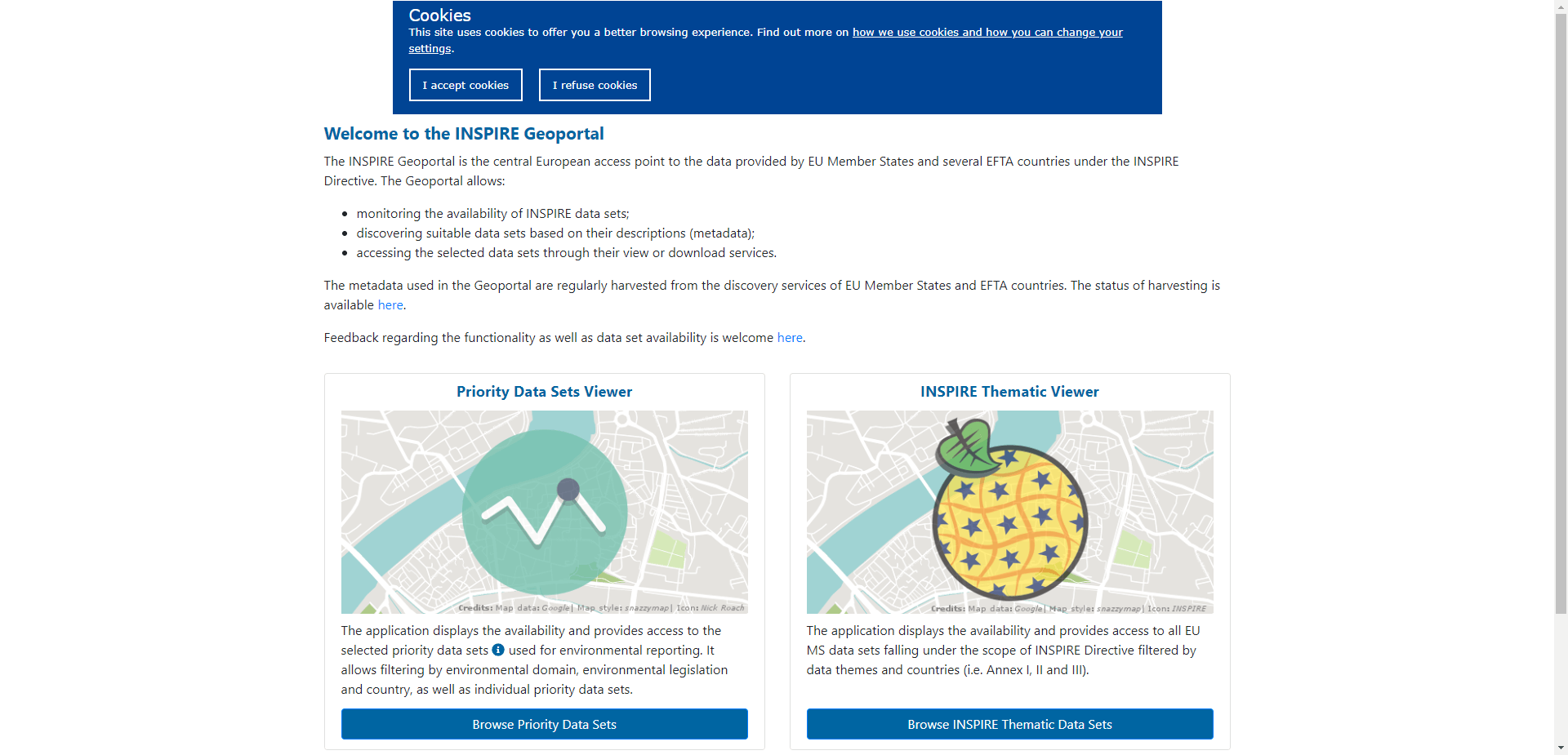
  link: http://inspire-geoportal.ec.europa.eu/
  name: INSPIRE Geoportal
  desc: (Europe (EU))
  author: Login Required?No
- img: https://pics.landcover100.com/pics/image/REGIONAL51.png
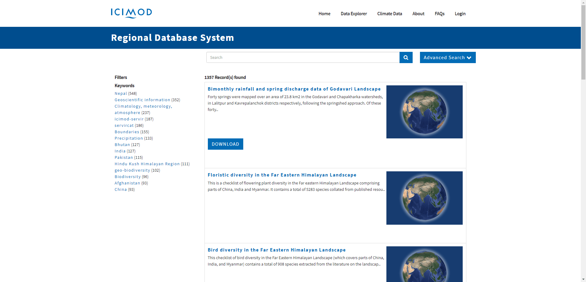
  link: http://rds.icimod.org/Home/Data?any=
  name: International Centre for Integrated Mountain Development (ICIMOD) GeoSpatial Data
  desc: (Hindu Kush-Himalayas – Afghanistan, Bangladesh, Bhutan, China, India, Myanmar, Nepal
  author: Login Required?No
- img: https://pics.landcover100.com/pics/image/REGIONAL54.png
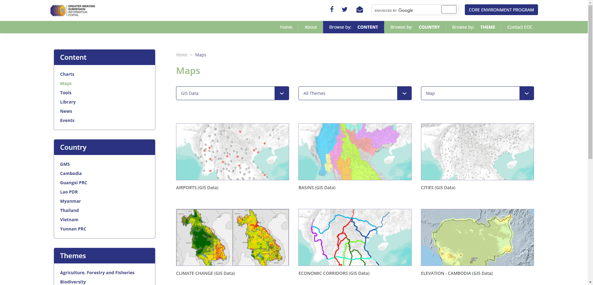
  link: http://portal.gms-eoc.org/maps?&cmbIndicatorMapType=data#
  name: Greater Mekong Subregion Core Environment Program (Asian Development Bank)
  desc: (Mekong Subregion (Cambodia, Guangxi PrC, Yunnan PrC, Lao PDR, Myanmar, Thailand, Vie
  author: Login Required?No (but available)
- img: https://pics.landcover100.com/pics/image/REGIONAL57.png
  link: http://www.servirglobal.net/mesoamerica/en/DataCatalog.aspx
  name: SERVIR Mesoamerica
  desc: (Mesoamerica)
  author: Login Required?No
- img: https://pics.landcover100.com/pics/image/REGIONAL58.png
  link: http://www.al-bab.com/arab/maps/maps.htm
  name: Maps of the Arab world
  desc: (Middle East )Mostly small scale PDF maps
  author: Login Required?No
- img: https://pics.landcover100.com/pics/image/REGIONAL59.png
  link: http://mideastweb.org/gsearch.htm?cof=FORID%3A10&cx=partner-pub-4451100498631888%3Aow
  name: Mideastweb Map Holdings
  desc: (Middle East )In particular look for "Detailed" maps which have
- img: https://pics.landcover100.com/pics/image/REGIONAL63.png
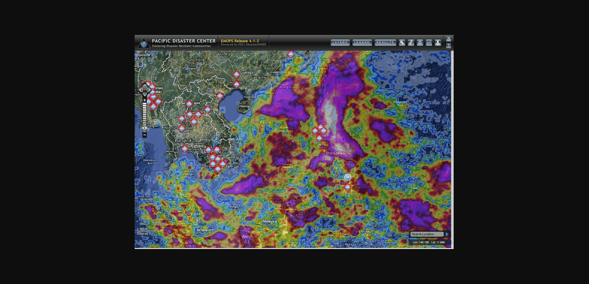
  link: http://www.pdc.org/emops/
  name: Pacific Disaster Center Emergency Operations
  desc: (Pacific Rim)User needs to request access
  author: Login Required?Yes
- img: https://pics.landcover100.com/pics/image/REGIONAL67.png
  link: http://gtkdata.gtk.fi/arcgis/rest/services
  name: Geological Survey of Finland
  desc: (mostly Nordic)Geology, lots of detailed mining data, active and closed mines, elevat
  author: Login Required?No
导航表格 更详细的信息,请见表:
| Name | Web Address | Notes |
|---|---|---|
| Africa Infrastructure Country Diagnostic (African Development Bank) | http://www.infrastructureafrica.org/tools/maps | Shapefiles and atlases of infrastructure data; Mostly ICT, power, transport and other infrastructure data |
| African Marine Atlas | http://iodeweb2.vliz.be/omap/OMAP/index.htm | |
| African Statistics Compilation Stanford University | http://library.stanford.edu/depts/ssrg/africa/statistics.html | Variety of statistics on African nations, Not spatial |
| AfriPop | http://www.afripop.org/ | click on 'Data' link to download and complete download form; data available in ESRI float format (unzip, import to ArcGIS using the 'Float to Raster' tool) |
| FAO - Africover | http://www.africover.org/ | |
| Map Library | http://www.maplibrary.org (opens new window) | redirects to Amazon instance http://www.mapmakerdata.co.uk.s3-website-eu-west-1.amazonaws.com/library/; admin boundaries, some imagery; mix of formats: shapefile, DRZ, MIF, KMZ etc. |
| SERVIR East Africa | http://rmgsc.cr.usgs.gov/outgoing/ecosystems/ | Ecosystem data including shoreline, topography, climate, ecosytems |
| http://www.servir.net/africa/index.php?option=com_content&task=blogcategory&id=16&Itemid=24 | ||
| African Terrestrial Fibre Optic Cables | https://commondatastorage.googleapis.com/ckannet-storage/2011-11-24T112025/AfTerFibre_21nov2011.csv | csv |
| ADB Open Data for Africa | http://opendataforafrica.org/data#menu=topic | 20 countries |
| USGS Global GIS | ftp://pdsimage2.wr.usgs.gov/pub/pigpen/globalgis | MODIS IMagery, 30m DEM, hillshade Landscan 2000 population, earthquakes |
| CARPE Data Explorer | http://congo.iluci.org:8080/geonetwork/srv/en/main.home | Congo Basin - online mapper http://congo.iluci.org/carpemapper/ |
| RCMRD GeoPortal | http://geoportal.rcmrd.org/ | See http://maps.rcmrd.org/ArcGIS/rest/services for services |
| OpenData for the Horn | http://horn.rcmrd.org (opens new window) | Looks like a geonode instance. Search, download and upload data and maps |
| Southern African SAFARI 2000 Project | http://daac.ornl.gov/S2K/safari.shtml | Atmospheric, landcover data, soils, climate |
| ArcHydro-Sources of GIS data and information in southern Africa | http://www.dwaf.gov.za/iwqs/gis_apps/ArcHydroSAdata.htm | DEMs, rivers, dams, landcover, |
| Economic Community Of West African States (ECOWAS) Geoportal | http://www.ecowrex.org/geoserver/web/?wicket:bookmarkablePage=:org.geoserver.web.demo.MapPreviewPage | Focus on energy: precipitation, solar irradiance, projects, stations, gas pipelines, transmission lines, roads, wind and energy generators, railways, localities, landocver and natural areas. some file links and live services work, others don't. |
| West Africa Regional GeoPortal for Fouta Djallon Highlands | http://www2.fouta-djallon-programme.org/FDHWebGis/ | Not operational as of Feb 2013; not sure if it covers areas outside of Guinea's national boundaries |
| West African Science Service Center on Climate Change and Adapted Land Use (WASCAL) Data Discovery Portal | https://icg4wascal.icg.kfa-juelich.de/wascal_searchportal2/dispatch? | Includes Admin boundaries, land cover, hydrology, utilities, transport etc. (data and documents) |
| OCHA ROWCA Geonode | http://geonode.ocharowca.info/layers/ | |
| Antarctic Digital Database (British Artic Survey) | http://www.add.scar.org:8080/add/ | Users may not, without further permission, redistribute the data or use the data in a commercial product.Prices for commercial licenses for the ADD are available at costs based on the nature and volume of publication |
| Australian Antarctic Data Centre | http://data.aad.gov.au/ | |
| United States Antarctic Resource Center | http://usarc.usgs.gov/drg_dload.shtml | |
| Quantarctica | http://quantarctica.org/ | collection of Antarctic geographical datasets, such as base maps, satellite imagery, glaciology and geophysics data from data centres around the world, prepared for QGIS. Developed by the Norwegian Polar Institute; freely available for non-commercial purposes. |
| NGA Artic Support Data and Services | http://nga.maps.arcgis.com/apps/PublicGallery/index.html?appid=dc06e1570de14885bb6c7adbaa5bfec5 | Link is to public gallery: includes infographics, static and online maps, data services, open data, related websites. Themes include DEMs, ports, airfields, sea ice, navigation aids and sea routes, energy potential, boundaries and economic zones. Covers portions of neighboring countries (Norway, Russia, Greenland, Iceland, Japan, USA, Canada) |
| NGEE: Next Generation Ecocystem Experiments | [http://ngee-arctic.ornl.gov/data/#fq=datasource%3A%22NGEE%20Arctic%22&q=%3A](http://ngee-arctic.ornl.gov/data/#fq=datasource%3A"NGEE Arctic"&q=%3A) | Some data are private but metadata is accessible |
| Artic SDI Geoportal | http://geoportal.arctic-sdi.org (opens new window) | Looks like viewer, metadata catalog, and Web Map Tile Service (WMTS). No downloads |
| AsiaPop | www.asiapop.org (opens new window) | Similar to "AfriPop" |
| Diamond Bay Data | http://www.dbr.nu/data/geo/ | Collection of Japanese, Tibetan, Chinese and Vietnamese data |
| APHRODITE monsoon Asia Precipitation data | http://www.chikyu.ac.jp/precip/english/products.html (opens new window) | Daily Gridded Precipitation Dataset for Asia Based on a Dense Network of Rain Gauges for 1951-2007, gridded product at 0.25-degree and 0.5-degree resolution. |
| Malaysia Geographic Infoarmation System (MyGIS) Forum | http://www.mygis.com.my/ | Does not distribute data but good place to ask the community for data and imagery in Malaysia and possibly other parts of Asia |
| USGS Global GIS | ftp://pdsimage2.wr.usgs.gov/pub/pigpen/globalgis | MODIS IMagery, 30m DEM, hillshade Landscan 2000 population, earthquakes |
| Baltic Environmental Atlas | http://maps.grida.no/baltic/ | Uses data that is downloadable from http://www.grida.no/baltic/htmls/arcinfo.htm |
| Baltic Sea Region GIS, Maps and Statistical Database | http://www.grida.no/baltic/htmls/arcinfo.htm | Administrative Units, Arable Lands, Land and Ocean (Coastline), Land Cover, Pasture Lands, Population Density, Sub-watershed Drainage Basins, Wetlands |
| Caribbean Hazard Mitigation Capacity Building Programme (CHAMP) | http://www.cdera.org/projects/champ/mitiplcy/gis.shtml | Links to PDF maps of hazard and vulnerability assessments |
| Maps for Garmin GPS Receivers | http://rwsmaps.griffel.se/ | INACTIVE MARCH 2018 Maps for Garmin GPS Receivers (also maps for Japan and Antarctica); download link is executable (http://rwsmaps.griffel.se/RWSMaps_Caribbean_v2.5_Setup.exe). Documentation for Garmin .img file format is here: http://sourceforge.net/projects/garmin-img/ ; not active as of 10Aug2015 |
| AmeriPop | www.ameripop.org (opens new window) | Similar to "AfriPop" and "AsiaPop"; human population distributions |
| USGS Global GIS | ftp://pdsimage2.wr.usgs.gov/pub/pigpen/globalgis | MODIS IMagery, 30m DEM, hillshade Landscan 2000 population, earthquakes |
| EU land cover 2000 by country | http://www.eea.europa.eu/data-and-maps/figures/corine-land-cover-2000-by-country-3 | Landcover- full raster available at http://www.eea.europa.eu/data-and-maps/data/corine-land-cover-2000-raster-1 |
| Eurogeographics | http://www.eurogeographics.org/products-and-services | Four downloadable pan-European geographic data sets ( and boundary) and two web services in development: State Boundaries of Europe (http://www.eurogeographics.org/content/downloads-0) and EuroGeoNames (http://www.eurogeographics.org/content/downloads) |
| Europoean Environment Agency Data Service | http://www.eea.europa.eu/data-and-maps/data#c5=all&c11=&c17=&c0=5&b_start=0 | Downloadable Data for a Variety of Environmental Subjects |
| European Data Portal | http://www.europeandataportal.eu/data/en/dataset | |
| Eurostat Geodata | http://ec.europa.eu/eurostat/web/gisco/geodata | 35 countries: Administrative/Statistical Units (NUTS), population and demography, transport networks, landcover, elevation and derived datasets (hydrography, slope, aspect etc.); data avaiable as personal file geodatabase or shapefile |
| JRC River and Catchment Database for Europe | http://ccm.jrc.ec.europa.eu/php/index.php?action=view&id=24 | Downloadable zips of AGS file geodatabases; river segments, catchments, sea outlets, lakes and river basins |
| USGS Global GIS | ftp://pdsimage2.wr.usgs.gov/pub/pigpen/globalgis | MODIS IMagery, 30m DEM, hillshade Landscan 2000 population, earthquakes |
| USGS Hydro 1K watershed basins for Europe | http://docs.wri.org/page_freshwater_eu_bas.zip | |
| EuroGlobalMap | http://www.eurogeographics.org/form/topographic-data-eurogeographics | 1:1 million scale topographic dataset covering 45 countries and territories in the European region; water, admin, trasport, popplace, elevation, location labels; GDB or SHP; OpenData Licence |
| OpenGeoDB | http://opengeodb.org/wiki/OpenGeoDB_Downloads | Places, postal area codes, population, governmental structure etc. Alternate access via dumps released on sourceforge: http://sourceforge.net/projects/opengeodb/ and http://fa-technik.adfc.de/code/opengeodb.pl |
| EurpoBoundaryMap | http://www.eurogeographics.org/sites/default/files/EuroBoundaryMap_v70_Shapefiles.zip | Intended as sample evaluation for larger commercial product found here: http://www.eurogeographics.org/products-and-services/euroboundarymap |
| INSPIRE Geoportal | http://inspire-geoportal.ec.europa.eu/ | |
| International Centre for Integrated Mountain Development (ICIMOD) GeoSpatial Data | http://rds.icimod.org/Home/Data?any= | http://rds.icimod.org/ |
| Horn of Africa Regional Enviornment Centre and Network (HoAREC) Geoportal | http://hoarec.org/index.php/geoportal-home | Under development as of 30Aug2012 |
| GeoSUR | http://www.geosur.info/geosur/ | List of OGC-based services registered with the Portal (WMS, WFS, CSW, topographic) and regional map viewer - in spanish and english |
| Greater Mekong Subregion Core Environment Program (Asian Development Bank) | http://portal.gms-eoc.org/maps?&cmbIndicatorMapType=data# (opens new window) | Airports, cities, tourism sites, transport, rivers, DEM/Slope, also environmental data (hydro-basins, LULC, biodiversity program locations) and climate change |
| Mekong River Commission Data and Information Master Catalogue | http://portal.mrcmekong.org/index | INACTIVE March 2018 Lots of fisheries and water quality data but also historic flooding, LULC, admin boundaries, villages/cities, ports, roads, hydropower project locations. Much of the data is open and free but general data handling fee of 15 USD applied to each download transaction (has good shopping cart feature to download multiple datasets in one transaction) |
| SERVIR America Latina & Caribe | http://portalgis.cathalac.org:8080/geoportal/catalog/main/home.page | |
| SERVIR Mesoamerica | http://www.servirglobal.net/mesoamerica/en/DataCatalog.aspx | |
| Maps of the Arab world | http://www.al-bab.com/arab/maps/maps.htm | Mostly small scale PDF maps |
| Mideastweb Map Holdings | http://mideastweb.org/gsearch.htm?cof=FORID%3A10&cx=partner-pub-4451100498631888%3Aowhqdb-uq6w&q=map&sa=Search&siteurl=www.mideastweb.org%2F&ref=www.mideastweb.org%2Fmiraqd.htm | In particular look for "Detailed" maps which have places, roads, rivers, borders - images could easliy be georeferenced |
| USGS Global GIS | ftp://pdsimage2.wr.usgs.gov/pub/pigpen/globalgis | MODIS IMagery, 30m DEM, hillshade Landscan 2000 population, earthquakes |
| USGS Global GIS | ftp://pdsimage2.wr.usgs.gov/pub/pigpen/globalgis | MODIS IMagery, 30m DEM, hillshade Landscan 2000 population, earthquakes |
| PacGeo | http://www.pacgeo.org/ (opens new window) | Geophysical, geodetic, and marine spatial data sets; lots of bathymetry and topography but also some previous innundation extents, some REDD+ areas, onshore imagery, building assessments etc. (Cook Islands, Fiji, Nauru, Niue, Samoa, Tuvalu, Micronesia, Kiribati, Marshall Islands, Palau, Papua New Guinea, Solomon Islands, Tokelau, Tonga, Timor-Leste, Vanuatu); nice global world ocean basemap. |
| Pacific Disaster Center Emergency Operations | http://www.pdc.org/emops/ | User needs to request access |
| The Pacific Community (SPC) Data Archive | http://pdl.spc.int/index.php/catalog/central/about | See also: http://prism.spc.int/regional-data-and-tools/popgis2; population, economic and social statistics, dwellings and development indicators, links to Sustainable Development Goal (SDG) Portal covering Cook Island, Fiji, Kiribati, Marshall Islands, Micronesia, Nauru,, Niue, Palau, PNG, Samoa, Solomon Islands, Tonga, Tuvalu and Vanautu. Data exportable as PDF maps or Excel sheets |
| Secretariat of the Pacific Community Applied Geoscience and Technology Division Map and Spatial Data Repository | http://dev.sopac.org.fj/MapInterface | Project to unify and catalogue SOPAC's spatial data collection - doesn't appear operational as of Jan 2013 |
| Pacific Catastrophe Risk Assessment and Financing Initiative (PCRAFI) Geonode | http://pcrafi.spc.int/beta/ | In beta Sept 2016 |
| Geological Survey of Finland | http://gtkdata.gtk.fi/arcgis/rest/services | Geology, lots of detailed mining data, active and closed mines, elevation data, municipalities, natural areas covering Sweden and Finland; Includes one geology layer for Lao PDR, one geology layer for Estonia |
| La Red Geoespacial de Americana Latina y el Caribe (GeoSUR) | http://www.geosur.info/geosur/ | Includes WMS,WFS and CSW |
| Land cover of South America | ftp://ftp.whrc.org/ | Landcover at 1km resolution based on satellite imagery; via ftp site |
| UNESCO Social Sentinel Project | http://www.unescobkk.org/culture/diversity/trafficking-hiv/projects/gis-linked-social-sentinel-surveillence-project/unesco-gis-map-collection-new/ | Static jpeg maps of health facilities, ethnics, religions, languages etc |
| START Data Distribution System | http://ccs.gms-eoc.org/ClimateChange/datadistribution/index.html | Climate data; The CC-DDS hosts the results of the PRECIS regional climate model. Users can define an area of interest on the GMS map and download a range of climate change data data for this area, including daily values for Tmax, Tmin, precipitation, wind speed and direction, and solar radiation. |
有问题,我来改改 (opens new window)
上次更新: 2022/10/17, 19:07:36


